Chilmark

Log in to your account

AroundUs is a community-driven map of interesting places, built by curious explorers like you. It grows with every review, story, and photo you share.
Connect to save your favorite spots, contribute locations, and create personalized routes.
Continue with Google
Continue with Apple
Continue with X
Continue with Facebook
Continue with email
By continuing, you accept our Terms and Conditions and our Privacy Policy
Create an account
Add to collection
Map
Suggest a change
Share

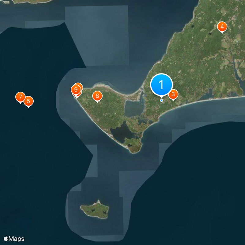
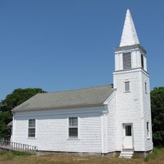
Chilmark, Coastal town in Dukes County, Massachusetts.

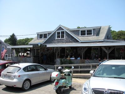
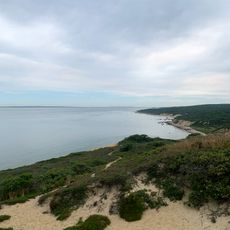
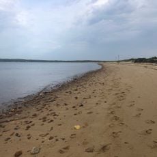
Chilmark is a town on Martha's Vineyard with stone walls, rolling terrain, and scattered ponds across its landscape. The settlement includes rural areas and Menemsha, a working fishing village on the waterfront.

The town takes its name from a place in Wiltshire, England, and was founded in 1694 when settlement was organized under Thomas Mayhew. This early period set the foundation for its development as a community on the island.

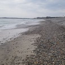
The fishing village of Menemsha reflects how people here have long made their living from the sea, with working boats and docks that show the daily rhythm of maritime life. The community carries forward practices passed down through generations of families tied to fishing.

The town is located on the southwestern part of Martha's Vineyard and connects to other island areas by road, but has no direct ferry link to the mainland. Visitors should plan to reach the island first before exploring this southwestern section.

During the 1800s, an unusually high number of deaf residents lived here, shaping the community and developing their own sign language. This part of the town's past shows how the population embraced and integrated this diversity into everyday life.

Location: Dukes County

Inception: 1660

Elevation above the sea: 28 m

Website: http://ci.chilmark.ma.us

GPS coordinates: 41.34306,-70.74528

Latest update: December 20, 2025 11:23

Photos
Around this place
Gay Head Light
United States of America

Gay Head Light

7.5 km
Barn House
United States of America

Barn House

1 km
United States of America

Polly Hill Arboretum

8.1 km
Brewster Islands Military Reservation
United States of America

Brewster Islands Military Reservation

11.9 km
Edwin DeVries Vanderhoop Homestead
United States of America

Edwin DeVries Vanderhoop Homestead

7.6 km
Calf Island Military Reservation
United States of America

Calf Island Military Reservation

12.6 km
Gay Head-Aquinnah Town Center Historic District
United States of America

Gay Head-Aquinnah Town Center Historic District

5.7 km
United States of America

Loran Transmitting Station Martha's Vineyard

7.7 km
Nomans Land Island National Wildlife Refuge
United States of America

Nomans Land Island National Wildlife Refuge

11.4 km
Lucy Vincent Beach
United States of America

Lucy Vincent Beach

1.6 km
United States of America

Squibnocket Beach

5.3 km
Menemsha Hills Reservation Beach
United States of America

Menemsha Hills Reservation Beach

3.3 km
United States of America

Menemsha Hills and The Brickyard

3.1 km
Moshup Beach
United States of America

Moshup Beach

7.7 km
United States of America

Long Beach

5.8 km
Menemsha Beach
United States of America

Menemsha Beach

2.2 km
Stonewall Beach
United States of America

Stonewall Beach

2.3 km
Lobsterville Beach
United States of America

Lobsterville Beach

3.9 km
United States of America

Gay Head Cliffs

7.6 km
United States of America

Zacks Cliffs

6.2 km
Gay Head Town Beach
United States of America

Gay Head Town Beach

7 km
United States of America

Nashaquitsa Cliffs

2.9 km
United States of America

Wequobsque Cliffs

1.2 km
United States of America

Polly Hill Arboretum

8.2 km

Stonewall Beach

2.3 km
United States of America

Scenic viewpoint

2.9 km
United States of America

Great Sand Bank

3.4 km
United States of America

Scenic viewpoint

7.7 km
Show the full map
Reviews

Visited this place? Tap the stars to rate it and share your experience / photos with the community! Try now! You can cancel it anytime.

« Chilmark - Coastal town in Dukes County, Massachusetts » is provided by Around Us (aroundus.com). Images and texts are derived from Wikimedia project under a Creative Commons license. You are allowed to copy, distribute, and modify copies of this page, under the conditions set by the license, as long as this note is clearly visible.

Discover hidden gems everywhere you go!

From secret cafés to breathtaking viewpoints, skip the crowded tourist spots and find places that match your style. Our app makes it easy with voice search, smart filtering, route optimization, and insider tips from travelers worldwide. Download now for the complete mobile experience.

Around Us App Screenshot

A unique approach to discovering new places

Le Figaro

All the places worth exploring

France Info

A tailor-made excursion in just a few clicks

20 Minutes