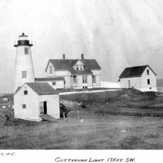
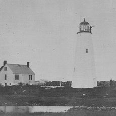
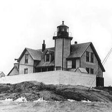
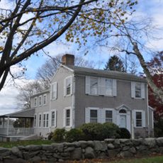
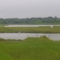
Gosnold, town in Massachusetts, United States
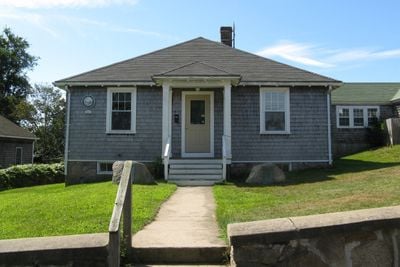
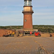
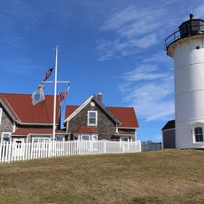
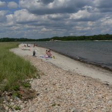
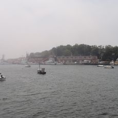
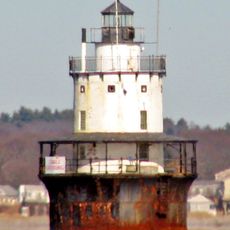
Location: Dukes County
Inception: 1641
Elevation above the sea: 26 m
Website: https://www.townofgosnold.org/
Website: https://townofgosnold.org
GPS coordinates: 41.48167,-70.75694
Latest update: May 27, 2025 11:39
Gay Head Light
16.2 km
Nobska Light
9.3 km
Fort Rodman
17.3 km
Woods Hole Science Aquarium
8.5 km
Demarest Lloyd State Park
19.5 km
Coast Guard Station Woods Hole
8.7 km
Buzzards Bay Entrance Light
25 km
Barn House
15.5 km
Lambert's Cove Beach
8.3 km
Butler Flats Light
17.8 km
Slocum's River Reserve
22.4 km
Polly Hill Arboretum
11.3 km
Tarpaulin Cove Light
1.4 km
Brewster Islands Military Reservation
19.4 km
Barneys Joy Point Military Reservation
19.2 km
Edwin DeVries Vanderhoop Homestead
16.6 km
Woods Hole School
8.7 km
Cuttyhunk Light
17.7 km
Clarks Point Light
17.3 km
Hazelwood Park
19.1 km
Calf Island Military Reservation
19.5 km
Dumpling Rocks Light
15.1 km
Tashmoo Springs Pumping Station
11.8 km
Gay Head-Aquinnah Town Center Historic District
16.3 km
Hill School
19.3 km
Allens Pond Wildlife Sanctuary
22.4 km
South End Beach Compass
18.5 km
Dumpling Rocks Light
15.1 kmReviews
Visited this place? Tap the stars to rate it and share your experience / photos with the community! Try now! You can cancel it anytime.
Discover hidden gems everywhere you go!
From secret cafés to breathtaking viewpoints, skip the crowded tourist spots and find places that match your style. Our app makes it easy with voice search, smart filtering, route optimization, and insider tips from travelers worldwide. Download now for the complete mobile experience.
A unique approach to discovering new places❞
— Le Figaro
All the places worth exploring❞
— France Info
A tailor-made excursion in just a few clicks❞
— 20 Minutes