Pocahontas, city in Arkansas, United States
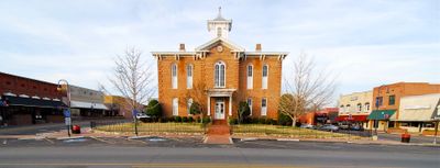
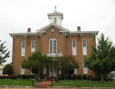
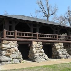
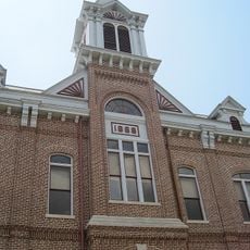
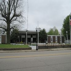
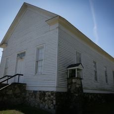
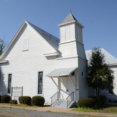
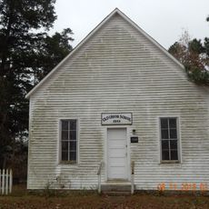
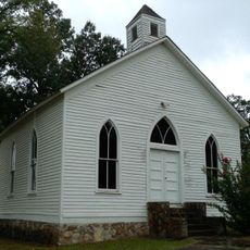
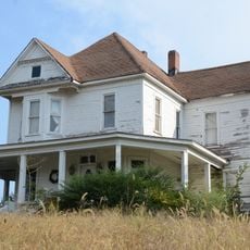
Pocahontas is a city in Randolph County, West Virginia, nestled in a valley surrounded by forested hills. The downtown area displays the typical character of an old mining town with residential buildings, historic storefronts, and public structures arranged along the main street.
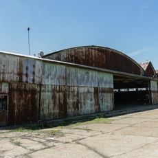
The city was founded in the second half of the 1800s when coal mining operations began extracting resources from the Appalachian region. Mining remained the driving force behind the town's growth and economic development for many decades.
The town carries the name of the historical Pocahontas and reflects its mining heritage through architecture and building styles that still mark the landscape today. Residents maintain connections to this industrial past through local stories and how they use and care for their community.
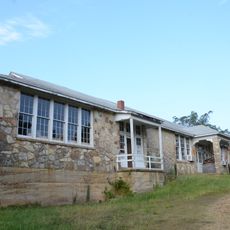
The warmer months offer the best climate for visiting when the mountain landscape is more pleasant and green. The compact downtown is walkable on foot and parking is available throughout, so exploring the main areas does not require a car.
The city was named after the historical figure Pocahontas, an unusual choice for a coal mining settlement in the southern Appalachian region. This connection between the name origin and the later industrial character of the place sets it apart from many other mining towns in the area.
The community of curious travelers
AroundUs brings together thousands of curated places, local tips, and hidden gems, enriched daily by 60,000 contributors worldwide.