Calhoun County

Log in to your account

AroundUs is a community-driven map of interesting places, built by curious explorers like you. It grows with every review, story, and photo you share.
Connect to save your favorite spots, contribute locations, and create personalized routes.
Continue with Google
Continue with Apple
Continue with X
Continue with Facebook
Continue with email
By continuing, you accept our Terms and Conditions and our Privacy Policy
Create an account
Add to collection
Map
Suggest a change
Share

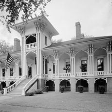
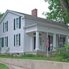
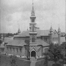
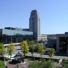
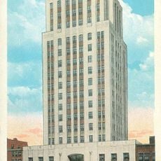
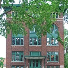
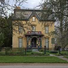
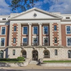
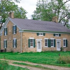
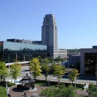
Calhoun County, Administrative division in Michigan, United States.

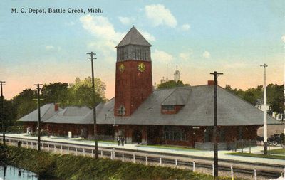
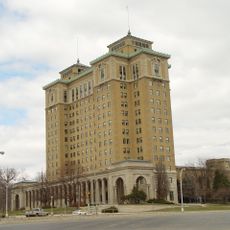
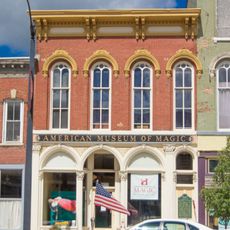
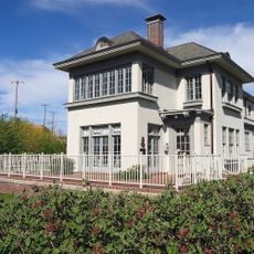
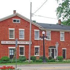
Calhoun County is an administrative division in Michigan that contains multiple cities and towns with government offices and community services. The county is linked by main roads that connect its various municipalities and serve as the backbone of regional movement.

The county was named after John C. Calhoun, who served as Vice President under two U.S. presidents from 1825 to 1832. His national prominence led to his name being given to several regions across America.

Adoption ceremonies bring families together through the local court system, making legal proceedings into celebrations shared by the community. These gatherings show how official processes are woven into everyday life.

The county website allows you to handle tax payments and access public records without visiting in person. Email subscriptions keep you updated on local announcements and changes as they happen.

County buildings display green lights during Operation Green Lights for Veterans, honoring those who served in the military and their families. The gesture demonstrates how the community expresses gratitude for military service.

Location: Michigan

Inception: October 19, 1829

Capital city: Marshall

Shares border with: Eaton County, Branch County, Jackson County, Hillsdale County, St. Joseph County, Kalamazoo County, Barry County

Website: http://calhouncountymi.org

GPS coordinates: 42.25000,-85.00000

Latest update: December 22, 2025 09:53

Photos
Around this place
Battle Creek Sanitarium
United States of America

Battle Creek Sanitarium

17.7 km
American Museum of Magic
United States of America

American Museum of Magic

4.2 km
Binder Park Zoo
United States of America

Binder Park Zoo

13.7 km
W. K. Kellogg House
United States of America

W. K. Kellogg House

16.7 km
Honolulu House
United States of America

Honolulu House

3.9 km
Governor's Mansion
United States of America

Governor's Mansion

4.1 km
Detroit Air Defense Sector
United States of America

Detroit Air Defense Sector

23.4 km
Leila Arboretum
United States of America

Leila Arboretum

20.2 km
Brooks Field
United States of America

Brooks Field

3.6 km
Kingman Museum
United States of America

Kingman Museum

19.9 km
Dime Tabernacle
United States of America

Dime Tabernacle

17.8 km
Battle Creek Tower
United States of America

Battle Creek Tower

17.1 km
Heritage Tower
United States of America

Heritage Tower

17 km
Marshall Historic District
United States of America

Marshall Historic District

4 km
Penniman Castle
United States of America

Penniman Castle

15.3 km
23 Mile Road–Kalamazoo River Bridge
United States of America

23 Mile Road–Kalamazoo River Bridge

12.7 km
12 Mile Road–Kalamazoo River Bridge
United States of America

12 Mile Road–Kalamazoo River Bridge

5.5 km
Masonic Temple Building
United States of America

Masonic Temple Building

4.2 km
Harold C. Brooks House
United States of America

Harold C. Brooks House

4 km
Gardner House
United States of America

Gardner House

20.4 km
Battle Creek City Hall
United States of America

Battle Creek City Hall

16.5 km
Stow-Hasbrouck House
United States of America

Stow-Hasbrouck House

10.4 km
National House
United States of America

National House

3.8 km
United States of America

Oakhill

4.4 km
Wagner's Block
United States of America

Wagner's Block

4.1 km
Maple Street Historic District
United States of America

Maple Street Historic District

16.4 km
City Hall Historic District
United States of America

City Hall Historic District

16.6 km
Merritt Woods Historic District
United States of America

Merritt Woods Historic District

16.8 km
Show the full map
Reviews

Visited this place? Tap the stars to rate it and share your experience / photos with the community! Try now! You can cancel it anytime.

Administrative divisions
« Calhoun County - Administrative division in Michigan, United States » is provided by Around Us (aroundus.com). Images and texts are derived from Wikimedia project under a Creative Commons license. You are allowed to copy, distribute, and modify copies of this page, under the conditions set by the license, as long as this note is clearly visible.

Discover hidden gems everywhere you go!

From secret cafés to breathtaking viewpoints, skip the crowded tourist spots and find places that match your style. Our app makes it easy with voice search, smart filtering, route optimization, and insider tips from travelers worldwide. Download now for the complete mobile experience.

Around Us App Screenshot

A unique approach to discovering new places

Le Figaro

All the places worth exploring

France Info

A tailor-made excursion in just a few clicks

20 Minutes