Enable Location

We need your location to show you interesting places around you

Discover nearby places

Find interesting locations and hidden gems around you

Precise directions

Get accurate directions and distances to places

Your location is never shared with other users. It's only used when you tap the location button.

Van Buren County

Log in to your account

Start exploring — it's free

Trusted by 61,553 travelers worldwide

Continue with Google
Continue with Apple
or

We will send you a code to connect

By continuing, you accept our Terms and Conditions and our Privacy Policy

Check your inbox

We've sent a pincode in your inbox. Please enter the code below.

Van Buren County, Administrative division in southwestern Michigan, United States.

Description

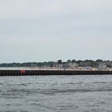
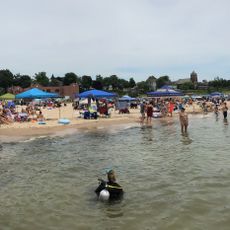
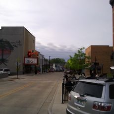
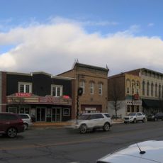
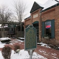
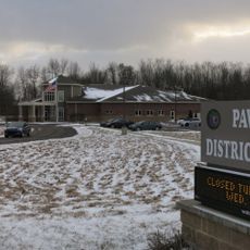
Van Buren County is an administrative region in southwestern Michigan that extends along Lake Michigan's shores and incorporates both water bodies and agricultural areas. It is governed from an administrative center in Paw Paw, where services including courts, document recording, and public health oversight are managed for residents.

History

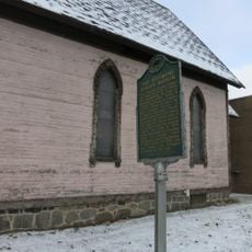
The county was established in 1829 and named after Martin Van Buren, who served as Secretary of State before becoming president. This naming reflects the national significance of figures and events that mattered during the county's founding period.

Culture

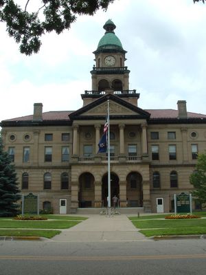
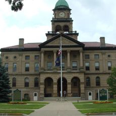
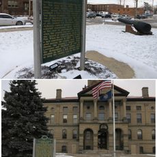
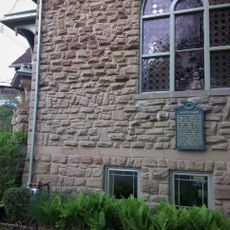
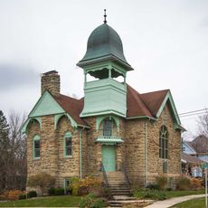
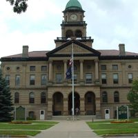
The courthouse from 1901 displays architectural features that reflect local building traditions of its era. It remains a visible symbol in the community and shows how residents have historically managed their public affairs in a physical space.

Practical

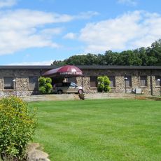
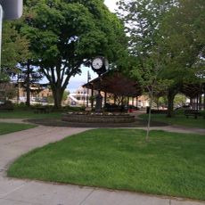
Visitors can access administrative services and public spaces distributed across Paw Paw and other towns throughout the region. Getting around is best done by car or on foot in town centers, as the area is rural with scattered communities.

Did you know?

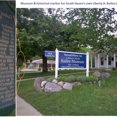
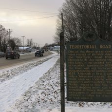
The area is known for fruit farming and proximity to Lake Michigan, activities that have shaped local livelihoods for generations. Many visitors overlook the variety of local orchards and small producers that define the rural landscape here.

Location
Inception
1829
Capital city
Paw Paw
Shares border with
Allegan County, Berrien County, Kalamazoo County, Cass County, St. Joseph County, Lake County
Website
GPS coordinates
42.27000,-86.31000
Latest update
December 7, 2025 10:06

AroundUs brings together thousands of curated places, local tips, and hidden gems, enriched daily by 60,000 contributors worldwide. Discover all places nearby (Michigan).

Around this place
Kal-Haven Trail
United States of America

Kal-Haven Trail

31.6 km
Van Buren State Park
United States of America

Van Buren State Park

8.7 km
South Haven Light
United States of America

South Haven Light

14.7 km
Michigan Maritime Museum
United States of America

Michigan Maritime Museum

15.5 km
North Point Park
United States of America

North Point Park

8.2 km
George Newton House
United States of America

George Newton House

40.2 km
Van Buren County Courthouse
United States of America

Van Buren County Courthouse

35.1 km
Paw Paw City Hall
United States of America

Paw Paw City Hall

35 km
Bangor Elevator
United States of America

Bangor Elevator

17 km
Liberty Hyde Bailey Birthplace
United States of America

Liberty Hyde Bailey Birthplace

14.1 km
Houppert Winery Complex
United States of America

Houppert Winery Complex

40.1 km
North Watervliet Road – Paw Paw Lake Outlet Bridge
United States of America

North Watervliet Road – Paw Paw Lake Outlet Bridge

8.5 km
Bailey Museum
United States of America

Bailey Museum

14.1 km
Dyckman Park
United States of America

Dyckman Park

15.1 km
North Beach
United States of America

North Beach

15.2 km
South Beach
United States of America

South Beach

14.8 km
Dyckman Bridge
United States of America

Dyckman Bridge

15.5 km
Michigan Theatre
United States of America

Michigan Theatre

15.2 km
Strand Theater
United States of America

Strand Theater

35 km
South Haven Memorial Library
United States of America

South Haven Memorial Library

15.1 km
Reverend Darius Barker Historical Marker
United States of America

Reverend Darius Barker Historical Marker

35.6 km
Van Buren County Courthouse Historical Marker
United States of America

Van Buren County Courthouse Historical Marker

35.2 km
Territorial Road Historical Marker
United States of America

Territorial Road Historical Marker

34.7 km
Warner Wine Haus Historical Marker
United States of America

Warner Wine Haus Historical Marker

35.1 km
Scott Club Historical Marker
United States of America

Scott Club Historical Marker

15.2 km
Saint Mark's Church Historical Marker
United States of America

Saint Mark's Church Historical Marker

35.6 km
Scott Club
United States of America

Scott Club

15.2 km
Paw Paw District Library
United States of America

Paw Paw District Library

33.9 km
Show the full map
Administrative divisions
« Van Buren County - Administrative division in southwestern Michigan, United States » is provided by Around Us (aroundus.com). Images and texts are derived from Wikimedia project under a Creative Commons license. You are allowed to copy, distribute, and modify copies of this page, under the conditions set by the license, as long as this note is clearly visible.

Discover hidden gems everywhere you go!

From secret cafés to breathtaking viewpoints, skip the crowded tourist spots and find places that match your style. Our app makes it easy with voice search, smart filtering, route optimization, and insider tips from travelers worldwide. Download now for the complete mobile experience.

Around Us App Screenshot

A unique approach to discovering new places

Le Figaro

All the places worth exploring

France Info

A tailor-made excursion in just a few clicks

20 Minutes

Around Us
Travel Guide & Maps
Download

Send to your phone

QR Code
1

Open the camera app on your mobile.

2

Point at the QR code with your camera. A notification will appear.

3

Tap the notification to open the link.