Enable Location

We need your location to show you interesting places around you

Discover nearby places

Find interesting locations and hidden gems around you

Precise directions

Get accurate directions and distances to places

Your location is never shared with other users. It's only used when you tap the location button.

Morgan County

Log in to your account

Start exploring — it's free

Trusted by 63,255 travelers worldwide

Continue with Google
Continue with Apple
or

We will send you a code to connect

By continuing, you accept our Terms and Conditions and our Privacy Policy

Check your inbox

We've sent a pincode in your inbox. Please enter the code below.

Discussion Reviews 1 Photos
23.2k Popularity

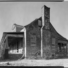
Morgan County, County in northern Alabama, United States.

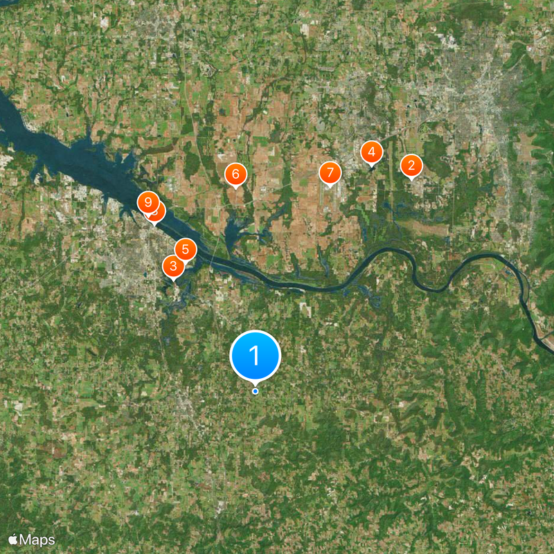
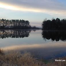
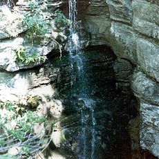
Morgan County is a county in northern Alabama covering around 1,552 square kilometers, with the Tennessee River flowing through its northern section. The region features mountains and valleys that shape its landscape.

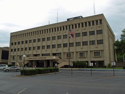
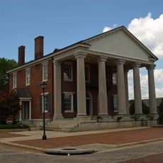
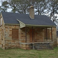
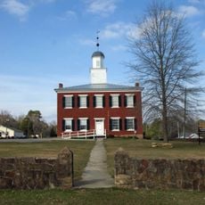
The county was established by the Alabama Legislature on February 6, 1818. Somerville served as its initial seat until 1891, when it was moved.

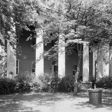
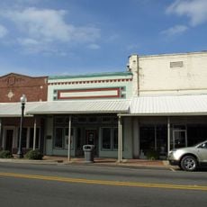
The county hosts regular agricultural fairs and community gatherings where visitors can see local food production, crafts, and regional music performances. These events reflect the pride residents take in their rural traditions and working heritage.

Interstate 65 and U.S. Highway 31 cross through the county, connecting it to major transportation networks in northern Alabama. These main routes make travel through the region straightforward.

Manufacturing facilities at Devil's Slide produce Portland cement, continuing an industrial tradition spanning more than eight decades. This operation remains a significant economic anchor for the county.

The community of curious travelers

AroundUs brings together thousands of curated places, local tips, and hidden gems, enriched daily by 60,000 contributors worldwide.

Start exploring
Location
Inception
February 6, 1818
Capital city
Decatur
Shares border with
Madison County, Cullman County, Lawrence County, Limestone County, Marshall County
GPS coordinates
34.45167,-86.85722
Latest update
December 20, 2025 14:42
Around this place
Neutral Buoyancy Simulator
United States of America

Neutral Buoyancy Simulator

27.8 km
Wheeler National Wildlife Refuge
United States of America

Wheeler National Wildlife Refuge

14.6 km
United States of America

Space City USA

26.8 km
United States of America

Point Mallard Park

15.5 km
Belle Mina
United States of America

Belle Mina

21.6 km
ARMOR Doppler Weather Radar
United States of America

ARMOR Doppler Weather Radar

23 km
Captain William J. Hudson "Steamboat Bill" Memorial Bridges
United States of America

Captain William J. Hudson "Steamboat Bill" Memorial Bridges

20.6 km
United States of America

Norfolk Southern Tennessee River Bridge

21.7 km
Princess Theatre
United States of America

Princess Theatre

20.6 km
Clement C. Clay Bridge
United States of America

Clement C. Clay Bridge

30 km
Rhea-McEntire House
United States of America

Rhea-McEntire House

21.8 km
United States of America

Beaver Creek Swamp

22.1 km
State Bank Building, Decatur Branch
United States of America

State Bank Building, Decatur Branch

21.5 km
Newsome Sinks Karst Area
United States of America

Newsome Sinks Karst Area

23.9 km
Cotaco Opera House
United States of America

Cotaco Opera House

20.5 km
United States of America

Redstone Arsenal cemeteries

31.9 km
United States of America

Delano Park

19.5 km
Westview Plantation
United States of America

Westview Plantation

8.4 km
Wheeler National Wildlife Refuge Warden's Residence
United States of America

Wheeler National Wildlife Refuge Warden's Residence

18.4 km
United States of America

Blue and Gray Museum

21.4 km
Somerville Courthouse
United States of America

Somerville Courthouse

6.2 km
New Decatur–Albany Historic District
United States of America

New Decatur–Albany Historic District

20.5 km
Bank Street–Old Decatur Historic District
United States of America

Bank Street–Old Decatur Historic District

21.2 km
East Old Town Historic District
United States of America

East Old Town Historic District

21.9 km
United States of America

Woodside

22.3 km
Green Pryor Rice House
United States of America

Green Pryor Rice House

6.2 km
Hartselle Downtown Commercial Historic District
United States of America

Hartselle Downtown Commercial Historic District

7.1 km
United States of America

Dr. William E. Murphey House

30.7 km
Show the full map
Reviews
Share your experience

No review yet

Discussions
Start a discussion...

No discussion yet

« Morgan County - County in northern Alabama, United States » is provided by Around Us (aroundus.com). Images and texts are derived from Wikimedia project under a Creative Commons license. You are allowed to copy, distribute, and modify copies of this page, under the conditions set by the license, as long as this note is clearly visible.

Discover hidden gems everywhere you go!

From secret cafés to breathtaking viewpoints, skip the crowded tourist spots and find places that match your style. Our app makes it easy with voice search, smart filtering, route optimization, and insider tips from travelers worldwide. Download now for the complete mobile experience.

Around Us App Screenshot

A unique approach to discovering new places

Le Figaro

All the places worth exploring

France Info

A tailor-made excursion in just a few clicks

20 Minutes

Around Us
Travel Guide & Maps
Download

Send to your phone

QR Code
1

Open the camera app on your mobile.

2

Point at the QR code with your camera. A notification will appear.

3

Tap the notification to open the link.