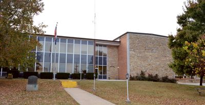
Wright County, Administrative division in Missouri, United States
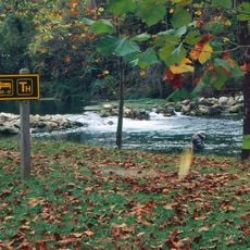
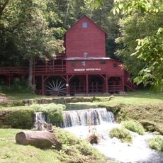
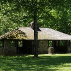
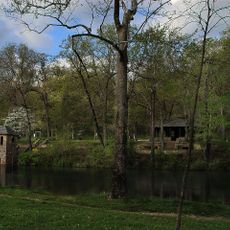
Wright County spreads across rolling terrain dotted with small lakes and water bodies scattered throughout. The landscape is made up of forests, grasslands, and wetlands that give the region its varied character.
This county was established in 1855 and relocated its administrative center from Monticello to Buffalo in 1868. This move reflected changing needs and growth patterns within the developing region.
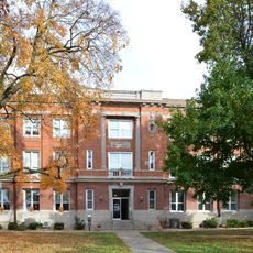
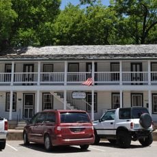
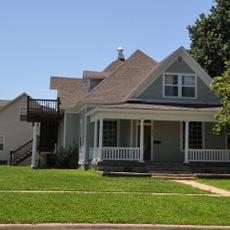
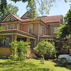
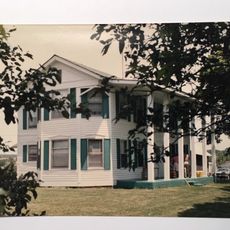
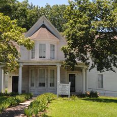
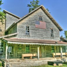
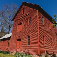
German and Swedish settlers left a lasting mark on communities like Mountain Grove, Mansfield, and Hartville, where their traditions continue to shape local life today. You can see this heritage in the way people celebrate, the crafts they practice, and the older buildings throughout these towns.
Interstate 94 and U.S. Highway 12 connect this area directly to the Minneapolis-St. Paul-Bloomington region, making travel straightforward for visitors. The varying terrain means you should allow extra time when driving between communities.
The elevation changes dramatically across the county, rising from around 860 feet (260 m) at its lowest point to over 1,750 feet (530 m) at its highest. These height variations create different environments that support diverse plants and animals.
GPS coordinates: 37.27310,-92.47660
Latest update: December 7, 2025 19:29
Uranus Missouri
70 km
Laura Ingalls Wilder House
20.6 km
Bennett Spring State Park
59.8 kmMarine Corps Detachment, Fort Leonard Wood
60.5 km
Hodgson-Aid Mill
65.6 km
Springfield National Cemetery
70.7 km
Bryant Creek State Park
50.8 km
Rainey Funeral Home Building
38.6 km
Ozark Courthouse Square Historic District
70.8 km
Old Stagecoach Stop
66.6 km
Ralph E. Burley House
48 km
Laura Ingalls Wilder Historic Home & Museum
20.9 km
Wallace House
48.7 km
Calloway Manes Homestead
68.1 km
Ploger-Moneymaker Place
48.8 km
Ava Ranger Station Historic District
40.8 km
Col. Thomas C. Love House
24.3 km
Ambassador Apartments
71.2 km
Edward M. and Della C. Wilhoit House
70.7 km
Pulaski County Courthouse
66.5 km
Boegel and Hine Flour Mill-Wommack Mill
60.9 km
Bennett Spring Dining Lodge
60.6 km
KY3-Sendemast
42.6 km
Millwood Gold and Racquet Club
69 km
Montauk State Park Open Shelter
72.5 km
Uranus
70.1 km
Topaz Mill
43.8 km
Bennett Spring State Park Shelter House and Water Gauge Station
59.8 kmVisited this place? Tap the stars to rate it and share your experience / photos with the community! Try now! You can cancel it anytime.
Discover hidden gems everywhere you go!
From secret cafés to breathtaking viewpoints, skip the crowded tourist spots and find places that match your style. Our app makes it easy with voice search, smart filtering, route optimization, and insider tips from travelers worldwide. Download now for the complete mobile experience.
A unique approach to discovering new places❞
— Le Figaro
All the places worth exploring❞
— France Info
A tailor-made excursion in just a few clicks❞
— 20 Minutes