Enable Location

We need your location to show you interesting places around you

Discover nearby places

Find interesting locations and hidden gems around you

Precise directions

Get accurate directions and distances to places

Your location is never shared with other users. It's only used when you tap the location button.

Saline County

Log in to your account

Start exploring — it's free

Trusted by 61,502 travelers worldwide

Continue with Google
Continue with Apple
or

We will send you a code to connect

By continuing, you accept our Terms and Conditions and our Privacy Policy

Check your inbox

We've sent a pincode in your inbox. Please enter the code below.

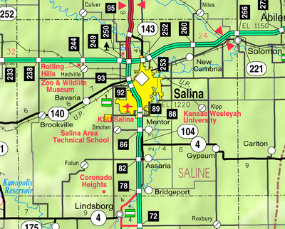
Saline County, Administrative county in central Kansas, United States.

Description

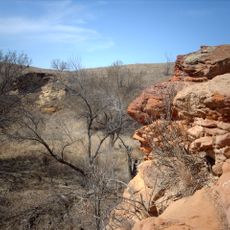
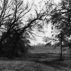
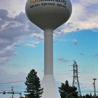
Saline County is an administrative region in central Kansas covering approximately 1,900 square kilometers of farmland, small towns, and the city of Salina as its main hub. The county spreads across flat terrain crossed by the Smoky Hill River and its tributaries, with scattered communities and manufacturing centers.

History

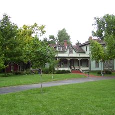
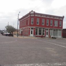
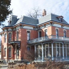
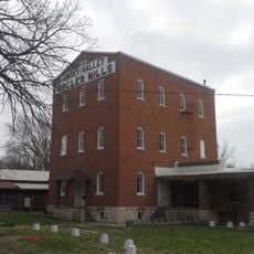
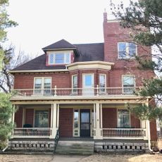
The county was established in 1860 as settlers moved westward and built communities along the Smoky Hill Trail trading route. Growth followed with ranching and farming becoming dominant, later supplemented by manufacturing and grain processing industries.

Culture

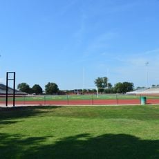
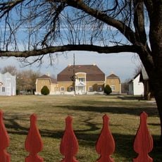
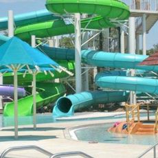
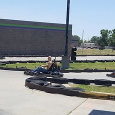
The Saline County State Lake serves as a gathering place where locals spend weekends fishing, picnicking, and enjoying water activities with family and friends. The parks throughout the area reflect how residents use their free time and connect with each other in outdoor spaces.

Practical

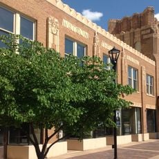
The county sits at the crossroads of Interstate 70 and Interstate 135, making it easy to navigate and access from major highways. Salina offers most services and accommodations, while smaller towns provide quieter alternatives for those seeking a slower pace.

Did you know?

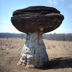
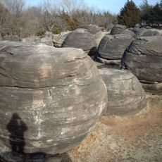
The county name comes from the Saline River, which holds natural salt deposits that attracted early settlers and shaped where they built their first communities. These geological features once provided an economic advantage for the region's pioneers.

Location
Inception
February 15, 1860
Capital city
Salina
Shares border with
Ottawa County, McPherson County, Dickinson County, Marion County, Lincoln County, Ellsworth County
GPS coordinates
38.78330,-97.66670
Latest update
December 7, 2025 20:43

AroundUs brings together thousands of curated places, local tips, and hidden gems, enriched daily by 60,000 contributors worldwide. Discover all places nearby (Kansas).

Around this place
Mushroom Rock State Park
United States of America

Mushroom Rock State Park

32.2 km
Rock City, Kansas
United States of America

Rock City, Kansas

34.8 km
Kanopolis State Park
United States of America

Kanopolis State Park

32.1 km
Lebold Mansion
United States of America

Lebold Mansion

41.2 km
Atchison, Topeka and Santa Fe Railway 3415
United States of America

Atchison, Topeka and Santa Fe Railway 3415

41.2 km
Rolling Hills Zoo
United States of America

Rolling Hills Zoo

11.5 km
Whiteford Archeological Site
United States of America

Whiteford Archeological Site

14.7 km
Sacred Heart Cathedral
United States of America

Sacred Heart Cathedral

8 km
Daimaru
United States of America

Daimaru

4.8 km
Christ Cathedral
United States of America

Christ Cathedral

7.8 km
Masonic Temple
United States of America

Masonic Temple

7.6 km
Kansas Motorcycle Museum
United States of America

Kansas Motorcycle Museum

29.3 km
Salina Stadium
United States of America

Salina Stadium

6.2 km
Swedish Pavilion
United States of America

Swedish Pavilion

24.1 km
Stiefel Theatre for the Performing Arts
United States of America

Stiefel Theatre for the Performing Arts

7.9 km
Hans Hanson House
United States of America

Hans Hanson House

29 km
Farmers State Bank
United States of America

Farmers State Bank

23.4 km
Kenwood Cove Water Park
United States of America

Kenwood Cove Water Park

7.9 km
Johnson House
United States of America

Johnson House

22.6 km
Smoky Valley Roller Mill
United States of America

Smoky Valley Roller Mill

24.1 km
United States of America

Rosberg-Holmgren-Clareen Block

23.3 km
United States of America

Berquist & Nelson Drugstore Building

23.3 km
Teichgraeber–Runbeck House
United States of America

Teichgraeber–Runbeck House

24.2 km
The Museum at Rolling Hills Zoo
United States of America

The Museum at Rolling Hills Zoo

11.3 km
Jumpin' Joe's Family Fun Center
United States of America

Jumpin' Joe's Family Fun Center

4 km
Eliason Barn
United States of America

Eliason Barn

28.6 km
Lakewood Park Bridge
United States of America

Lakewood Park Bridge

9.3 km
Hobbs Creek Bridge
United States of America

Hobbs Creek Bridge

29.4 km
Show the full map
Administrative divisions
« Saline County - Administrative county in central Kansas, United States » is provided by Around Us (aroundus.com). Images and texts are derived from Wikimedia project under a Creative Commons license. You are allowed to copy, distribute, and modify copies of this page, under the conditions set by the license, as long as this note is clearly visible.

Discover hidden gems everywhere you go!

From secret cafés to breathtaking viewpoints, skip the crowded tourist spots and find places that match your style. Our app makes it easy with voice search, smart filtering, route optimization, and insider tips from travelers worldwide. Download now for the complete mobile experience.

Around Us App Screenshot

A unique approach to discovering new places

Le Figaro

All the places worth exploring

France Info

A tailor-made excursion in just a few clicks

20 Minutes

Around Us
Travel Guide & Maps
Download

Send to your phone

QR Code
1

Open the camera app on your mobile.

2

Point at the QR code with your camera. A notification will appear.

3

Tap the notification to open the link.