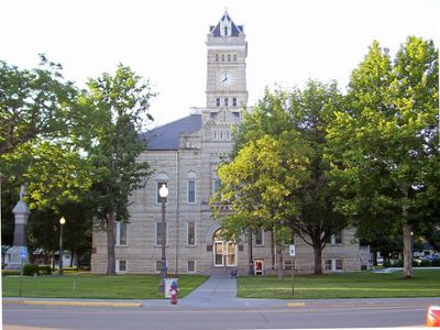
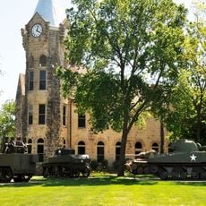
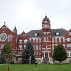
Clay County, County in Kansas, United States.
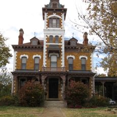
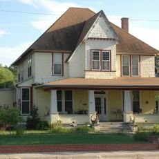
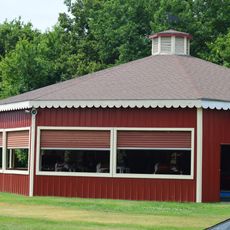
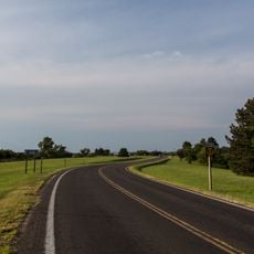
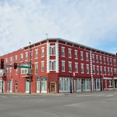
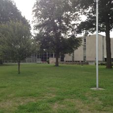
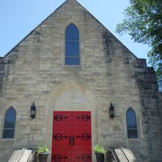
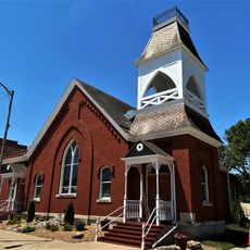
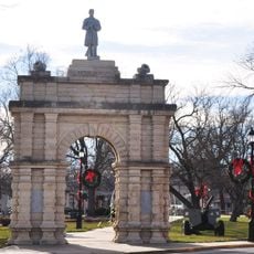
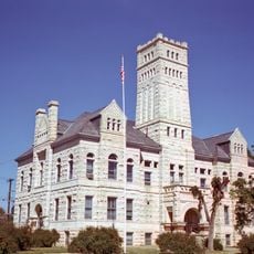
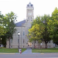
Clay County is an administrative region in northeastern Kansas with Clay Center serving as its main town. The area contains agricultural land and smaller communities distributed across its territory.
The county was established in 1857 and named after American politician Henry Clay, who served for many years in Congress. This founding was part of the settlement of the American Midwest.
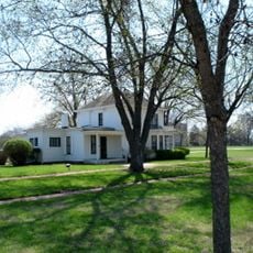
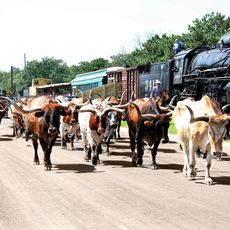
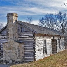
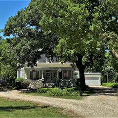
Agriculture shapes the identity here, with farming families passing down knowledge and practices across generations in this rural landscape. The way people live and work reflects their deep connection to the land and its seasonal rhythms.
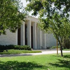
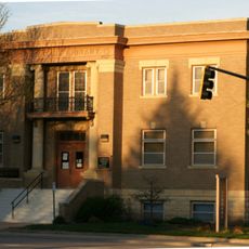
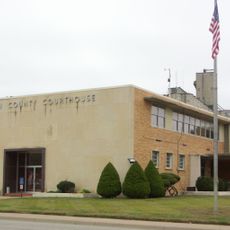
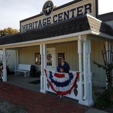
The county services office in Clay Center provides information on property and administrative matters for visitors and residents. The official website www.cckansas.org offers online resources and additional details.
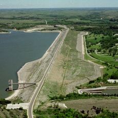
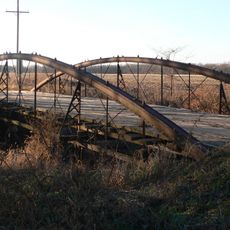
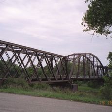
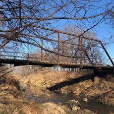
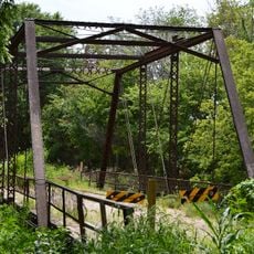
Water bodies spread across about 3,000 hectares throughout the region, providing essential resources for farming and creating natural habitats. These waterways are woven into the landscape in a way many visitors overlook when thinking of the area.
The community of curious travelers
AroundUs brings together thousands of curated places, local tips, and hidden gems, enriched daily by 60,000 contributors worldwide.