Brown County

Log in to your account

AroundUs is a community-driven map of interesting places, built by curious explorers like you. It grows with every review, story, and photo you share.
Connect to save your favorite spots, contribute locations, and create personalized routes.
Continue with Google
Continue with Apple
Continue with X
Continue with Facebook
Continue with email
By continuing, you accept our Terms and Conditions and our Privacy Policy
Create an account
Add to collection
Map
Suggest a change
Share

Brown County, Administrative county in northeastern Kansas, United States

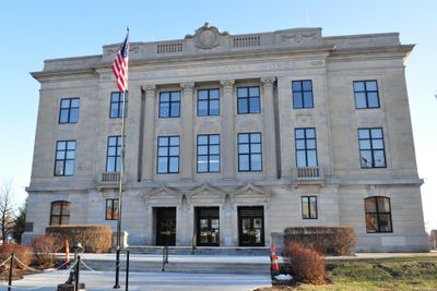
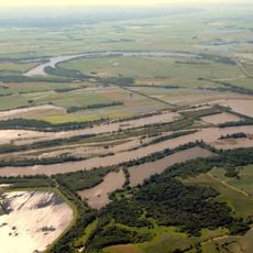
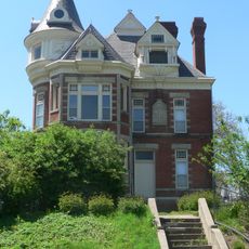
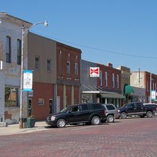
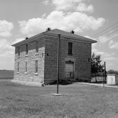
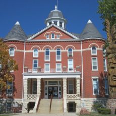
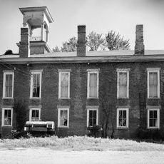
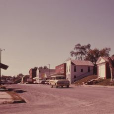
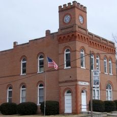
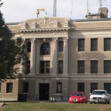
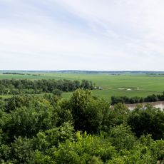
Brown County spans roughly 572 square miles of rural landscape where the Wolf River flows through agricultural lands. Hiawatha serves as the governmental center, home to the courthouse and administrative offices that handle county operations.

Established in 1855, this county was named after Albert G. Brown, a United States Senator from Mississippi who backed Kansas statehood. The naming reflected political ties connecting eastern leaders to the expanding western territories.

The land is home to three active tribal reservations - the Kickapoo, Sac and Fox, and Iowa nations - whose presence shapes community life across the region.

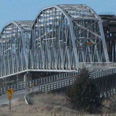
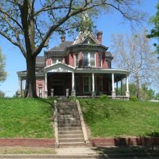
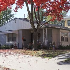
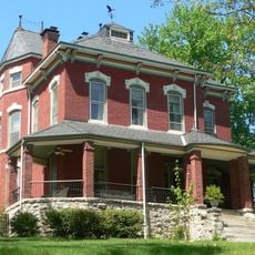
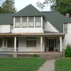
Services and facilities are distributed across several communities throughout the region, making them accessible to visitors. Exploring the area works well by car or on foot, with roads passing through open countryside.

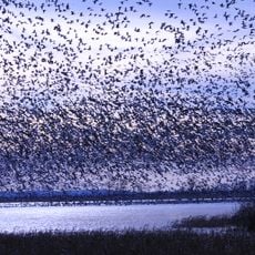
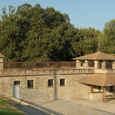
Brown State Fishing Lake sits east of Hiawatha and offers fishing and recreation throughout the year. The lake draws locals seeking water activities and time in open nature.

Location: Kansas

Inception: August 30, 1855

Capital city: Hiawatha

Shares border with: Richardson County, Doniphan County, Atchison County, Jackson County, Nemaha County

Website: http://brcoks.org

GPS coordinates: 39.80000,-95.58330

Latest update: December 10, 2025 15:52

Photos
Around this place
Indian Cave State Park
United States of America

Indian Cave State Park

50.5 km
Loess Bluffs National Wildlife Refuge
United States of America

Loess Bluffs National Wildlife Refuge

42.7 km
Big Lake State Park
United States of America

Big Lake State Park

37.7 km
Rulo Bridge
United States of America

Rulo Bridge

31.5 km
McInteer Villa
United States of America

McInteer Villa

46.7 km
Davis Memorial
United States of America

Davis Memorial

7.9 km
Larry Wilcox Stadium
United States of America

Larry Wilcox Stadium

47.3 km
Site No. RH00-062
United States of America

Site No. RH00-062

30.9 km
Doniphan County Courthouse Square Historic District
United States of America

Doniphan County Courthouse Square Historic District

42.3 km
Rulo Rail Bridge
United States of America

Rulo Rail Bridge

31.5 km
St. Mary's Church
United States of America

St. Mary's Church

45 km
Ebenezer Baptist Church
United States of America

Ebenezer Baptist Church

47 km
Old Albany Schoolhouse
United States of America

Old Albany Schoolhouse

24.6 km
Itha T. Krumme Memorial Arboretum
United States of America

Itha T. Krumme Memorial Arboretum

30.1 km
Doniphan County Courthouse
United States of America

Doniphan County Courthouse

42.3 km
Irvin Hall
United States of America

Irvin Hall

27.6 km
White Cloud Historic District
United States of America

White Cloud Historic District

31.3 km
A. J. Harwi House
United States of America

A. J. Harwi House

46.8 km
McFadden House
United States of America

McFadden House

39.6 km
City Hall
United States of America

City Hall

39.2 km
Richardson County Courthouse
United States of America

Richardson County Courthouse

29.2 km
Gehling's Theatre
United States of America

Gehling's Theatre

29 km
Edgar W. Howe House
United States of America

Edgar W. Howe House

47.2 km
Holton Bath House
United States of America

Holton Bath House

39.7 km
United States of America

Lake Nemaha Dam Guardrail

38.8 km
Gov. Arthur J. Weaver House
United States of America

Gov. Arthur J. Weaver House

29.4 km
Four State Lookout
United States of America

Four State Lookout

31.4 km
Amelia Earhart Hangar Museum
United States of America

Amelia Earhart Hangar Museum

43.2 km
Show the full map
Reviews

Visited this place? Tap the stars to rate it and share your experience / photos with the community! Try now! You can cancel it anytime.

« Brown County - Administrative county in northeastern Kansas, United States » is provided by Around Us (aroundus.com). Images and texts are derived from Wikimedia project under a Creative Commons license. You are allowed to copy, distribute, and modify copies of this page, under the conditions set by the license, as long as this note is clearly visible.

Discover hidden gems everywhere you go!

From secret cafés to breathtaking viewpoints, skip the crowded tourist spots and find places that match your style. Our app makes it easy with voice search, smart filtering, route optimization, and insider tips from travelers worldwide. Download now for the complete mobile experience.

Around Us App Screenshot

A unique approach to discovering new places

Le Figaro

All the places worth exploring

France Info

A tailor-made excursion in just a few clicks

20 Minutes