Mitchell County

Log in to your account

AroundUs is a community-driven map of interesting places, built by curious explorers like you. It grows with every review, story, and photo you share.
Connect to save your favorite spots, contribute locations, and create personalized routes.
Continue with Google
Continue with Apple
Continue with X
Continue with Facebook
Continue with email
By continuing, you accept our Terms and Conditions and our Privacy Policy
Create an account
Add to collection
Map
Suggest a change
Share

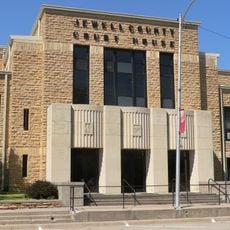
Mitchell County, County in Kansas, United States.

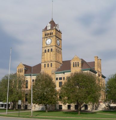
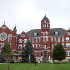
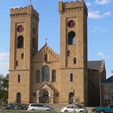
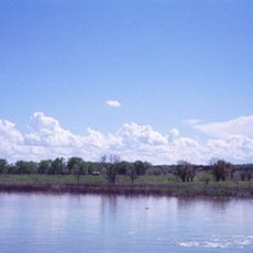
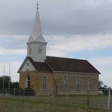
Mitchell County is an administrative region in north-central Kansas with Beloit serving as its center. The area contains several small towns and communities spread across flat terrain typical of the Great Plains.

The area came under United States control following the Louisiana Purchase in 1803. The county was officially established in 1867 as settlement expanded westward during the period after the Civil War.

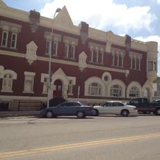
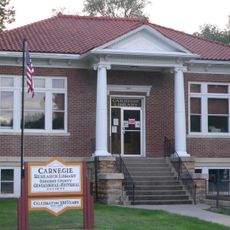
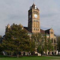
The Mitchell County Museum in Beloit holds regional items that tell the story of how communities in this area grew and changed over time. Visitors can see objects from settlers' lives and learn about what people valued in their daily routines.

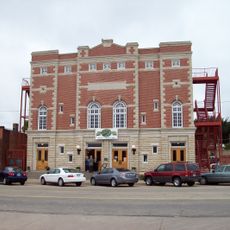
The region is easy to reach by car since main roads are well developed. Beloit offers basic services and facilities for visitors who want to explore the rural area.

For many decades this county did not allow alcohol sales until residents voted to change the rule in 1996. The vote reflected a shift in how the community wanted to manage local businesses and social customs.

Location: Kansas

Inception: February 26, 1867

Capital city: Beloit

Shares border with: Jewell County, Lincoln County, Cloud County, Ottawa County, Osborne County

Website: http://mcks.org

GPS coordinates: 39.40000,-98.20000

Latest update: December 10, 2025 15:47

Photos
Around this place
Geographic center of the contiguous United States
United States of America

Geographic center of the contiguous United States

57.7 km
Rock City, Kansas
United States of America

Rock City, Kansas

52.8 km
Meades Ranch Triangulation Station
United States of America

Meades Ranch Triangulation Station

35.4 km
United States of America

Waconda Lake

18 km
Nazareth Convent and Academy
United States of America

Nazareth Convent and Academy

49.8 km
Brown Grand Theatre
United States of America

Brown Grand Theatre

49.9 km
St. John the Baptist Catholic Church
United States of America

St. John the Baptist Catholic Church

10.6 km
Pott's Ford Bridge
United States of America

Pott's Ford Bridge

30.3 km
Jamestown (Kansas) Wildlife Area
United States of America

Jamestown (Kansas) Wildlife Area

39 km
Bankers Loan and Trust Company Building
United States of America

Bankers Loan and Trust Company Building

50.3 km
Jewell County Courthouse
United States of America

Jewell County Courthouse

43.2 km
Cloud County Courthouse
United States of America

Cloud County Courthouse

50.1 km
Cloud County Veterans Memorial
United States of America

Cloud County Veterans Memorial

50 km
Burr Oak United Methodist Church
United States of America

Burr Oak United Methodist Church

53 km
Mitchell County Courthouse
United States of America

Mitchell County Courthouse

10.2 km
Glasco Downtown Historic District
United States of America

Glasco Downtown Historic District

31.3 km
Danske Evangelist Lutheran Kirke
United States of America

Danske Evangelist Lutheran Kirke

35.2 km
Old Cawker City Library
United States of America

Old Cawker City Library

23.5 km
Downs Carnegie Library
United States of America

Downs Carnegie Library

31.6 km
Lincoln County Courthouse
United States of America

Lincoln County Courthouse

40.3 km
Osborne Public Carnegie Library
United States of America

Osborne Public Carnegie Library

43.1 km
Cummins Block Building
United States of America

Cummins Block Building

40.3 km
Samuel P. Dinsmoor's Garden of Eden
United States of America

Samuel P. Dinsmoor's Garden of Eden

47.8 km
Salt Creek Bridge
United States of America

Salt Creek Bridge

25.3 km
Spring Creek Tributary Bridge
United States of America

Spring Creek Tributary Bridge

54.8 km
O.W. Francis House
United States of America

O.W. Francis House

54.3 km
Bullfoot Creek Bridge
United States of America

Bullfoot Creek Bridge

47.8 km
Lincoln Public Pool
United States of America

Lincoln Public Pool

40.3 km
Show the full map
Reviews

Visited this place? Tap the stars to rate it and share your experience / photos with the community! Try now! You can cancel it anytime.

Administrative divisions
« Mitchell County - County in Kansas, United States » is provided by Around Us (aroundus.com). Images and texts are derived from Wikimedia project under a Creative Commons license. You are allowed to copy, distribute, and modify copies of this page, under the conditions set by the license, as long as this note is clearly visible.

Discover hidden gems everywhere you go!

From secret cafés to breathtaking viewpoints, skip the crowded tourist spots and find places that match your style. Our app makes it easy with voice search, smart filtering, route optimization, and insider tips from travelers worldwide. Download now for the complete mobile experience.

Around Us App Screenshot

A unique approach to discovering new places

Le Figaro

All the places worth exploring

France Info

A tailor-made excursion in just a few clicks

20 Minutes