Enable Location

We need your location to show you interesting places around you

Discover nearby places

Find interesting locations and hidden gems around you

Precise directions

Get accurate directions and distances to places

Your location is never shared with other users. It's only used when you tap the location button.

Greene County

Log in to your account

Start exploring — it's free

Trusted by 62,171 travelers worldwide

Continue with Google
Continue with Apple
or

We will send you a code to connect

By continuing, you accept our Terms and Conditions and our Privacy Policy

Check your inbox

We've sent a pincode in your inbox. Please enter the code below.

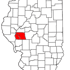
Greene County, Administrative division in western Illinois, United States

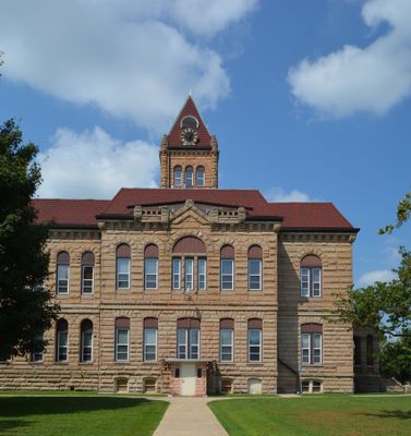
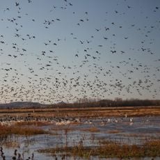
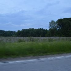
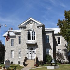
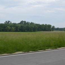
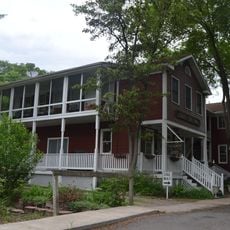
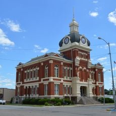
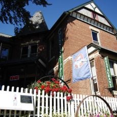
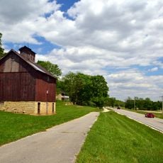
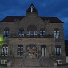
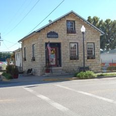
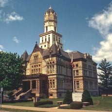
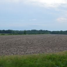
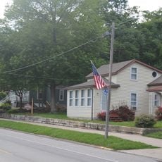
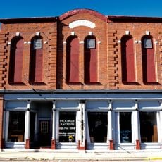
Greene County is an administrative division in western Illinois with agricultural land, small towns, and the Illinois River running along its western edge. The county seat of Carrollton houses the main courthouse and government offices that serve the local area.

The county was established in 1821 and named after Nathanael Greene, a general from the American Revolutionary War. Several other counties were later created from land that originally belonged to this area.

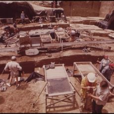
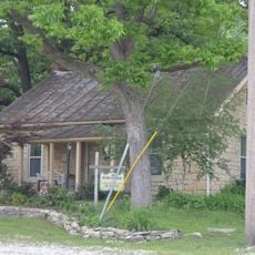
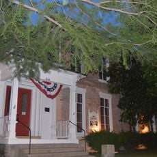
The land holds archaeological sites that reveal how different groups of people lived and settled here over thousands of years. These places help visitors understand the deeper roots of the region and its long human story.

Visitors can reach Carrollton, where main services and information are available, and explore the different towns and historical sites from there. The warmer months are best for exploring, as roads and paths are easiest to navigate.

The area experienced significant changes in its boundaries as portions were separated to form new counties over a relatively short period. This pattern shows how the political map of this part of the state shifted and evolved in its early years.

The community of curious travelers

AroundUs brings together thousands of curated places, local tips, and hidden gems, enriched daily by 60,000 contributors worldwide.

Start exploring
Location
Inception
1821
Capital city
Carrollton
Shares border with
Scott County, Jersey County, Calhoun County, Morgan County, Macoupin County, Pike County
GPS coordinates
39.35000,-90.39000
Latest update
December 7, 2025 20:20
Around this place
Koster Site
United States of America

Koster Site

20.9 km
Goldenrod
United States of America

Goldenrod

19.8 km
Two Rivers National Wildlife Refuge
United States of America

Two Rivers National Wildlife Refuge

39.1 km
Beaver Dam State Park
United States of America

Beaver Dam State Park

38.9 km
Clarence Cannon National Wildlife Refuge
United States of America

Clarence Cannon National Wildlife Refuge

35.2 km
Kamp Mound Site
United States of America

Kamp Mound Site

20 km
Hamilton Primary School
United States of America

Hamilton Primary School

33.3 km
Duncan Farm
United States of America

Duncan Farm

43.8 km
Jacksonville, Illinois micropolitan area
United States of America

Jacksonville, Illinois micropolitan area

35.6 km
Jersey County Courthouse
United States of America

Jersey County Courthouse

26.3 km
Elsah Historic District
United States of America

Elsah Historic District

44.1 km
Winchester Historic District
United States of America

Winchester Historic District

31.5 km
Paris Mason Building
United States of America

Paris Mason Building

42.5 km
Charles Brainerd House
United States of America

Charles Brainerd House

42.2 km
Hodges House
United States of America

Hodges House

6.1 km
Smith-Duncan House and Eastman Barn
United States of America

Smith-Duncan House and Eastman Barn

43.7 km
Scott County Courthouse
United States of America

Scott County Courthouse

31.5 km
Carrollton Courthouse Square Historic District
United States of America

Carrollton Courthouse Square Historic District

6.1 km
Slaten-LaMarsh House
United States of America

Slaten-LaMarsh House

42.5 km
Jerseyville Downtown Historic District
United States of America

Jerseyville Downtown Historic District

26.3 km
Black Homestead Farm
United States of America

Black Homestead Farm

7.8 km
Schudel No. 2 Site
United States of America

Schudel No. 2 Site

33.4 km
Grafton Historic District
United States of America

Grafton Historic District

42.5 km
Grafton Bank
United States of America

Grafton Bank

42.5 km
John and Amelia McClintock House
United States of America

John and Amelia McClintock House

42.5 km
United States of America

Virginia Tillery Round Barn

11.1 km
White Hall Historic District
United States of America

White Hall Historic District

9.7 km
Michael Klunk Farmstead
United States of America

Michael Klunk Farmstead

23.7 km
Show the full map
« Greene County - Administrative division in western Illinois, United States » is provided by Around Us (aroundus.com). Images and texts are derived from Wikimedia project under a Creative Commons license. You are allowed to copy, distribute, and modify copies of this page, under the conditions set by the license, as long as this note is clearly visible.

Discover hidden gems everywhere you go!

From secret cafés to breathtaking viewpoints, skip the crowded tourist spots and find places that match your style. Our app makes it easy with voice search, smart filtering, route optimization, and insider tips from travelers worldwide. Download now for the complete mobile experience.

Around Us App Screenshot

A unique approach to discovering new places

Le Figaro

All the places worth exploring

France Info

A tailor-made excursion in just a few clicks

20 Minutes

Around Us
Travel Guide & Maps
Download

Send to your phone

QR Code
1

Open the camera app on your mobile.

2

Point at the QR code with your camera. A notification will appear.

3

Tap the notification to open the link.