Enable Location

We need your location to show you interesting places around you

Discover nearby places

Find interesting locations and hidden gems around you

Precise directions

Get accurate directions and distances to places

Your location is never shared with other users. It's only used when you tap the location button.

Dunklin County

Log in to your account

Start exploring — it's free

Trusted by 61,900 travelers worldwide

Continue with Google
Continue with Apple
or

We will send you a code to connect

By continuing, you accept our Terms and Conditions and our Privacy Policy

Check your inbox

We've sent a pincode in your inbox. Please enter the code below.

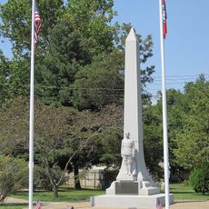
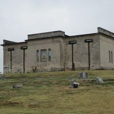
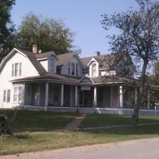
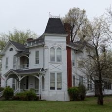
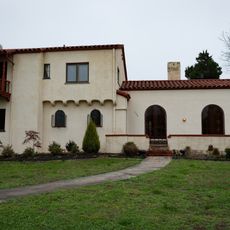
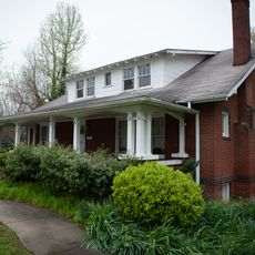
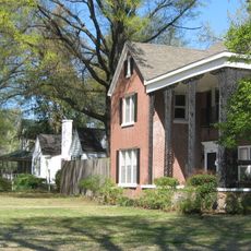
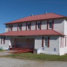
Dunklin County, County in southeastern Missouri, United States.

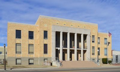
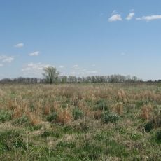
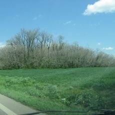
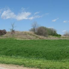
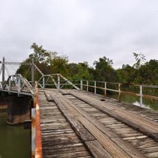
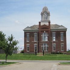
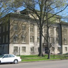
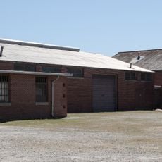
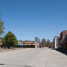
Dunklin County is located in Missouri's Bootheel region, extending across flat farmland with the St. Francis River forming its southwestern boundary. The county remains sparsely populated, with Kennett serving as the county seat.

The county was established in 1845 and named after Daniel Dunklin, a former Missouri governor. Over time it became an agricultural and drainage area shaped by its proximity to the Mississippi Delta region.

Southern Baptist churches form the primary religious institutions across Dunklin County, with multiple congregations holding weekly services throughout the region.

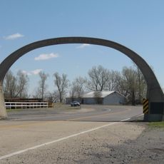
The area is accessed primarily through local roads, with Kennett serving as the administrative center. Visitors should expect longer travel times between settlements and plan ahead for services in this rural region.

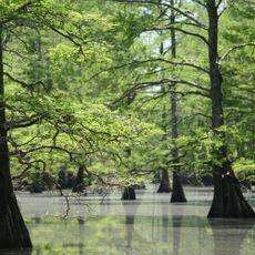
The lowest elevation point in Missouri sits within Dunklin County, where the St. Francis River crosses from Missouri into Arkansas.

The community of curious travelers

AroundUs brings together thousands of curated places, local tips, and hidden gems, enriched daily by 60,000 contributors worldwide.

Start exploring
Location
Inception
February 14, 1845
Capital city
Kennett
Shares border with
Stoddard County, New Madrid County, Pemiscot County, Mississippi County, Craighead County, Greene County, Clay County, Butler County
GPS coordinates
36.27000,-90.09000
Latest update
December 7, 2025 19:27
Around this place
Big Lake National Wildlife Refuge
United States of America

Big Lake National Wildlife Refuge

39.4 km
Pfeiffer House and Carriage House
United States of America

Pfeiffer House and Carriage House

16.1 km
Eaker Site
United States of America

Eaker Site

36.9 km
Murphy Mound Archeological Site
United States of America

Murphy Mound Archeological Site

37.9 km
Paragould meteorite
United States of America

Paragould meteorite

49.4 km
Campbell Archeological Site
United States of America

Campbell Archeological Site

36.3 km
United States Highway 61 Arch
United States of America

United States Highway 61 Arch

34.7 km
Herman Davis State Park
United States of America

Herman Davis State Park

44.7 km
Morris State Park
United States of America

Morris State Park

31.8 km
Hargrove Pivot Bridge
United States of America

Hargrove Pivot Bridge

46 km
Greene County Courthouse
United States of America

Greene County Courthouse

43 km
National Bank of Commerce Building (Paragould, Arkansas)
United States of America

National Bank of Commerce Building (Paragould, Arkansas)

42.9 km
Mississippi County Courthouse
United States of America

Mississippi County Courthouse

41.5 km
Paragould War Memorial
United States of America

Paragould War Memorial

43 km
Caruthersville Water Tower
United States of America

Caruthersville Water Tower

39.7 km
Sheeks House
United States of America

Sheeks House

46.8 km
Linwood Mausoleum
United States of America

Linwood Mausoleum

44.4 km
Oliver House
United States of America

Oliver House

46.5 km
Jackson-Herget House
United States of America

Jackson-Herget House

43.2 km
Charles and Bettie Birthright House
United States of America

Charles and Bettie Birthright House

22.9 km
Beisel-Mitchell House
United States of America

Beisel-Mitchell House

43.2 km
Highfill-McClure House
United States of America

Highfill-McClure House

43.3 km
West Main Street Residential Historic District
United States of America

West Main Street Residential Historic District

41.3 km
Knob School
United States of America

Knob School

32.3 km
Piggott National Guard Armory
United States of America

Piggott National Guard Armory

15 km
Piggott Commercial Historic District
United States of America

Piggott Commercial Historic District

15.5 km
Clay County Courthouse, Western District
United States of America

Clay County Courthouse, Western District

46.8 km
Clay County Courthouse, Eastern District
United States of America

Clay County Courthouse, Eastern District

15.5 km
Show the full map
Administrative divisions
« Dunklin County - County in southeastern Missouri, United States » is provided by Around Us (aroundus.com). Images and texts are derived from Wikimedia project under a Creative Commons license. You are allowed to copy, distribute, and modify copies of this page, under the conditions set by the license, as long as this note is clearly visible.

Discover hidden gems everywhere you go!

From secret cafés to breathtaking viewpoints, skip the crowded tourist spots and find places that match your style. Our app makes it easy with voice search, smart filtering, route optimization, and insider tips from travelers worldwide. Download now for the complete mobile experience.

Around Us App Screenshot

A unique approach to discovering new places

Le Figaro

All the places worth exploring

France Info

A tailor-made excursion in just a few clicks

20 Minutes

Around Us
Travel Guide & Maps
Download

Send to your phone

QR Code
1

Open the camera app on your mobile.

2

Point at the QR code with your camera. A notification will appear.

3

Tap the notification to open the link.