
Langdon, town in Sullivan County, New Hampshire, United States
Location: Sullivan County
Inception: 1787
Elevation above the sea: 206 m
Website: http://langdonnh.org
GPS coordinates: 43.16667,-72.38028
Latest update: March 4, 2025 15:08

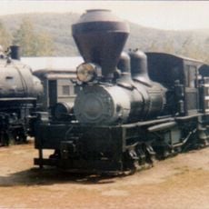
Steamtown, U.S.A.
6.8 km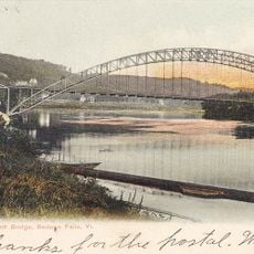
Arch Bridge
6.4 km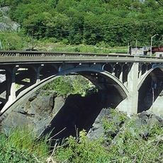
Vilas Bridge
6 km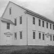
Rockingham Meeting House
9 km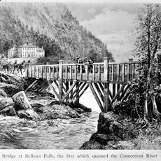
Great Falls
5.9 km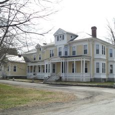
Drewsville Mansion
4.6 km
Bellows Falls Times Building
6.2 km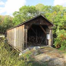
Cold River Bridge
2.8 km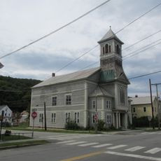
Bellows Falls Neighborhood Historic District
6.8 km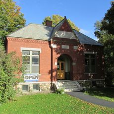
Acworth Silsby Library
9.2 km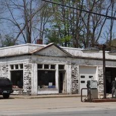
Gas Station at Bridge and Island Streets
6.1 km
Adams Gristmill Warehouse
7.2 km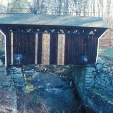
Prentiss Bridge
1.9 km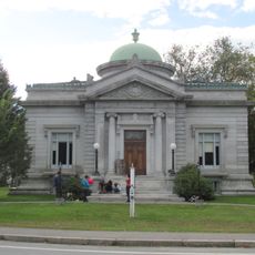
Shedd-Porter Memorial Library
2.5 km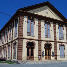
Charlestown Town Hall
7.9 km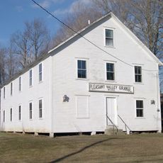
Rockingham Village Historic District
9.1 km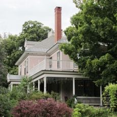
William A. Hall House
6.7 km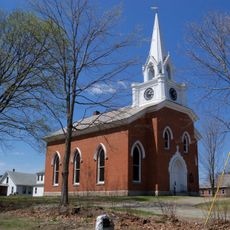
Charlestown Main Street Historic District
8.5 km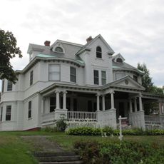
Westminster Terrace Historic District
6.8 km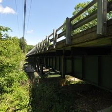
Williams River Route 5 Bridge
6.7 km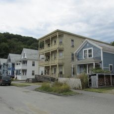
Williams Street Extension Historic District
6.8 km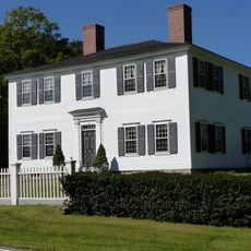
Hutchinson House
6.4 km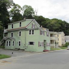
George-Pine-Henry Street Historic District
6.9 km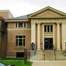
Rockingham Free Public Library
6.6 km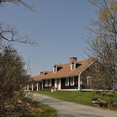
Jewett-Kemp-Marlens House
7.1 km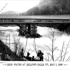
Tucker Toll Covered Bridge
6 km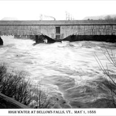
Cheshire Railroad Connecticut River Covered Bridge
6 km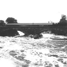
GMRC Bellows Falls Stone Arch Bridge
6 kmReviews
Visited this place? Tap the stars to rate it and share your experience / photos with the community! Try now! You can cancel it anytime.
Discover hidden gems everywhere you go!
From secret cafés to breathtaking viewpoints, skip the crowded tourist spots and find places that match your style. Our app makes it easy with voice search, smart filtering, route optimization, and insider tips from travelers worldwide. Download now for the complete mobile experience.

A unique approach to discovering new places❞
— Le Figaro
All the places worth exploring❞
— France Info
A tailor-made excursion in just a few clicks❞
— 20 Minutes