Enable Location

We need your location to show you interesting places around you

Discover nearby places

Find interesting locations and hidden gems around you

Precise directions

Get accurate directions and distances to places

Your location is never shared with other users. It's only used when you tap the location button.

Sullivan County

Log in to your account

Start exploring — it's free

Trusted by 61,907 travelers worldwide

Continue with Google
Continue with Apple
or

We will send you a code to connect

By continuing, you accept our Terms and Conditions and our Privacy Policy

Check your inbox

We've sent a pincode in your inbox. Please enter the code below.

Sullivan County, Administrative county in southwestern New Hampshire, United States.

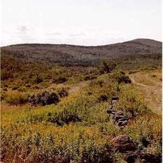
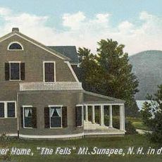
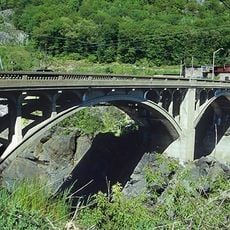
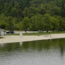
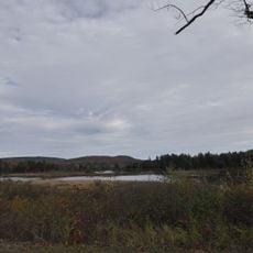
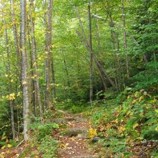
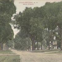
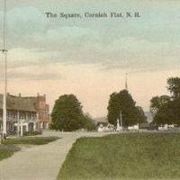
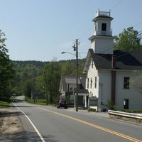
Sullivan County is an administrative division in southwestern New Hampshire that encompasses hilly terrain with mountain ranges and multiple lakes throughout the region. The county is made up of fifteen towns, with Newport serving as the main administrative center.

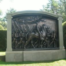
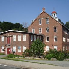
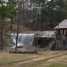
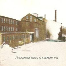
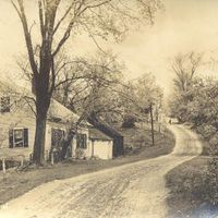
The county was established in 1827 and named after John Sullivan, a military officer who commanded forces during the American Revolutionary War. Following its creation, the region grew as an agricultural area and later developed along important trade routes.

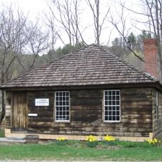
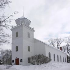
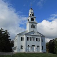
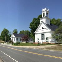
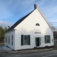
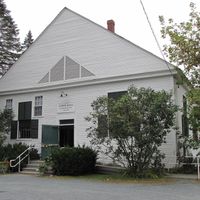
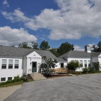
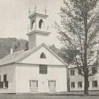
Each town in the county maintains its own traditions reflected in the way residents gather at local markets and community events throughout the year. These celebrations bring neighbors together and show how people have shaped their communities over generations.

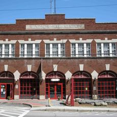
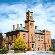
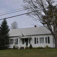
Newport is home to the County Commissioner's Office where visitors can find information about public services and administrative matters for the region. The area is accessible by car, and small towns scattered throughout offer basic services and supplies.

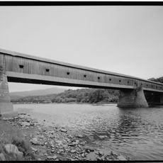
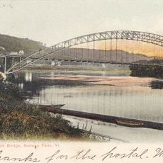
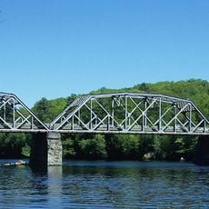
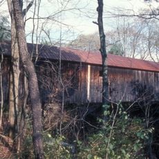
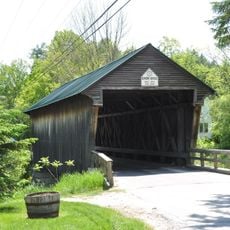
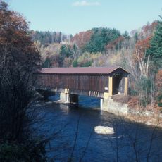
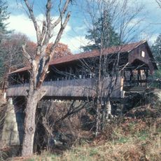
The Cornish-Windsor Bridge crosses the Connecticut River and remains one of the longest covered wooden bridges still in use, displaying 19th-century engineering craftsmanship. Visitors can walk across this structure and appreciate the construction methods that have kept it standing for over 150 years.

The community of curious travelers

AroundUs brings together thousands of curated places, local tips, and hidden gems, enriched daily by 60,000 contributors worldwide.

Start exploring
Location
Inception
1827
Capital city
Newport
Shares border with
Windham County, Windsor County, Grafton County, Merrimack County, Hillsborough County, Cheshire County
GPS coordinates
43.34421,-72.24733
Latest update
December 7, 2025 19:27
Around this place
Juniper Hill Farm-Maxwell Evarts House
United States of America

Juniper Hill Farm-Maxwell Evarts House

20.3 km
Steamtown, U.S.A.
United States of America

Steamtown, U.S.A.

28.7 km
Cornish–Windsor Covered Bridge
United States of America

Cornish–Windsor Covered Bridge

18.2 km
Fort at Number 4
United States of America

Fort at Number 4

18 km
Saint-Gaudens National Historical Park
United States of America

Saint-Gaudens National Historical Park

20 km
American Precision Museum
United States of America

American Precision Museum

18.5 km
Monadnock-Sunapee Greenway
United States of America

Monadnock-Sunapee Greenway

17.9 km
Arch Bridge
United States of America

Arch Bridge

28.2 km
The Fells
United States of America

The Fells

16.3 km
Vilas Bridge
United States of America

Vilas Bridge

28 km
Mount Sunapee State Park
United States of America

Mount Sunapee State Park

15 km
Cheshire Bridge
United States of America

Cheshire Bridge

17.3 km
Pillsbury State Park
United States of America

Pillsbury State Park

17.4 km
Ascutney Mill Dam
United States of America

Ascutney Mill Dam

19 km
United States of America

Great Falls

28 km
Blow-Me-Down Covered Bridge
United States of America

Blow-Me-Down Covered Bridge

21.8 km
Salmon P. Chase Birthplace
United States of America

Salmon P. Chase Birthplace

16.7 km
Cornish Colony Museum
United States of America

Cornish Colony Museum

18.7 km
Eureka Schoolhouse
United States of America

Eureka Schoolhouse

18.5 km
Bement Covered Bridge
United States of America

Bement Covered Bridge

25.4 km
Ascutney State Park
United States of America

Ascutney State Park

19 km
Monadnock Mills
United States of America

Monadnock Mills

8.1 km
Claremont City Hall
United States of America

Claremont City Hall

7.9 km
Union Episcopal Church
United States of America

Union Episcopal Church

11 km
Pier Bridge
United States of America

Pier Bridge

2 km
Pike House
United States of America

Pike House

9.4 km
Dingleton Hill Covered Bridge
United States of America

Dingleton Hill Covered Bridge

16.6 km
Bellows Falls Times Building
United States of America

Bellows Falls Times Building

28.2 km
Show the full map
« Sullivan County - Administrative county in southwestern New Hampshire, United States » is provided by Around Us (aroundus.com). Images and texts are derived from Wikimedia project under a Creative Commons license. You are allowed to copy, distribute, and modify copies of this page, under the conditions set by the license, as long as this note is clearly visible.

Discover hidden gems everywhere you go!

From secret cafés to breathtaking viewpoints, skip the crowded tourist spots and find places that match your style. Our app makes it easy with voice search, smart filtering, route optimization, and insider tips from travelers worldwide. Download now for the complete mobile experience.

Around Us App Screenshot

A unique approach to discovering new places

Le Figaro

All the places worth exploring

France Info

A tailor-made excursion in just a few clicks

20 Minutes

Around Us
Travel Guide & Maps
Download

Send to your phone

QR Code
1

Open the camera app on your mobile.

2

Point at the QR code with your camera. A notification will appear.

3

Tap the notification to open the link.