Claremont

Log in to your account

AroundUs is a community-driven map of interesting places, built by curious explorers like you. It grows with every review, story, and photo you share.
Connect to save your favorite spots, contribute locations, and create personalized routes.
By continuing, you accept our Terms and Conditions and our Privacy Policy
Add to collection
Map
Suggest a change
Share

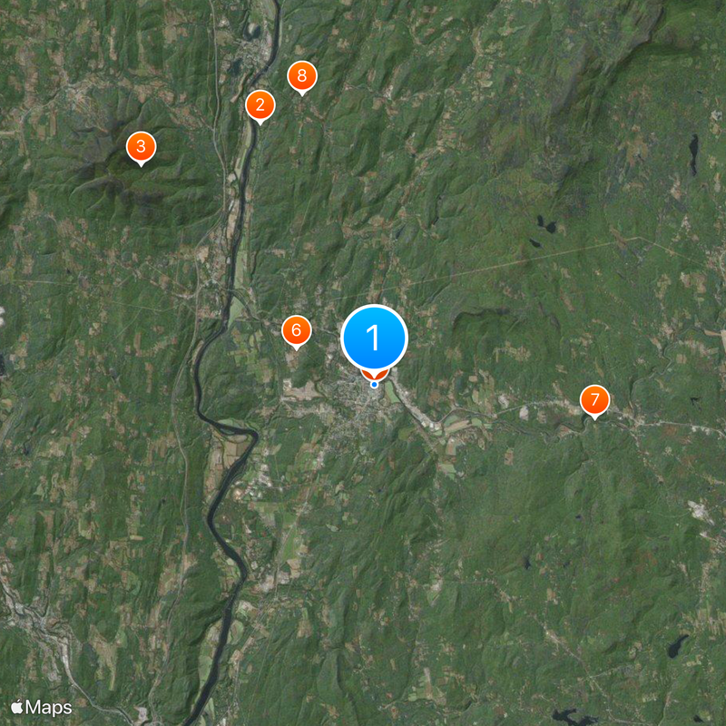
Claremont, Industrial city in Sullivan County, New Hampshire.

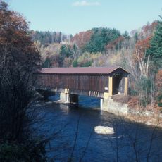
Claremont is a city in Sullivan County, New Hampshire, situated between two rivers at an elevation of about 171 meters (560 feet). The town's layout follows these waterways, which shape its geography and have long influenced where people settle and work.

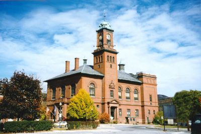
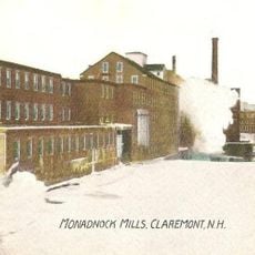
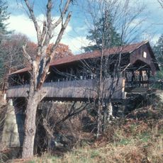
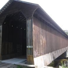
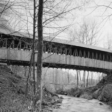
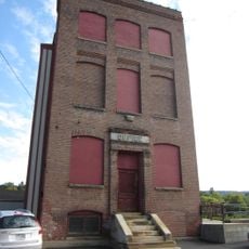
The settlement began in 1762 and grew into a manufacturing hub during the Industrial Revolution, when mills powered by the Sugar River became central to the economy. This period of factory growth shaped the community's identity and physical landscape.

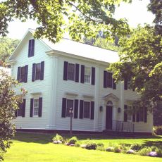
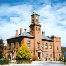
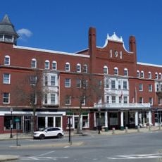
The Opera House and Broad Street Park serve as gathering places where performances and community events happen throughout the year. These spaces reflect how residents connect with their shared past and celebrate local traditions.

The local airport and multiple state routes provide connections to nearby areas throughout New Hampshire and Vermont. Visitors can reach the city easily from surrounding regions without needing to travel through major highways.

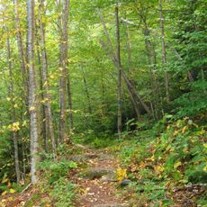
The Hunter Site reveals archaeological evidence of indigenous settlements by the Pennacook and Western Abenaki peoples long before Europeans arrived in the region. This discovery shows that the area supported communities well before the town's establishment.

Location: Sullivan County

Inception: 1762

Elevation above the sea: 171 m

Website: http://claremontnh.com

GPS coordinates: 43.37220,-72.33750

Latest update: December 12, 2025 22:20

Photos
Around this place
Salmon P. Chase Birthplace
United States of America

Salmon P. Chase Birthplace

10.1 km
Ascutney State Park
United States of America

Ascutney State Park

11.3 km
Monadnock Mills
United States of America

Monadnock Mills

193 m
Claremont City Hall
United States of America

Claremont City Hall

33 m
Union Episcopal Church
United States of America

Union Episcopal Church

3 km
Pier Bridge
United States of America

Pier Bridge

7.8 km
Dingleton Hill Covered Bridge
United States of America

Dingleton Hill Covered Bridge

10.6 km
David Dexter House
United States of America

David Dexter House

524 m
Wright's Bridge
United States of America

Wright's Bridge

6.5 km
Kenyon Bridge
United States of America

Kenyon Bridge

10.6 km
Lower Village District
United States of America

Lower Village District

341 m
Central Business District
United States of America

Central Business District

45 m
William Rossiter House
United States of America

William Rossiter House

583 m
Farwell School
United States of America

Farwell School

8.1 km
Weathersfield Center Historic District
United States of America

Weathersfield Center Historic District

10.6 km
Unity Town Hall
United States of America

Unity Town Hall

9.8 km
North Charlestown Historic District
United States of America

North Charlestown Historic District

8 km
Spencer Hollow School
United States of America

Spencer Hollow School

11.3 km
Gen. Lewis R. Morris House
United States of America

Gen. Lewis R. Morris House

10.9 km
Claremont Warehouse No. 34
United States of America

Claremont Warehouse No. 34

713 m
Twing Buckman House
United States of America

Twing Buckman House

11.8 km
Chase Island State Wildlife Management Area
United States of America

Chase Island State Wildlife Management Area

11.1 km
Skitchewaug State Wildlife Management Area
United States of America

Skitchewaug State Wildlife Management Area

10.9 km
BM Claremont & Concord Wiley Bridge
United States of America

BM Claremont & Concord Wiley Bridge

10.3 km
Marshall Pond
United States of America

Marshall Pond

8.2 km
Crown Point Golf Course
United States of America

Crown Point Golf Course

11.6 km
Claremont Country Club
United States of America

Claremont Country Club

2 km
Gerry's Falls
United States of America

Gerry's Falls

11.8 km
Show the full map
Reviews

Visited this place? Tap the stars to rate it and share your experience / photos with the community! Try now! You can cancel it anytime.

« Claremont - Industrial city in Sullivan County, New Hampshire » is provided by Around Us (aroundus.com). Images and texts are derived from Wikimedia project under a Creative Commons license. You are allowed to copy, distribute, and modify copies of this page, under the conditions set by the license, as long as this note is clearly visible.

Discover hidden gems everywhere you go!

From secret cafés to breathtaking viewpoints, skip the crowded tourist spots and find places that match your style. Our app makes it easy with voice search, smart filtering, route optimization, and insider tips from travelers worldwide. Download now for the complete mobile experience.

Around Us App Screenshot

A unique approach to discovering new places

Le Figaro

All the places worth exploring

France Info

A tailor-made excursion in just a few clicks

20 Minutes