Sussex County

Log in to your account

AroundUs is a community-driven map of interesting places, built by curious explorers like you. It grows with every review, story, and photo you share.
Connect to save your favorite spots, contribute locations, and create personalized routes.
By continuing, you accept our Terms and Conditions and our Privacy Policy
Add to collection
Map
Suggest a change
Share

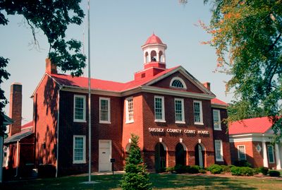
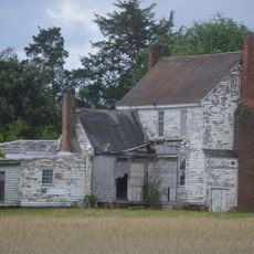
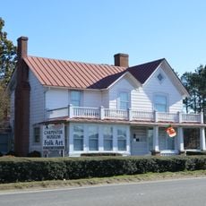
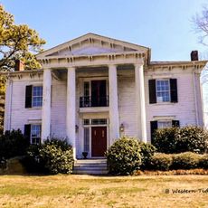
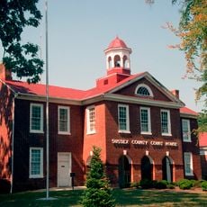
Sussex County, Administrative division in southeast Virginia, United States

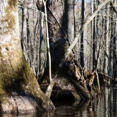
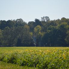
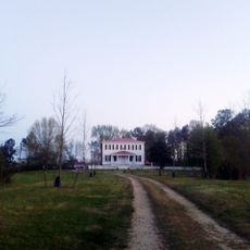
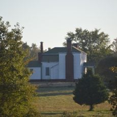
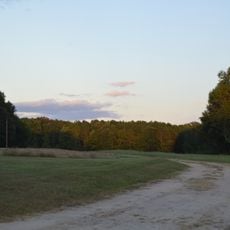
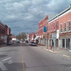
Sussex County is an administrative area in southeast Virginia with gentle rolling land and several small towns including Jarratt, Stony Creek, and Waverly. The region spans diverse terrain and is crossed by major transportation routes.

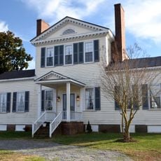
The county was established in 1754 from parts of Surry County and took its name from an English shire. This founding made it an important agricultural hub in colonial Virginia.

The Nottoway people, connected to the Powhatan Confederacy, left their mark on this land thousands of years ago. Their presence shaped how people later used and valued this region.

The area sits between Richmond and Hampton Roads with good access via Interstate 95 and US Highway 460. These road connections make it easy to visit and explore different parts of the county.

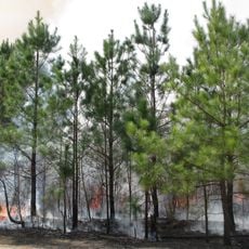
A major forest fire on April 5, 1943 destroyed over 12,000 acres in just a few hours and ranks among the largest ever recorded in Virginia. This event left a lasting mark on land management and fire awareness in the region.

Location: Virginia

Inception: 1754

Capital city: Sussex

Shares border with: Prince George County, Surry County, Southampton County, Greensville County, Dinwiddie County

Website: http://sussexcountyva.gov

GPS coordinates: 36.93000,-77.26000

Latest update: December 7, 2025 19:25

Photos
Around this place
Show the full map
Greensville Correctional Center
United States of America

Greensville Correctional Center

24.9 km
Rebecca Vaughan House
United States of America

Rebecca Vaughan House

30.3 km
Big Woods Wildlife Management Area
United States of America

Big Woods Wildlife Management Area

15.7 km
Big Woods State Forest
United States of America

Big Woods State Forest

15.9 km
Dendron Swamp Natural Area Preserve
United States of America

Dendron Swamp Natural Area Preserve

28.2 km
Fortsville
United States of America

Fortsville

27.8 km
Dinwiddie County Court House
United States of America

Dinwiddie County Court House

33.4 km
Hunting Quarter
United States of America

Hunting Quarter

7.6 km
Rose Bower
United States of America

Rose Bower

25 km
Miles B. Carpenter House
United States of America

Miles B. Carpenter House

19 km
Little Town
United States of America

Little Town

8.2 km
Sunnyside
United States of America

Sunnyside

33.5 km
Chester
United States of America

Chester

8.5 km
Aspen Lawn
United States of America

Aspen Lawn

33.5 km
Glenview
United States of America

Glenview

14.3 km
Greensville County Training School
United States of America

Greensville County Training School

35.6 km
Sussex County Courthouse Historic District
United States of America

Sussex County Courthouse Historic District

2.4 km
Snow Hill
United States of America

Snow Hill

25.7 km
Rose Hill
United States of America

Rose Hill

23.3 km
William H. Vincent House
United States of America

William H. Vincent House

25.3 km
Waverly Downtown Historic District
United States of America

Waverly Downtown Historic District

20 km
Cedar Ridge
United States of America

Cedar Ridge

24 km
Beechwood
United States of America

Beechwood

30.3 km
Sebrell Rural Historic District
United States of America

Sebrell Rural Historic District

19.9 km
Rochelle-Prince House
United States of America

Rochelle-Prince House

29.7 km
Alexander Watson Batte House
United States of America

Alexander Watson Batte House

29.5 km
Weaver House
United States of America

Weaver House

29.5 km
Simmons-Sebrell-Camp House
United States of America

Simmons-Sebrell-Camp House

19.6 km
Show the full map
Reviews

Visited this place? Tap the stars to rate it and share your experience / photos with the community! Try now! You can cancel it anytime.

Administrative divisions
« Sussex County - Administrative division in southeast Virginia, United States » is provided by Around Us (aroundus.com). Images and texts are derived from Wikimedia project under a Creative Commons license. You are allowed to copy, distribute, and modify copies of this page, under the conditions set by the license, as long as this note is clearly visible.

Discover hidden gems everywhere you go!

From secret cafés to breathtaking viewpoints, skip the crowded tourist spots and find places that match your style. Our app makes it easy with voice search, smart filtering, route optimization, and insider tips from travelers worldwide. Download now for the complete mobile experience.

Around Us App Screenshot

A unique approach to discovering new places

Le Figaro

All the places worth exploring

France Info

A tailor-made excursion in just a few clicks

20 Minutes