Enable Location

We need your location to show you interesting places around you

Discover nearby places

Find interesting locations and hidden gems around you

Precise directions

Get accurate directions and distances to places

Your location is never shared with other users. It's only used when you tap the location button.

Tippah County

Log in to your account

Start exploring — it's free

Trusted by 62,440 travelers worldwide

Continue with Google
Continue with Apple
or

We will send you a code to connect

By continuing, you accept our Terms and Conditions and our Privacy Policy

Check your inbox

We've sent a pincode in your inbox. Please enter the code below.

Tippah County, County administrative division in northern Mississippi, United States

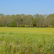
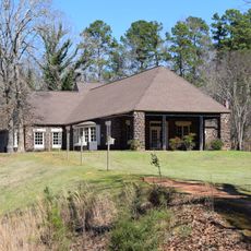
Tippah County is an administrative division in northern Mississippi featuring rolling terrain, waterways, and farmland spread across the landscape. The county encompasses approximately 460 square miles and forms part of the state's northern border region.

Tippah County was established in 1836 from territory previously part of Tishomingo County. The name originates from a Chickasaw word referring to rocky ground or isolated land.

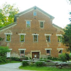
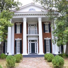
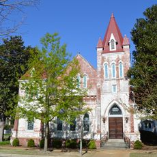
The county name comes from the Chickasaw language, referring to the rocky character of the land. Communities here maintain a connection to the landscape and their roots through farming and local traditions.

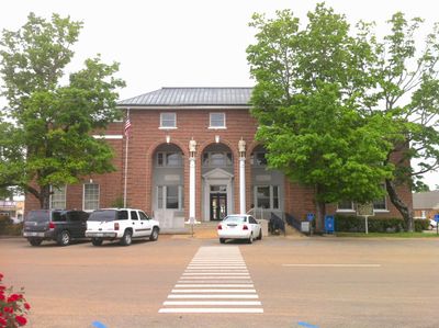
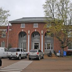
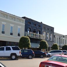
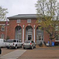
The county seat of Ripley provides access to major highways including U.S. Route 72, Mississippi Route 2, and Mississippi Route 15. These roads make it easy to reach and travel through the county.

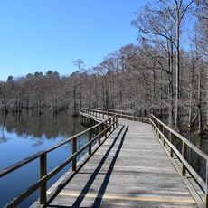
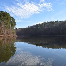
Parts of Holly Springs National Forest lie within the county boundaries, offering outdoor activities throughout the year. These protected forest areas provide a contrast to the surrounding farm country and attract visitors seeking nature with fewer crowds.

The community of curious travelers

AroundUs brings together thousands of curated places, local tips, and hidden gems, enriched daily by 60,000 contributors worldwide.

Start exploring
Location
Inception
1836
Capital city
Ripley
Shares border with
Hardeman County, Alcorn County, Prentiss County, Union County, Benton County
GPS coordinates
34.77000,-88.91000
Latest update
December 7, 2025 20:42
Around this place
Graceland Too
United States of America

Graceland Too

48.9 km
Wall Doxey State Park
United States of America

Wall Doxey State Park

52.5 km
Walter Place
United States of America

Walter Place

49.8 km
Big Hill Pond State Park
United States of America

Big Hill Pond State Park

35.4 km
Siege and Battle of Corinth Sites
United States of America

Siege and Battle of Corinth Sites

41.1 km
Boling-Gatewood House
United States of America

Boling-Gatewood House

48.9 km
Falls Mill
United States of America

Falls Mill

54.8 km
Veranda House
United States of America

Veranda House

40.1 km
Oakleigh
United States of America

Oakleigh

48.6 km
Hickory Withe Presbyterian Church
United States of America

Hickory Withe Presbyterian Church

58 km
Midtown Corinth Historic District
United States of America

Midtown Corinth Historic District

40.4 km
Ripley Historic District
United States of America

Ripley Historic District

6 km
Pocahontas School
United States of America

Pocahontas School

32.4 km
La Grange Historic District
United States of America

La Grange Historic District

42 km
Bethel Springs Presbyterian Church
United States of America

Bethel Springs Presbyterian Church

58.4 km
Dunvegan
United States of America

Dunvegan

49.4 km
Old Water and Electric Light Plant
United States of America

Old Water and Electric Light Plant

49.1 km
Southwest Holly Springs Historic District
United States of America

Southwest Holly Springs Historic District

49.5 km
Immanuel Church
United States of America

Immanuel Church

43 km
Downtown Corinth Historic District
United States of America

Downtown Corinth Historic District

40 km
Downtown Booneville Historic District
United States of America

Downtown Booneville Historic District

34.2 km
Dr. Isham G. Bailey House
United States of America

Dr. Isham G. Bailey House

49.1 km
Bolivar Court Square Historic District
United States of America

Bolivar Court Square Historic District

54.6 km
Old U.S. Post Office
United States of America

Old U.S. Post Office

5.6 km
Shiloh Chennault Bed and Breakfast - Plantation - West Tennessee - Boutique Hotel
United States of America

Shiloh Chennault Bed and Breakfast - Plantation - West Tennessee - Boutique Hotel

46.7 km
National Bird Dog Museum
United States of America

National Bird Dog Museum

40.5 km
East Holly Springs Historic District
United States of America

East Holly Springs Historic District

48.5 km
Wall Doxey State Park Historic District
United States of America

Wall Doxey State Park Historic District

51.8 km
Show the full map
Administrative divisions
« Tippah County - County administrative division in northern Mississippi, United States » is provided by Around Us (aroundus.com). Images and texts are derived from Wikimedia project under a Creative Commons license. You are allowed to copy, distribute, and modify copies of this page, under the conditions set by the license, as long as this note is clearly visible.

Discover hidden gems everywhere you go!

From secret cafés to breathtaking viewpoints, skip the crowded tourist spots and find places that match your style. Our app makes it easy with voice search, smart filtering, route optimization, and insider tips from travelers worldwide. Download now for the complete mobile experience.

Around Us App Screenshot

A unique approach to discovering new places

Le Figaro

All the places worth exploring

France Info

A tailor-made excursion in just a few clicks

20 Minutes

Around Us
Travel Guide & Maps
Download

Send to your phone

QR Code
1

Open the camera app on your mobile.

2

Point at the QR code with your camera. A notification will appear.

3

Tap the notification to open the link.