Enable Location

We need your location to show you interesting places around you

Discover nearby places

Find interesting locations and hidden gems around you

Precise directions

Get accurate directions and distances to places

Your location is never shared with other users. It's only used when you tap the location button.

DeKalb County

Log in to your account

Start exploring — it's free

Trusted by 61,977 travelers worldwide

Continue with Google
Continue with Apple
or

We will send you a code to connect

By continuing, you accept our Terms and Conditions and our Privacy Policy

Check your inbox

We've sent a pincode in your inbox. Please enter the code below.

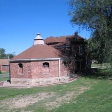
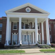
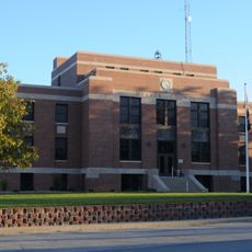
DeKalb County, County administration center in Maysville, Missouri

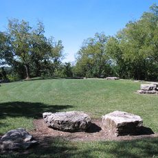
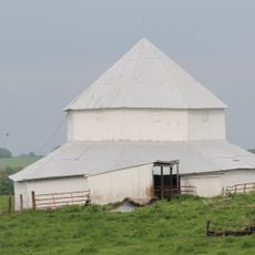
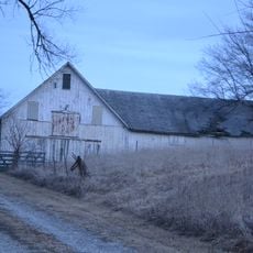
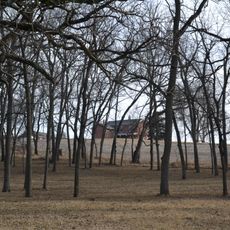
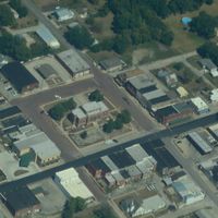
DeKalb County is an administrative county in northwest Missouri with farmland and scattered residential communities. The area spans a rural landscape dotted with small towns and open fields that shape the character of the region.

The county was established in 1845 and named after German General Johann de Kalb who fought in the American Revolutionary War. The name reflects the military contribution from that pivotal period of American history.

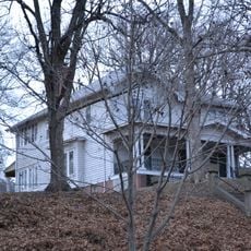
The population of DeKalb County reflects traditional midwest values through local initiatives, educational programs, and community-focused governmental operations.

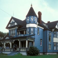
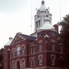
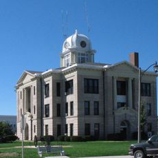
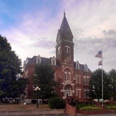
The Courthouse in Maysville serves as the administrative center and the main point for official county matters. Visitors should know that the area is rural and distances between communities are considerable.

The area has very low population density, creating substantial space between settlements. This spaciousness shapes the feeling of the region and makes long drives between places a normal part of local life.

The community of curious travelers

AroundUs brings together thousands of curated places, local tips, and hidden gems, enriched daily by 60,000 contributors worldwide.

Start exploring
Location
Inception
February 25, 1845
Capital city
Maysville
Shares border with
Gentry County, Clinton County, Daviess County, Caldwell County, Buchanan County, Andrew County
GPS coordinates
39.90000,-94.40000
Latest update
December 10, 2025 15:55
Around this place
Adam-ondi-Ahman
United States of America

Adam-ondi-Ahman

37.3 km
United States of America

Krug Park

40 km
United States of America

Spratt Stadium

36.4 km
Wallace State Park
United States of America

Wallace State Park

31.2 km
United States of America

David L. and Sallie Ann Stoutimore House

38 km
A. Taylor Ray House
United States of America

A. Taylor Ray House

37.3 km
J. F. Roberts Octagonal Barn
United States of America

J. F. Roberts Octagonal Barn

34.6 km
Walnut Park Farm Historic District
United States of America

Walnut Park Farm Historic District

36.1 km
Albrecht-Kemper Museum
United States of America

Albrecht-Kemper Museum

38.7 km
Daviess County Rotary Jail and Sheriff's Residence
United States of America

Daviess County Rotary Jail and Sheriff's Residence

37.3 km
Andrew County Courthouse
United States of America

Andrew County Courthouse

36.9 km
St. Munchin Catholic Church
United States of America

St. Munchin Catholic Church

22.2 km
Daviess County Courthouse
United States of America

Daviess County Courthouse

37.4 km
Century Apartments
United States of America

Century Apartments

39.4 km
Krug Park Place Historic District
United States of America

Krug Park Place Historic District

40 km
Miller-Porter-Lacy House
United States of America

Miller-Porter-Lacy House

38.5 km
McIntyre-Burri House
United States of America

McIntyre-Burri House

39.4 km
Cracker Barrel
United States of America

Cracker Barrel

36.5 km
Dr. Jacob Geiger House-Maud Wyeth Painter House
United States of America

Dr. Jacob Geiger House-Maud Wyeth Painter House

39.2 km
Buchanan County Infirmary
United States of America

Buchanan County Infirmary

36.3 km
Gentry County Courthouse
United States of America

Gentry County Courthouse

33.4 km
Isaac Miller House
United States of America

Isaac Miller House

37.5 km
Kemper Addition Historic District
United States of America

Kemper Addition Historic District

39.9 km
Belt Bowl
United States of America

Belt Bowl

37.6 km
City Hose Company No. 9
United States of America

City Hose Company No. 9

39.5 km
DeKalb County Courthouse
United States of America

DeKalb County Courthouse

3.6 km
Nelson-Pettis Farmsteads Historic District
United States of America

Nelson-Pettis Farmsteads Historic District

40.2 km
John Sublett Jr. and Caroline Ashton Logan House
United States of America

John Sublett Jr. and Caroline Ashton Logan House

39.3 km
Show the full map
Administrative divisions
« DeKalb County - County administration center in Maysville, Missouri » is provided by Around Us (aroundus.com). Images and texts are derived from Wikimedia project under a Creative Commons license. You are allowed to copy, distribute, and modify copies of this page, under the conditions set by the license, as long as this note is clearly visible.

Discover hidden gems everywhere you go!

From secret cafés to breathtaking viewpoints, skip the crowded tourist spots and find places that match your style. Our app makes it easy with voice search, smart filtering, route optimization, and insider tips from travelers worldwide. Download now for the complete mobile experience.

Around Us App Screenshot

A unique approach to discovering new places

Le Figaro

All the places worth exploring

France Info

A tailor-made excursion in just a few clicks

20 Minutes

Around Us
Travel Guide & Maps
Download

Send to your phone

QR Code
1

Open the camera app on your mobile.

2

Point at the QR code with your camera. A notification will appear.

3

Tap the notification to open the link.