Todd County

Log in to your account

AroundUs is a community-driven map of interesting places, built by curious explorers like you. It grows with every review, story, and photo you share.
Connect to save your favorite spots, contribute locations, and create personalized routes.
Continue with Google
Continue with Apple
Continue with X
Continue with Facebook
Continue with email
By continuing, you accept our Terms and Conditions and our Privacy Policy
Create an account
Add to collection
Map
Suggest a change
Share

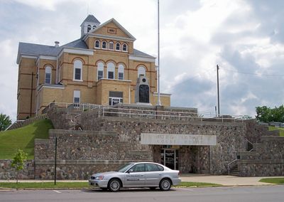
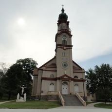
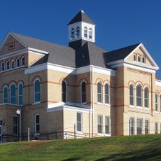
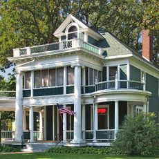
Todd County, County seat in central Minnesota, United States.

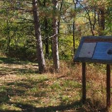
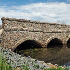
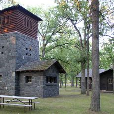
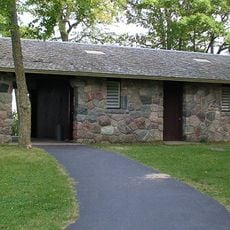
Todd County is an administrative division in central Minnesota with rolling terrain, farmland, and several rivers including the Long Prairie River and Crow Wing River. The landscape varies between hilly areas in the east and flatter sections in the west that are crossed by waterways.

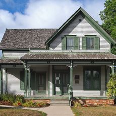
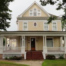
The Minnesota legislature established Todd County on February 20, 1855, and named it in honor of Civil War General John Blair Smith Todd. The area's development over subsequent decades was shaped by farming settlement and later the arrival of minority communities seeking agricultural land.

Several Amish communities live throughout the region, and their traditional farming practices and horse-drawn wagons shape the rural landscape you encounter while traveling.

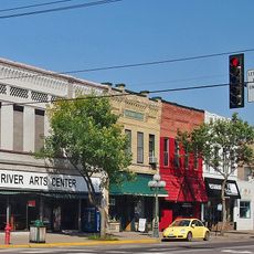
The area connects to other parts of Minnesota through Interstate 94, US Highway 10, and US Highway 52, making travel straightforward. Road conditions are generally good, and multiple entry points from major highways provide easy access throughout the region.

The eastern portion contains drum-shaped hills called drumlins that were molded by the last ice age and create a distinctive rolling profile. These glacial landforms stand out sharply from the flat prairie sections to the west.

Location: Minnesota

Inception: February 20, 1855

Capital city: Long Prairie

Shares border with: Wadena County, Stearns County, Cass County, Morrison County, Douglas County, Otter Tail County

Website: https://co.todd.mn.us

GPS coordinates: 46.07000,-94.90000

Latest update: December 7, 2025 20:41

Photos
Around this place
The Palmer House
United States of America

The Palmer House

37.3 km
Charles A. Lindbergh State Park
United States of America

Charles A. Lindbergh State Park

40.9 km
Fort Ripley
United States of America

Fort Ripley

42.3 km
Lake Carlos State Park
United States of America

Lake Carlos State Park

34.7 km
Sinclair Lewis Boyhood Home
United States of America

Sinclair Lewis Boyhood Home

37.3 km
Viking Altar Rock
United States of America

Viking Altar Rock

31.8 km
Minnesota Military Museum
United States of America

Minnesota Military Museum

42.7 km
Old Wadena Historic District
United States of America

Old Wadena Historic District

39.5 km
Church of St. Joseph-Catholic
United States of America

Church of St. Joseph-Catholic

3.1 km
Minnesota Home School for Girls Historic District
United States of America

Minnesota Home School for Girls Historic District

35.6 km
Hewitt Public School
United States of America

Hewitt Public School

32 km
Original Main Street Historic District
United States of America

Original Main Street Historic District

37.3 km
Todd County Courthouse, Sheriff's House, and Jail
United States of America

Todd County Courthouse, Sheriff's House, and Jail

11.2 km
Grey Eagle Village Hall
United States of America

Grey Eagle Village Hall

29.8 km
Charles A. Weyerhaeuser and Musser Houses
United States of America

Charles A. Weyerhaeuser and Musser Houses

42.7 km
Almond A. White House
United States of America

Almond A. White House

35.8 km
Burton-Rosenmeier House
United States of America

Burton-Rosenmeier House

42.8 km
Batcher Opera House Block
United States of America

Batcher Opera House Block

11.1 km
Pine Tree Lumber Company Office Building
United States of America

Pine Tree Lumber Company Office Building

42.8 km
Hotel Reichert
United States of America

Hotel Reichert

11.1 km
Dr. George R. Christie House
United States of America

Dr. George R. Christie House

11.1 km
Little Falls Commercial Historic District
United States of America

Little Falls Commercial Historic District

42.8 km
Bridge L7075
United States of America

Bridge L7075

7.1 km
Bank of Long Prairie
United States of America

Bank of Long Prairie

11.1 km
Charles A. Lindbergh State Park WPA/Rustic Style Historic Resources
United States of America

Charles A. Lindbergh State Park WPA/Rustic Style Historic Resources

41.3 km
Charles Lindbergh House and Museum
United States of America

Charles Lindbergh House and Museum

41.5 km
Minnesota Fishing Museum
United States of America

Minnesota Fishing Museum

42 km
Lake Carlos State Park WPA/Rustic Style Historic District
United States of America

Lake Carlos State Park WPA/Rustic Style Historic District

35.3 km
Show the full map
Reviews

Visited this place? Tap the stars to rate it and share your experience / photos with the community! Try now! You can cancel it anytime.

« Todd County - County seat in central Minnesota, United States » is provided by Around Us (aroundus.com). Images and texts are derived from Wikimedia project under a Creative Commons license. You are allowed to copy, distribute, and modify copies of this page, under the conditions set by the license, as long as this note is clearly visible.

Discover hidden gems everywhere you go!

From secret cafés to breathtaking viewpoints, skip the crowded tourist spots and find places that match your style. Our app makes it easy with voice search, smart filtering, route optimization, and insider tips from travelers worldwide. Download now for the complete mobile experience.

Around Us App Screenshot

A unique approach to discovering new places

Le Figaro

All the places worth exploring

France Info

A tailor-made excursion in just a few clicks

20 Minutes