Coshocton County

Log in to your account

AroundUs is a community-driven map of interesting places, built by curious explorers like you. It grows with every review, story, and photo you share.
Connect to save your favorite spots, contribute locations, and create personalized routes.
Continue with Google
Continue with Apple
Continue with X
Continue with Facebook
Continue with email
By continuing, you accept our Terms and Conditions and our Privacy Policy
Create an account
Add to collection
Map
Suggest a change
Share

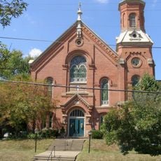
Coshocton County, Administrative county in eastern Ohio, United States

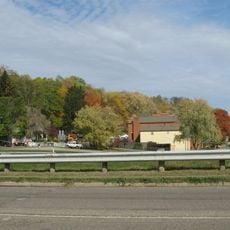
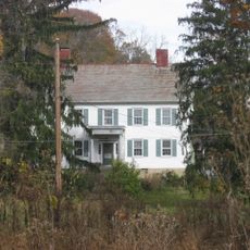
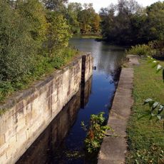
Coshocton County is an administrative division in eastern Ohio that covers rolling terrain with forests and waterways running through it. Three rivers flow through the area and shape the landscape.

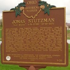
The county was established in 1811 during westward expansion and takes its name from Delaware Indian language meaning union of waters or black bear crossing. This naming reflects the Indigenous presence that preceded European settlement.

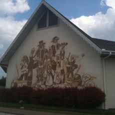
The annual county fair draws farmers and craftspeople who gather to showcase local crops, livestock, and handmade goods that reflect rural life in the region.

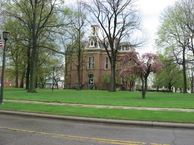
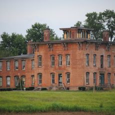
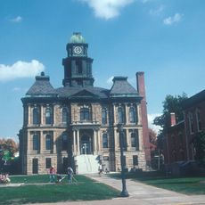
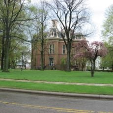
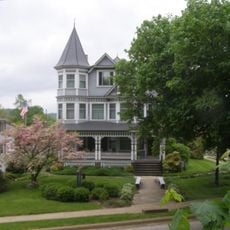
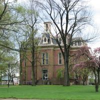
The county seat provides government services, schools, and medical facilities for visitors and residents alike. Spring through fall offers the best conditions for exploring the area with comfortable weather and open access to outdoor spaces.

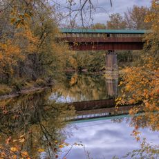
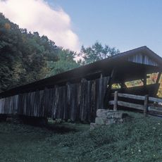
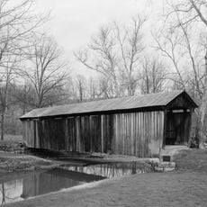
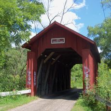
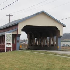
The area is known for its collection of covered wooden bridges that cross the waterways, with one particularly notable structure stretching 370 feet in length. These bridges represent an older building tradition that visitors can still travel across today.

Location: Ohio

Inception: April 1, 1811

Capital city: Coshocton

Shares border with: Holmes County, Muskingum County, Tuscarawas County, Guernsey County, Licking County, Knox County

Website: http://coshoctoncounty.net

GPS coordinates: 40.30000,-81.92000

Latest update: December 7, 2025 19:25

Photos
Around this place
Prospect Place
United States of America

Prospect Place

20 km
Age of Steam Roundhouse
United States of America

Age of Steam Roundhouse

29.3 km
Bridge of Dreams
United States of America

Bridge of Dreams

29.6 km
Roscoe Village
United States of America

Roscoe Village

4.5 km
Amish & Mennonite Heritage Center
United States of America

Amish & Mennonite Heritage Center

32.1 km
United States of America

Johnson-Humrickhouse Museum

4.4 km
Holmes County Courthouse
United States of America

Holmes County Courthouse

28.3 km
Helmick Covered Bridge
United States of America

Helmick Covered Bridge

10.5 km
United States of America

Welling Site

13 km
Adams-Gray House
United States of America

Adams-Gray House

15.9 km
Coshocton County Courthouse
United States of America

Coshocton County Courthouse

5.4 km
Brightman House
United States of America

Brightman House

28.9 km
Booth Homestead
United States of America

Booth Homestead

31 km
Salt Creek Covered Bridge
United States of America

Salt Creek Covered Bridge

34.2 km
Pomerene House
United States of America

Pomerene House

28.5 km
United States of America

G. Adams House

28.4 km
Muskingum River Navigation Historic District
United States of America

Muskingum River Navigation Historic District

4 km
Millersburg Christian Church
United States of America

Millersburg Christian Church

28.5 km
United Methodist Church
United States of America

United Methodist Church

28.5 km
Samuel Harper Stone House
United States of America

Samuel Harper Stone House

34.2 km
Boyd School
United States of America

Boyd School

32.3 km
David Warther Carvings & Gift Shop
United States of America

David Warther Carvings & Gift Shop

31.5 km
Longaberger Homestead
United States of America

Longaberger Homestead

21.2 km
Duncan Theater
United States of America

Duncan Theater

22.6 km
Indian Camp Covered Bridge
United States of America

Indian Camp Covered Bridge

31.1 km
Dresden Suspension Bridge
United States of America

Dresden Suspension Bridge

21.1 km
Stutzman's Crossing
United States of America

Stutzman's Crossing

30.9 km
Jonas Stutzman
United States of America

Jonas Stutzman

30.7 km
Show the full map
Reviews

Visited this place? Tap the stars to rate it and share your experience / photos with the community! Try now! You can cancel it anytime.

Administrative divisions
« Coshocton County - Administrative county in eastern Ohio, United States » is provided by Around Us (aroundus.com). Images and texts are derived from Wikimedia project under a Creative Commons license. You are allowed to copy, distribute, and modify copies of this page, under the conditions set by the license, as long as this note is clearly visible.

Discover hidden gems everywhere you go!

From secret cafés to breathtaking viewpoints, skip the crowded tourist spots and find places that match your style. Our app makes it easy with voice search, smart filtering, route optimization, and insider tips from travelers worldwide. Download now for the complete mobile experience.

Around Us App Screenshot

A unique approach to discovering new places

Le Figaro

All the places worth exploring

France Info

A tailor-made excursion in just a few clicks

20 Minutes