Mercer County

Log in to your account

AroundUs is a community-driven map of interesting places, built by curious explorers like you. It grows with every review, story, and photo you share.
Connect to save your favorite spots, contribute locations, and create personalized routes.
Continue with Google
Continue with Apple
Continue with X
Continue with Facebook
Continue with email
By continuing, you accept our Terms and Conditions and our Privacy Policy
Create an account
Add to collection
Map
Suggest a change
Share

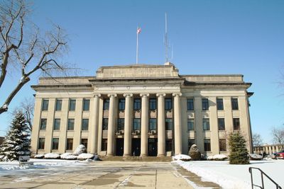
Mercer County, County seat in western Ohio, United States

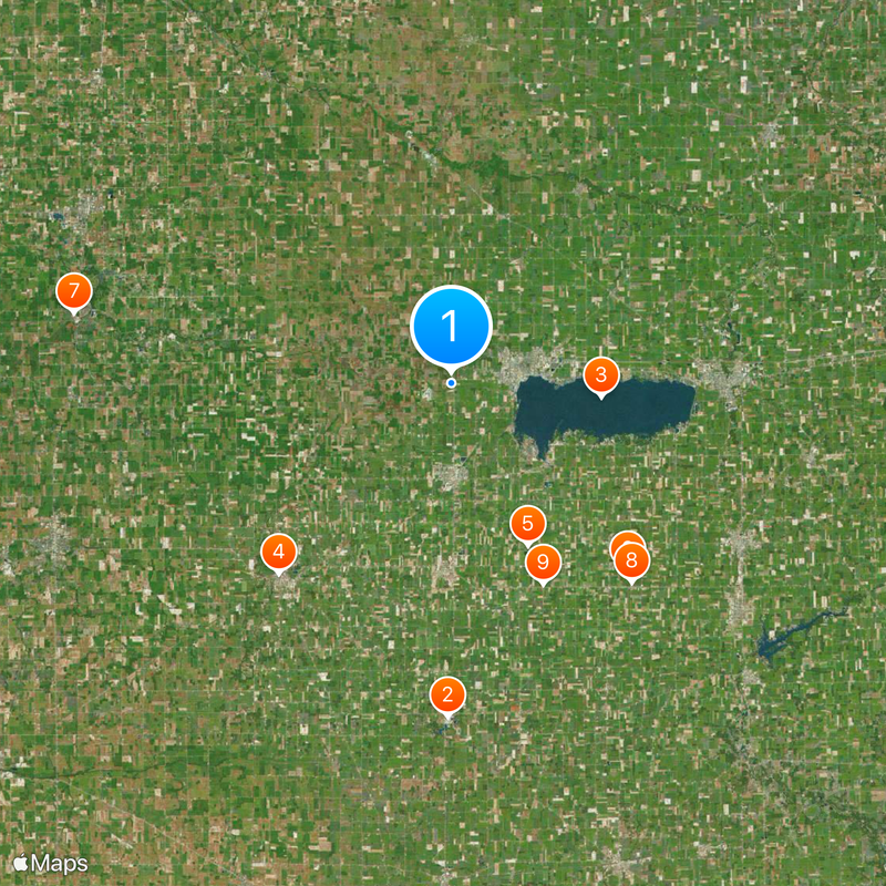
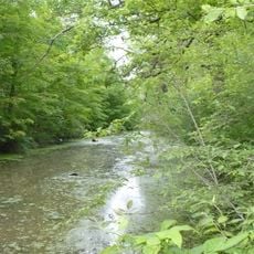
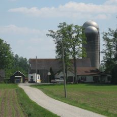
Mercer County is a rural area in western Ohio covering roughly 473 square miles of farmland. The Wabash and St. Marys rivers run through this region, creating natural water boundaries.

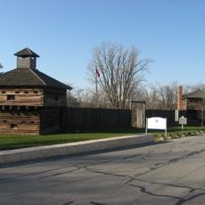
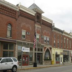
The county was established in 1820 and organized four years later, named after Hugh Mercer, a Revolutionary War officer. Settlement followed the westward expansion pattern of the early 19th century.

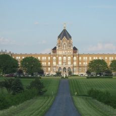
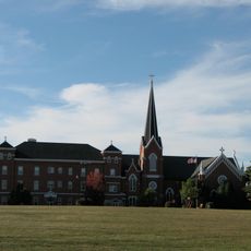
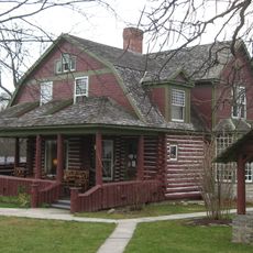
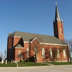
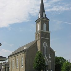
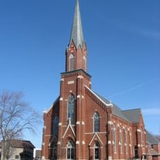
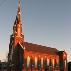
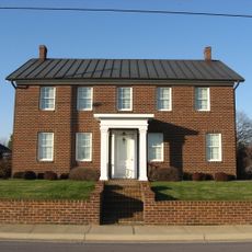
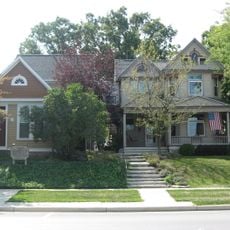
German farming families arrived in the 1800s and built communities centered on agriculture, shaping how people here live and work. This heritage still shows in the way the land is used and how rural traditions remain part of daily life.

The area is mostly flat and open, making it easy to drive around and explore different parts of the county. Spring through fall are the best times to visit when the weather is mild.

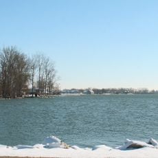
The creation of Grand Lake divided Beaver Creek into two separate sections, creating distinct water features across the land. This engineered waterway change shapes how the area appears to visitors.

Location: Ohio

Inception: January 2, 1824

Capital city: Celina

Shares border with: Adams County, Van Wert County, Auglaize County, Shelby County, Darke County, Jay County

Website: http://mercercountyohio.org

GPS coordinates: 40.54000,-84.63000

Latest update: December 20, 2025 15:16

Photos
Around this place
Eldora Speedway
United States of America

Eldora Speedway

24.6 km
Grand Lake St. Marys State Park
United States of America

Grand Lake St. Marys State Park

11.1 km
Fort Recovery
United States of America

Fort Recovery

19 km
St. Charles Seminary
United States of America

St. Charles Seminary

13.2 km
Shrine of the Holy Relics
United States of America

Shrine of the Holy Relics

19 km
Gene Stratton Porter Cabin
United States of America

Gene Stratton Porter Cabin

28.4 km
St. John the Baptist Catholic Church
United States of America

St. John the Baptist Catholic Church

19.8 km
Nativity of the Blessed Virgin Mary Catholic Church
United States of America

Nativity of the Blessed Virgin Mary Catholic Church

16.3 km
Grand Lake St. Marys Lighthouse
United States of America

Grand Lake St. Marys Lighthouse

12.6 km
Miami and Erie Canal Deep Cut
United States of America

Miami and Erie Canal Deep Cut

27.7 km
St. Sebastian's Catholic Church
United States of America

St. Sebastian's Catholic Church

14.3 km
Precious Blood Catholic Church
United States of America

Precious Blood Catholic Church

16.4 km
Holy Trinity Catholic Church
United States of America

Holy Trinity Catholic Church

17.9 km
Adolph Boesel House
United States of America

Adolph Boesel House

23.9 km
Julius Boesel House
United States of America

Julius Boesel House

23.6 km
Minster Elementary School
United States of America

Minster Elementary School

26.7 km
Ceylon Covered Bridge
United States of America

Ceylon Covered Bridge

27.7 km
William Luelleman House
United States of America

William Luelleman House

23.8 km
H.E. Fledderjohann Property
United States of America

H.E. Fledderjohann Property

27.1 km
Matthias Gast House
United States of America

Matthias Gast House

20 km
Dr. Issac Elmer Williams House and Office
United States of America

Dr. Issac Elmer Williams House and Office

20.1 km
Wallischeck Homestead
United States of America

Wallischeck Homestead

18 km
Geneva Downtown Commercial Historic District
United States of America

Geneva Downtown Commercial Historic District

28.4 km
Grand Lake St. Marys
United States of America

Grand Lake St. Marys

11.9 km
Bicycle Museum of America
United States of America

Bicycle Museum of America

24 km
Star Theatre
United States of America

Star Theatre

28.3 km
Blackhoof Street Bridge
United States of America

Blackhoof Street Bridge

24.1 km
The Miami & Erie Canal and New Bremen
United States of America

The Miami & Erie Canal and New Bremen

24.1 km
Show the full map
Reviews

Visited this place? Tap the stars to rate it and share your experience / photos with the community! Try now! You can cancel it anytime.

Administrative divisions
« Mercer County - County seat in western Ohio, United States » is provided by Around Us (aroundus.com). Images and texts are derived from Wikimedia project under a Creative Commons license. You are allowed to copy, distribute, and modify copies of this page, under the conditions set by the license, as long as this note is clearly visible.

Discover hidden gems everywhere you go!

From secret cafés to breathtaking viewpoints, skip the crowded tourist spots and find places that match your style. Our app makes it easy with voice search, smart filtering, route optimization, and insider tips from travelers worldwide. Download now for the complete mobile experience.

Around Us App Screenshot

A unique approach to discovering new places

Le Figaro

All the places worth exploring

France Info

A tailor-made excursion in just a few clicks

20 Minutes