
Seneca County, County in northwestern Ohio, United States.
Seneca County spans 553 square miles of terrain with a combination of agricultural lands, urban settlements, and small communities across northwestern Ohio.
The county, established in 1820 and officially organized in 1824, received its name from the Seneca Indians of the Iroquois Confederacy.
Local traditions and community life center around Tiffin, the county seat, which maintains museums, educational institutions, and regular public gatherings.
The county provides essential services through a network of roads, healthcare facilities, and administrative offices serving a population of 55,069 residents.
Eighty percent of Seneca County consists of agricultural land, with terrain gradually descending from 290 meters to 210 meters toward the Great Black Swamp.
Location: Ohio
Inception: February 12, 1820
Capital city: Tiffin
Shares border with: Sandusky County, Crawford County, Huron County, Wyandot County, Hancock County, Wood County
Website: http://senecacounty.com
GPS coordinates: 41.13000,-83.13000
Latest update: March 5, 2025 04:31

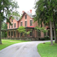
Spiegel Grove
23.5 km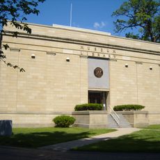
Rutherford B. Hayes Presidential Center
23.6 km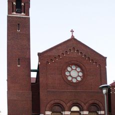
Basilica and National Shrine of Our Lady of Consolation
29.4 km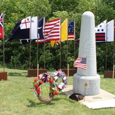
Col. Crawford Burn Site Monument
28.7 km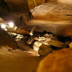
Seneca Caverns
23.9 km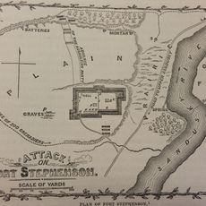
Fort Stephenson
24.1 km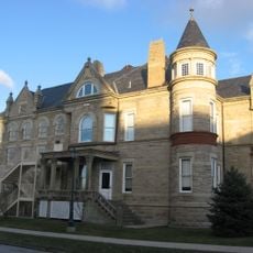
Sandusky County Jail and Sheriff's House
24.2 km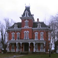
John Wright Mansion
33.1 km
Mull Covered Bridge
15.3 km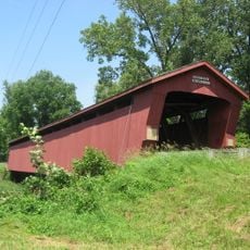
Parker Covered Bridge
27 km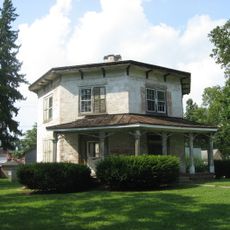
The Octagon
3.5 km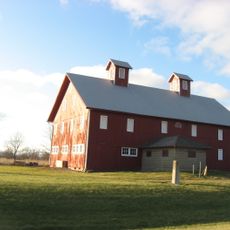
Overmyer–Waggoner–Roush Farm
32.3 km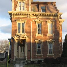
Frederick Fabing House
24 km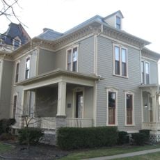
Joseph and Rachel Bartlett House
24 km
Soldiers and McKinley Memorial Parkways
23.4 km
Sandusky County Courthouse
24.2 km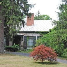
Bagby-Hossler House
5.3 km
Aigler Alumni Building
3.5 km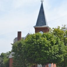
Pleasant Ridge United Methodist Church and Cemetery
5 km
Black Student Union Center
3.6 km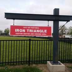
Fostoria Iron Triangle Rail Park
23.5 km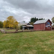
Historic Lyme Village & Museum with The John Wright Victorian Mansion
33 km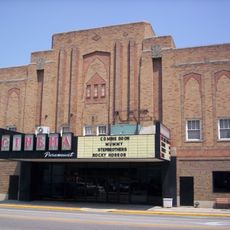
Paramount Cinema
23.9 km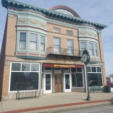
New Washington Branch Library
29.8 km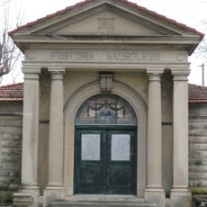
Fostoria Mausoleum
25.2 km
Early Electric Illumination, 1884
4.4 km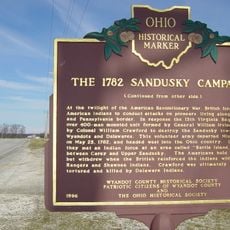
Colonel William Crawford - The 1782 Sandusky Campaign
28.7 km
Mad River and Lake Erie Railroad
4.3 kmReviews
Visited this place? Tap the stars to rate it and share your experience / photos with the community! Try now! You can cancel it anytime.
Discover hidden gems everywhere you go!
From secret cafés to breathtaking viewpoints, skip the crowded tourist spots and find places that match your style. Our app makes it easy with voice search, smart filtering, route optimization, and insider tips from travelers worldwide. Download now for the complete mobile experience.

A unique approach to discovering new places❞
— Le Figaro
All the places worth exploring❞
— France Info
A tailor-made excursion in just a few clicks❞
— 20 Minutes