Benton County

Log in to your account

AroundUs is a community-driven map of interesting places, built by curious explorers like you. It grows with every review, story, and photo you share.
Connect to save your favorite spots, contribute locations, and create personalized routes.
Continue with Google
Continue with Apple
Continue with X
Continue with Facebook
Continue with email
By continuing, you accept our Terms and Conditions and our Privacy Policy
Create an account
Add to collection
Map
Suggest a change
Share

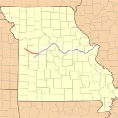
Benton County, Administrative county in west-central Missouri, United States.

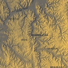
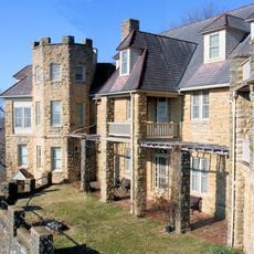
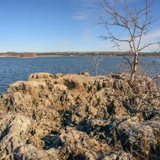
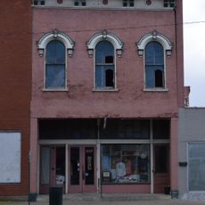
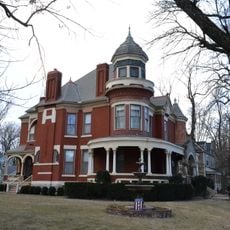
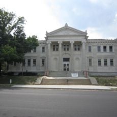
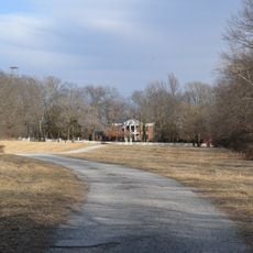
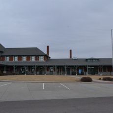
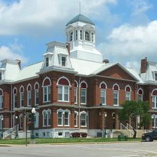
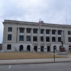
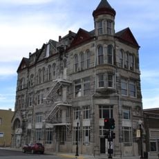
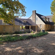
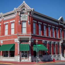
Benton County is an administrative region in west-central Missouri that combines small towns and rural countryside. The county centers around Warsaw, where the courthouse handles local government business for residents throughout the area.

This county was established in 1835 and named after Thomas Hart Benton, a United States Senator from Missouri. The creation followed the westward expansion pattern that shaped Missouri during that era.

Faith shapes everyday life here, with evangelical Protestant communities forming the spiritual backbone of the county. These congregations influence how residents gather, celebrate, and connect with one another throughout the year.

The courthouse in Warsaw handles administrative matters during weekday business hours with a midday break. Plan your visit in the morning or early afternoon to complete any business before the lunch closure.

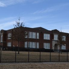
Multiple school districts operate here, each serving different parts of the county and shaping local communities. This scattered structure reflects how education is organized across rural areas where families live far apart.

Location: Missouri

Inception: January 3, 1835

Capital city: Warsaw

Shares border with: Pettis County, Hickory County, Morgan County, Camden County, St. Clair County, Henry County

Website: http://bentoncomo.com

GPS coordinates: 38.30000,-93.29000

Latest update: December 7, 2025 19:30

Photos
Around this place
Truman Reservoir
United States of America

Truman Reservoir

10.8 km
Weaubleau structure
United States of America

Weaubleau structure

46.3 km
Bothwell Lodge State Historic Site
United States of America

Bothwell Lodge State Historic Site

55.4 km
Bridal Cave
United States of America

Bridal Cave

51 km
Rock Island Trail State Park
United States of America

Rock Island Trail State Park

34 km
510th Missile Squadron
United States of America

510th Missile Squadron

52.9 km
Pomme de Terre State Park
United States of America

Pomme de Terre State Park

47.8 km
Harry S Truman State Park
United States of America

Harry S Truman State Park

13.1 km
509th Missile Squadron
United States of America

509th Missile Squadron

52.9 km
Building at 217 West Main Street
United States of America

Building at 217 West Main Street

45.9 km
Upper Bridge
United States of America

Upper Bridge

10.6 km
Harris House
United States of America

Harris House

45.5 km
Sedalia Public Library
United States of America

Sedalia Public Library

45.7 km
C.C. Hubbard High School
United States of America

C.C. Hubbard High School

46.6 km
Fiery Fork Conservation Area
United States of America

Fiery Fork Conservation Area

37.5 km
William H. Gentry House
United States of America

William H. Gentry House

49.5 km
Missouri, Kansas and Texas Railroad Depot
United States of America

Missouri, Kansas and Texas Railroad Depot

45.8 km
Morgan County Courthouse
United States of America

Morgan County Courthouse

40.8 km
Sedalia Commercial Historic District
United States of America

Sedalia Commercial Historic District

45.7 km
Missouri/Sedalia Trust Company
United States of America

Missouri/Sedalia Trust Company

45.7 km
McVey School
United States of America

McVey School

45.3 km
Glasgow Commercial Historic District
United States of America

Glasgow Commercial Historic District

49.3 km
South Main Street Historic District
United States of America

South Main Street Historic District

38.3 km
Bothwell Lodge State Historic Site
United States of America

Bothwell Lodge State Historic Site

55.4 km
Montserrat Recreational Demonstration Area Rock Bath House
United States of America

Montserrat Recreational Demonstration Area Rock Bath House

56.2 km
Henry County Museum
United States of America

Henry County Museum

43.4 km
Missouri State Fair
United States of America

Missouri State Fair

43.9 km
Lone Star Swimming Pool
United States of America

Lone Star Swimming Pool

33.8 km
Show the full map
Reviews

Visited this place? Tap the stars to rate it and share your experience / photos with the community! Try now! You can cancel it anytime.

« Benton County - Administrative county in west-central Missouri, United States » is provided by Around Us (aroundus.com). Images and texts are derived from Wikimedia project under a Creative Commons license. You are allowed to copy, distribute, and modify copies of this page, under the conditions set by the license, as long as this note is clearly visible.

Discover hidden gems everywhere you go!

From secret cafés to breathtaking viewpoints, skip the crowded tourist spots and find places that match your style. Our app makes it easy with voice search, smart filtering, route optimization, and insider tips from travelers worldwide. Download now for the complete mobile experience.

Around Us App Screenshot

A unique approach to discovering new places

Le Figaro

All the places worth exploring

France Info

A tailor-made excursion in just a few clicks

20 Minutes