Enable Location

We need your location to show you interesting places around you

Discover nearby places

Find interesting locations and hidden gems around you

Precise directions

Get accurate directions and distances to places

Your location is never shared with other users. It's only used when you tap the location button.

Kittson County

Log in to your account

Start exploring — it's free

Trusted by 62,378 travelers worldwide

Continue with Google
Continue with Apple
or

We will send you a code to connect

By continuing, you accept our Terms and Conditions and our Privacy Policy

Check your inbox

We've sent a pincode in your inbox. Please enter the code below.

Kittson County, Administrative county in northwestern Minnesota, US

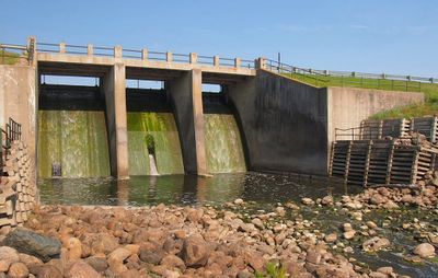
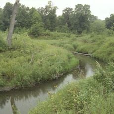
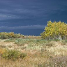
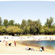
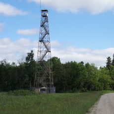
Kittson County is an administrative area in northwestern Minnesota bordering Canada. The landscape features rolling terrain with the Red River forming the natural boundary between the county and the Canadian province of Manitoba.

The area was established in 1878 when the former Pembina County was renamed. The arrival of the St. Paul & Pacific Railroad that same year brought economic changes and settlement growth to the region.

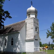
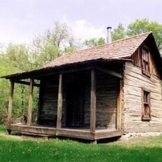
The county takes its name from Norman Kittson, a French-Canadian fur trader who shaped the region. Visitors can still see traces of this trading heritage reflected in the local communities today.

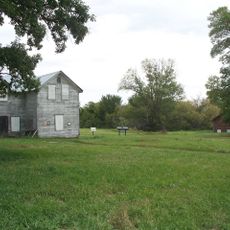
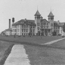
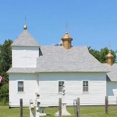
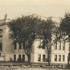
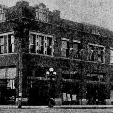
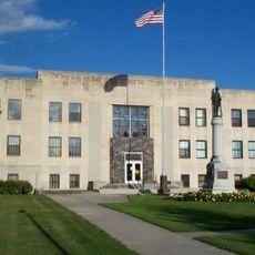
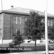
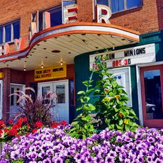
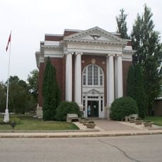
The area is accessible, but visitors should be prepared for rural and spread-out communities. Essential services are concentrated in Hallock, the county seat, where administrative buildings and facilities are easy to locate.

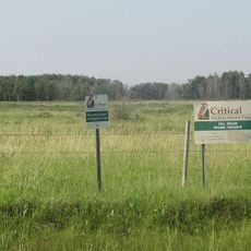
The region contains burial mounds dating back over 1,800 years to the Woodland Period, providing evidence of early human settlement. These archaeological sites allow visitors to glimpse the prehistoric history of the northwestern plains.

The community of curious travelers

AroundUs brings together thousands of curated places, local tips, and hidden gems, enriched daily by 60,000 contributors worldwide.

Start exploring
Location
Inception
March 9, 1878
Capital city
Hallock
Shares border with
Emerson, Pembina County, Marshall County, Roseau County
GPS coordinates
48.78000,-96.78000
Latest update
December 7, 2025 20:24
Around this place
AN/FPQ-16 PARCS
United States of America

AN/FPQ-16 PARCS

82.7 km
Lake Bronson State Park
United States of America

Lake Bronson State Park

14.4 km
Fort Dufferin
Canada

Fort Dufferin

41.6 km
Icelandic State Park
United States of America

Icelandic State Park

71.4 km
Manitoba Tall Grass Prairie Preserve
Canada

Manitoba Tall Grass Prairie Preserve

42.5 km
Grafton State School
United States of America

Grafton State School

62.2 km
Agassiz National Wildlife Refuge
United States of America

Agassiz National Wildlife Refuge

77.6 km
United States of America

Vikur Lutheran Church at Mountain

80.4 km
St. Malo Provincial Park
Canada

St. Malo Provincial Park

61 km
St. Nicholas Orthodox Church
United States of America

St. Nicholas Orthodox Church

32.9 km
St. Stanislaus Church Historic District
United States of America

St. Stanislaus Church Historic District

64.3 km
Strand Theatre
United States of America

Strand Theatre

61.5 km
Icelandic Evangelical Lutheran Church
United States of America

Icelandic Evangelical Lutheran Church

39.5 km
Pembina County Courthouse
United States of America

Pembina County Courthouse

62 km
K. J. Taralseth Company
United States of America

K. J. Taralseth Company

65 km
Walsh County Courthouse
United States of America

Walsh County Courthouse

61.1 km
Roseau County Courthouse
United States of America

Roseau County Courthouse

74.7 km
Forest River State Bank
United States of America

Forest River State Bank

81 km
United States of America

Minto School

69.7 km
Ukrainian Orthodox Church of St. John
United States of America

Ukrainian Orthodox Church of St. John

39.5 km
Lake Bronson State Park WPA/Rustic Style Historic Resources
United States of America

Lake Bronson State Park WPA/Rustic Style Historic Resources

13.1 km
Old Mill State Park WPA/Rustic Style Historic Resources
United States of America

Old Mill State Park WPA/Rustic Style Historic Resources

49.1 km
Old Mill State Park
United States of America

Old Mill State Park

49.1 km
Cavalier Theatre
United States of America

Cavalier Theatre

61.8 km
Agassiz Headquarters Fire Observation Tower
United States of America

Agassiz Headquarters Fire Observation Tower

79.4 km
Emerson Town Hall and Court House
Canada

Emerson Town Hall and Court House

40.5 km
Giant van Gogh Painting
Canada

Giant van Gogh Painting

67.4 km
Lawson Lookout Tower
United States of America

Lawson Lookout Tower

79 km
Show the full map
« Kittson County - Administrative county in northwestern Minnesota, US » is provided by Around Us (aroundus.com). Images and texts are derived from Wikimedia project under a Creative Commons license. You are allowed to copy, distribute, and modify copies of this page, under the conditions set by the license, as long as this note is clearly visible.

Discover hidden gems everywhere you go!

From secret cafés to breathtaking viewpoints, skip the crowded tourist spots and find places that match your style. Our app makes it easy with voice search, smart filtering, route optimization, and insider tips from travelers worldwide. Download now for the complete mobile experience.

Around Us App Screenshot

A unique approach to discovering new places

Le Figaro

All the places worth exploring

France Info

A tailor-made excursion in just a few clicks

20 Minutes

Around Us
Travel Guide & Maps
Download

Send to your phone

QR Code
1

Open the camera app on your mobile.

2

Point at the QR code with your camera. A notification will appear.

3

Tap the notification to open the link.