Chisago County, Administrative division in east-central Minnesota, United States
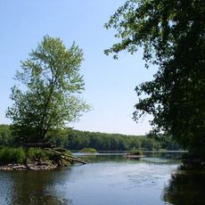
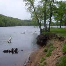
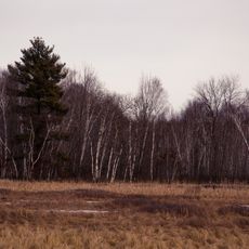
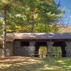
Chisago County is an administrative division in east-central Minnesota with over 100 lakes, including Green Lake and North and South Center Lakes. Forests, farmland, and numerous parks create a landscape that surrounds the Minneapolis-Saint Paul metropolitan region.
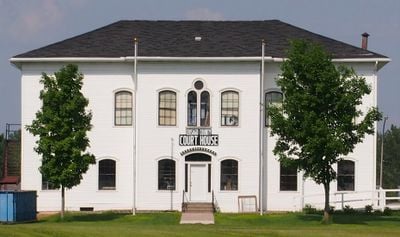
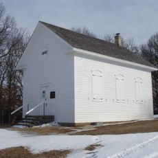
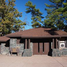
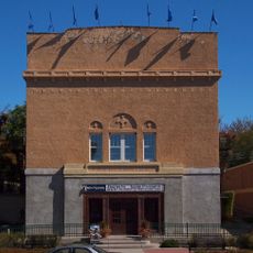
The county was established in 1851, taking its name from Ojibwe words related to Chisago Lake. Center City became the administrative center, and the region developed through agricultural settlement.
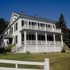
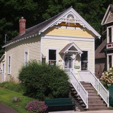
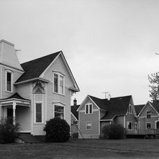
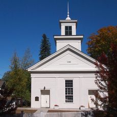
Swedish settlers from the 1800s shaped the area's character, and their influence remains visible in local place names and community traditions. This heritage continues to define how people here connect with the land and each other.
Interstate 35 and U.S. Routes 8 and 61 are the main roads connecting different parts of the county and linking it to Minneapolis and Saint Paul. These highways make it easy to navigate and explore the area at your own pace.
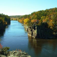
The area is known for its quieter bodies of water that draw people seeking peaceful outdoor activities and wildlife observation. These less-visited lakes offer a different experience compared to more popular destinations nearby.
Location: Minnesota
Inception: September 1, 1851
Capital city: Center City
Elevation above the sea: 260 m
Shares border with: Pine County, Anoka County, Polk County, Washington County, Burnett County, Kanabec County, Isanti County
Website: https://chisagocountymn.gov
GPS coordinates: 45.50247,-92.90834
Latest update: December 7, 2025 19:23
Wild River State Park
14.9 km
Saint Croix National Scenic Riverway
25.4 km
Cedar Creek Ecosystem Science Reserve
25.1 km
Franconia Sculpture Park
20.7 km
Folsom House
22.9 km
Carlos Avery Game Farm
29.4 km
Taylors Falls Public Library
22.8 km
Crescent Grange Hall No. 512
20 km
Johannes Erickson House
30.9 km
Hay Lake School
30.9 km
Moody Barn
22.5 km
Isanti County Courthouse
25.9 km
St. John's Lutheran Church
29.6 km
Center City Historic District
14 km
First Baptist Church
25.6 km
Goose Creek
12.9 km
Osceola and St. Croix Valley Railway
25.8 km
John Copas House
32.3 km
Thomas Henry Thompson House
23.1 km
River Valley Inn & Suites
25.4 km
Interstate State Park WPA/Rustic Style Historic Resources
23.1 km
Interstate Park
23.1 km
Carlos Avery State Wildlife Management Area
25 km
Angel's Hill Historic District
22.8 km
Auditorium Theatre
22.9 km
Rusheba Lookout Tower
21.8 km
Cambridge Lookout Tower
25.6 km
Interstate State Park CCC/WPA/Rustic Style Campground
22.4 kmVisited this place? Tap the stars to rate it and share your experience / photos with the community! Try now! You can cancel it anytime.
Discover hidden gems everywhere you go!
From secret cafés to breathtaking viewpoints, skip the crowded tourist spots and find places that match your style. Our app makes it easy with voice search, smart filtering, route optimization, and insider tips from travelers worldwide. Download now for the complete mobile experience.
A unique approach to discovering new places❞
— Le Figaro
All the places worth exploring❞
— France Info
A tailor-made excursion in just a few clicks❞
— 20 Minutes