Enable Location

We need your location to show you interesting places around you

Discover nearby places

Find interesting locations and hidden gems around you

Precise directions

Get accurate directions and distances to places

Your location is never shared with other users. It's only used when you tap the location button.

Henderson County

Log in to your account

Start exploring — it's free

Trusted by 61,999 travelers worldwide

Continue with Google
Continue with Apple
or

We will send you a code to connect

By continuing, you accept our Terms and Conditions and our Privacy Policy

Check your inbox

We've sent a pincode in your inbox. Please enter the code below.

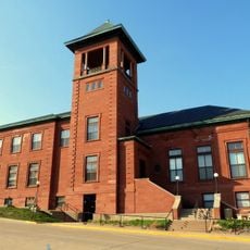
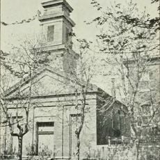
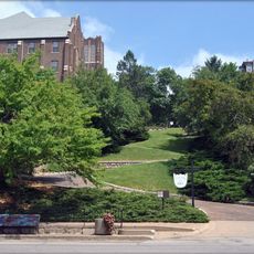
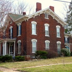
Henderson County, Rural administrative division in western Illinois, United States.

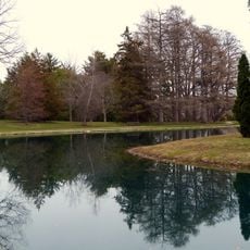
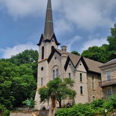
Henderson County is a rural administrative division in western Illinois that stretches across agricultural land. The county includes farms, parks, and natural reserves scattered throughout its landscape.

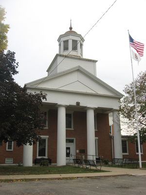
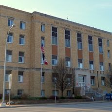
The area was carved out from Knox County in 1841, with Oquawka designated as its county seat. This separation established an independent local government for the growing population.

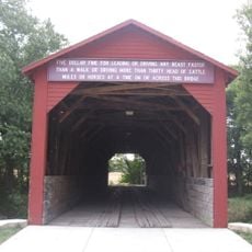
Local communities keep farming traditions alive through seasonal fairs where neighbors gather to celebrate regional crops and rural heritage.

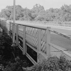
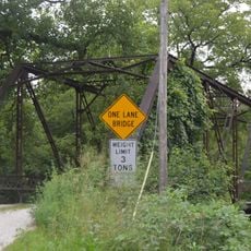
Multiple state routes connect different areas within this rural region to neighboring towns and services. Roads through the county provide access to both local destinations and surrounding communities.

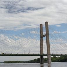
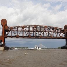
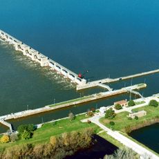
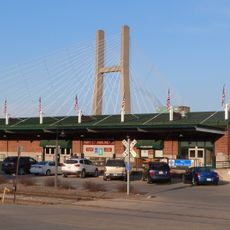
The Mississippi River forms the county's western edge and serves as both a natural boundary and a resource for recreation. Residents and visitors can enjoy fishing and water-based activities along this scenic waterway.

The community of curious travelers

AroundUs brings together thousands of curated places, local tips, and hidden gems, enriched daily by 60,000 contributors worldwide.

Start exploring
GPS coordinates
40.81561,-90.91045
Latest update
December 8, 2025 13:41
Around this place
Great River Bridge
United States of America

Great River Bridge

15.6 km
Community Field
United States of America

Community Field

19.1 km
Burlington Rail Bridge
United States of America

Burlington Rail Bridge

15.4 km
Lock and Dam No. 18
United States of America

Lock and Dam No. 18

12.1 km
Crapo Park
United States of America

Crapo Park

16.7 km
St. Paul's Catholic Church
United States of America

St. Paul's Catholic Church

16.2 km
First Congregational Church
United States of America

First Congregational Church

16.3 km
Capitol Theater
United States of America

Capitol Theater

16.2 km
German Methodist Episcopal Church
United States of America

German Methodist Episcopal Church

16.5 km
Cascade Bridge
United States of America

Cascade Bridge

16.3 km
Des Moines County Court House
United States of America

Des Moines County Court House

16.1 km
Oquawka Wagon Bridge
United States of America

Oquawka Wagon Bridge

9.3 km
Burlington Public Library
United States of America

Burlington Public Library

16.3 km
South Henderson Church
United States of America

South Henderson Church

6.4 km
Heritage Hill Historic District
United States of America

Heritage Hill Historic District

16.3 km
Alexis Phelps House
United States of America

Alexis Phelps House

14.3 km
Christ Episcopal Church
United States of America

Christ Episcopal Church

16.3 km
Snake Alley Historic District
United States of America

Snake Alley Historic District

16.5 km
Hawkeye Creek Bridge
United States of America

Hawkeye Creek Bridge

28.1 km
Downtown Commercial Historic District
United States of America

Downtown Commercial Historic District

16.2 km
Augustus Caesar Dodge House
United States of America

Augustus Caesar Dodge House

16.3 km
Henderson County Courthouse
United States of America

Henderson County Courthouse

13.8 km
Mary Darwin House
United States of America

Mary Darwin House

17.2 km
West Jefferson Street Historic District
United States of America

West Jefferson Street Historic District

16.5 km
Jagger-Churchill House
United States of America

Jagger-Churchill House

16 km
James M. Forney House
United States of America

James M. Forney House

16.4 km
Starker–Leopold Historic District
United States of America

Starker–Leopold Historic District

15.8 km
Abiathar and Nancy White House
United States of America

Abiathar and Nancy White House

16 km
Show the full map
« Henderson County - Rural administrative division in western Illinois, United States » is provided by Around Us (aroundus.com). Images and texts are derived from Wikimedia project under a Creative Commons license. You are allowed to copy, distribute, and modify copies of this page, under the conditions set by the license, as long as this note is clearly visible.

Discover hidden gems everywhere you go!

From secret cafés to breathtaking viewpoints, skip the crowded tourist spots and find places that match your style. Our app makes it easy with voice search, smart filtering, route optimization, and insider tips from travelers worldwide. Download now for the complete mobile experience.

Around Us App Screenshot

A unique approach to discovering new places

Le Figaro

All the places worth exploring

France Info

A tailor-made excursion in just a few clicks

20 Minutes

Around Us
Travel Guide & Maps
Download

Send to your phone

QR Code
1

Open the camera app on your mobile.

2

Point at the QR code with your camera. A notification will appear.

3

Tap the notification to open the link.