Madison County

Log in to your account

AroundUs is a community-driven map of interesting places, built by curious explorers like you. It grows with every review, story, and photo you share.
Connect to save your favorite spots, contribute locations, and create personalized routes.
By continuing, you accept our Terms and Conditions and our Privacy Policy
Add to collection
Map
Suggest a change
Share

Madison County, Administrative division in Illinois, US

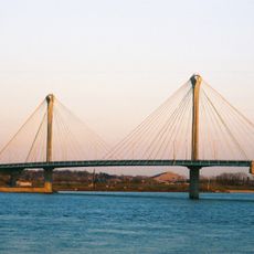
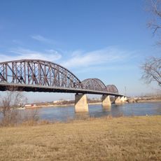
Madison County is an administrative division in southwestern Illinois covering both developed areas and farmland. The territory spans from the Mississippi River eastward and includes urban centers, smaller towns, and countryside with diverse terrain.

The county was established in 1812 and named after President James Madison. Over the next century, it grew from a frontier region into a center for river commerce and later industrial development.

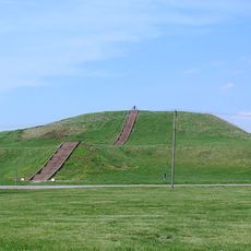
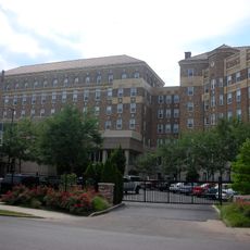
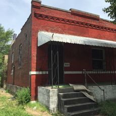
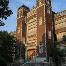
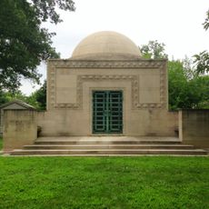
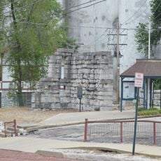
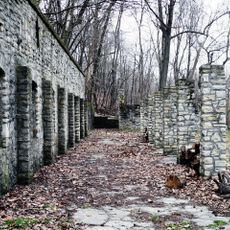
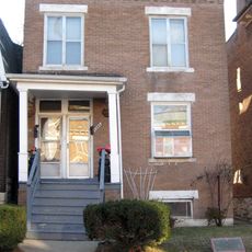
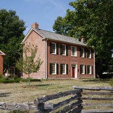
The region shows layers of settlement from pioneer times through industrial growth, visible in how towns are arranged and how people still work the land today. You can walk through older neighborhoods and see how communities adapted as work shifted from farming to factories and trade.

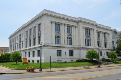
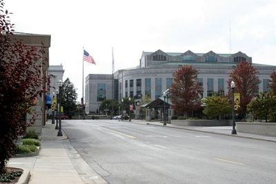
The county seat in Edwardsville offers basic services and information for visitors exploring the region. Spring and fall offer the most pleasant weather for traveling through the varied landscapes and visiting different communities.

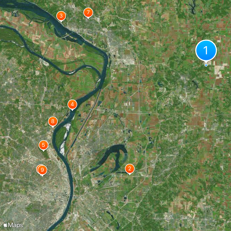
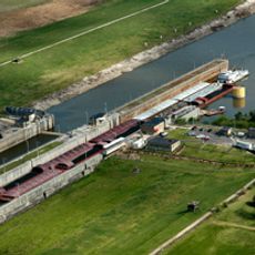
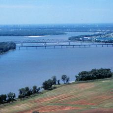
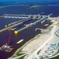
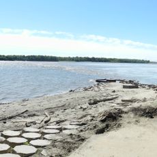
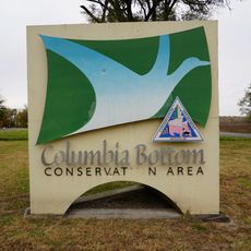
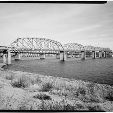
The region contains part of a scenic route along a rare geographical point where three major rivers meet. The convergence of the Mississippi, Missouri, and Illinois rivers creates a distinctive landscape that draws attention from travelers interested in river systems.

Location: Illinois

Inception: September 14, 1812

Capital city: Edwardsville

Shares border with: Macoupin County, Clinton County, St. Clair County, Montgomery County, Bond County, St. Louis, Jersey County, St. Louis County, St. Charles County

Website: http://co.madison.il.us

GPS coordinates: 38.83000,-89.91000

Latest update: December 6, 2025 21:29

Photos
Around this place
Show the full map
Monks Mound
United States of America

Monks Mound

23 km
Piasa
United States of America

Piasa

26.2 km
Chain of Rocks Bridge
United States of America

Chain of Rocks Bridge

24.4 km
Alton Museum of History and Art
United States of America

Alton Museum of History and Art

21.9 km
Cementland
United States of America

Cementland

28.6 km
Chain of Rocks Lock
United States of America

Chain of Rocks Lock

27.4 km
Chuck Berry House
United States of America

Chuck Berry House

33.5 km
Clark Bridge
United States of America

Clark Bridge

24 km
McKinley Bridge
United States of America

McKinley Bridge

30 km
Brooks Catsup Bottle Water Tower
United States of America

Brooks Catsup Bottle Water Tower

19.6 km
New Chain of Rocks Bridge
United States of America

New Chain of Rocks Bridge

24 km
Wainwright Tomb
United States of America

Wainwright Tomb

31.5 km
Alton Military Prison
United States of America

Alton Military Prison

25.3 km
Melvin Price Locks and Dam
United States of America

Melvin Price Locks and Dam

21.6 km
Jones-Confluence Point State Park
United States of America

Jones-Confluence Point State Park

18.2 km
Grand Avenue Water Tower
United States of America

Grand Avenue Water Tower

31.5 km
Fort Belle Fontaine
United States of America

Fort Belle Fontaine

26.5 km
Old Clark Bridge
United States of America

Old Clark Bridge

24.4 km
Vadalabene Center
United States of America

Vadalabene Center

8.7 km
Shelley House
United States of America

Shelley House

34.2 km
Benjamin Stephenson House
United States of America

Benjamin Stephenson House

4.5 km
Elijah P. Lovejoy Monument
United States of America

Elijah P. Lovejoy Monument

23.2 km
Horseshoe Lake State Park
United States of America

Horseshoe Lake State Park

22.7 km
O'Fallon Park
United States of America

O'Fallon Park

31.6 km
Lock and Dam No. 26
United States of America

Lock and Dam No. 26

24.4 km
Confluence Tower
United States of America

Confluence Tower

16.7 km
Fort Belle Fontaine County Park
United States of America

Fort Belle Fontaine County Park

26.8 km
Horseshoe Lake Mound and Village Site
United States of America

Horseshoe Lake Mound and Village Site

19.6 km
Show the full map
Reviews

Visited this place? Tap the stars to rate it and share your experience / photos with the community! Try now! You can cancel it anytime.

« Madison County - Administrative division in Illinois, US » is provided by Around Us (aroundus.com). Images and texts are derived from Wikimedia project under a Creative Commons license. You are allowed to copy, distribute, and modify copies of this page, under the conditions set by the license, as long as this note is clearly visible.

Discover hidden gems everywhere you go!

From secret cafés to breathtaking viewpoints, skip the crowded tourist spots and find places that match your style. Our app makes it easy with voice search, smart filtering, route optimization, and insider tips from travelers worldwide. Download now for the complete mobile experience.

Around Us App Screenshot

A unique approach to discovering new places

Le Figaro

All the places worth exploring

France Info

A tailor-made excursion in just a few clicks

20 Minutes