Amsterdam, Mohawk Valley city in Montgomery County, United States.
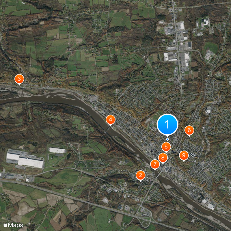
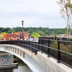
Amsterdam stretches along both banks of the Mohawk River near the Erie Canal, which runs through the town at an elevation of roughly 360 feet (110 meters). Bridges link the northern and southern neighborhoods across the water, while residential areas and business centers spread along the shores.
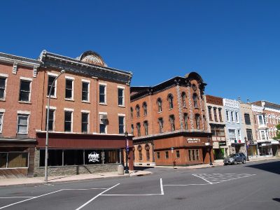
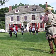
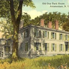
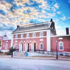
Dutch colonists founded the settlement around 1710 and first called it Veeders Mills, before it gained formal status under its current name in 1830. Industrial expansion in the 19th century drew workers from across Europe and transformed the former trading village into a regional center.
The community carries the name of a Dutch city and reflects European roots reaching back to early colonial times. Local festivals and traditional gatherings still show connections to families who came from Ireland, Italy and other European regions.
Highway segments including State Route 5, 30 and 67 pass through town and provide connections to neighboring areas in the Mohawk Valley. Amtrak stops at the local station and offers trips east and west along the main line.
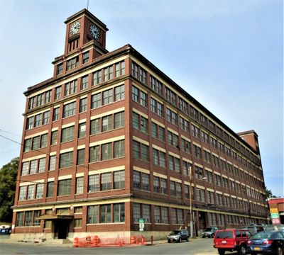
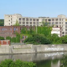
The Sanford Clock Tower rises from a former mill building and has been converted into a business complex with shops and offices. Visitors can see the tower from the riverbank and watch it shape the skyline above downtown.
Location: Montgomery County
Inception: 1710
Elevation above the sea: 110 m
Shares border with: Amsterdam, Florida
Website: https://amsterdamny.gov
GPS coordinates: 42.94330,-74.19030
Latest update: December 4, 2025 23:42
Schoharie Creek Bridge collapse
7.3 km
National Shrine of the North American Martyrs
9.3 km
Caughnawaga Indian Village Site
16.6 km
Schoharie Crossing State Historic Site
7.8 km
Mabee House
15.5 km
Old Fort Johnson
4.5 km
Tryon County Jail
16.1 km
Guy Park
1.7 km
Knox Mansion
16.3 km
Greene Mansion
370 m
Amsterdam City Hall
5.9 km
Saint Stanislaus Roman Catholic Church Complex
619 m
Mohawk Valley Gateway Overlook pedestrian bridge
929 m
Gloversville Free Library
17.2 km
Chalmers Knitting Mills
1 km
Fulton County Courthouse
16.7 km
Log Cabin Church
13.9 km
Downtown Gloversville Historic District
17.4 km
Guy Park Avenue School
1.7 km
West Charlton United Presbyterian Church
13.4 km
Temple of Israel
560 m
Gray-Jewett House
1.3 km
Gloversville Armory
17.1 km
First Baptist Church
16.5 km
Gustav Levor House
17.4 km
Vrooman Avenue School
1.5 km
Mariaville Historic District
13.6 km
Glen Historic District
13.5 kmVisited this place? Tap the stars to rate it and share your experience / photos with the community! Try now! You can cancel it anytime.
Discover hidden gems everywhere you go!
From secret cafés to breathtaking viewpoints, skip the crowded tourist spots and find places that match your style. Our app makes it easy with voice search, smart filtering, route optimization, and insider tips from travelers worldwide. Download now for the complete mobile experience.
A unique approach to discovering new places❞
— Le Figaro
All the places worth exploring❞
— France Info
A tailor-made excursion in just a few clicks❞
— 20 Minutes