Montgomery County

Log in to your account

AroundUs is a community-driven map of interesting places, built by curious explorers like you. It grows with every review, story, and photo you share.
Connect to save your favorite spots, contribute locations, and create personalized routes.
By continuing, you accept our Terms and Conditions and our Privacy Policy
Add to collection
Map
Suggest a change
Share

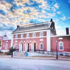
Montgomery County, Administrative division in Maryland, United States.

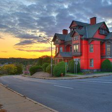
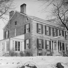
Montgomery County is an administrative area in New York State located near Washington D.C., characterized by rolling landscape and multiple communities of varying sizes. The territory includes several smaller towns alongside more developed urban and suburban areas that form an interconnected region.

The county was established in 1776 and named after General Richard Montgomery, an important figure in the American Revolutionary War. It was created from land that previously belonged to Frederick County.

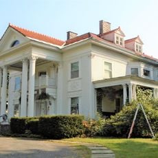
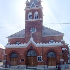
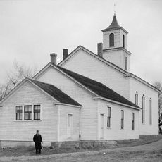
The county's population practices many different religions, and you can see this in neighborhoods and communities throughout the area. Houses of worship representing various faiths are scattered across the region, reflecting how diverse the people who live here are.

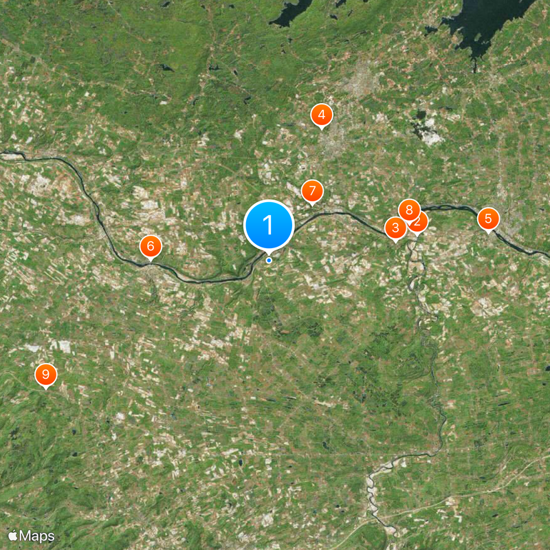
The county contains several distinct areas and communities spread across the region, so planning your route helps with navigation. Various services and facilities are available at different locations throughout the territory, making it useful to know your destination in advance.

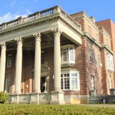
Major research centers like the National Institutes of Health and the Food and Drug Administration operate from locations within the county. This concentration of federal research facilities gives the area a distinct role in scientific work across the nation.

Location: New York

Inception: March 12, 1772

Capital city: Fonda

Shares border with: Fulton County, Saratoga County, Schenectady County, Schoharie County, Otsego County, Herkimer County

Website: http://co.montgomery.ny.us

GPS coordinates: 42.91000,-74.44000

Latest update: December 6, 2025 22:09

Photos
Around this place
Show the full map
Schoharie Creek Bridge collapse
United States of America

Schoharie Creek Bridge collapse

13.4 km
National Shrine of the North American Martyrs
United States of America

National Shrine of the North American Martyrs

11.4 km
Johnson Hall State Historic Site
United States of America

Johnson Hall State Historic Site

12.7 km
Webster Wagner House
United States of America

Webster Wagner House

10.6 km
Caughnawaga Indian Village Site
United States of America

Caughnawaga Indian Village Site

6.3 km
Schoharie Crossing State Historic Site
United States of America

Schoharie Crossing State Historic Site

13 km
The Tepee
United States of America

The Tepee

23 km
Old Fort Johnson
United States of America

Old Fort Johnson

17 km
Fort Klock
United States of America

Fort Klock

19.1 km
Tryon County Jail
United States of America

Tryon County Jail

11.8 km
Guy Park
United States of America

Guy Park

19.2 km
Arkell Museum
United States of America

Arkell Museum

10.8 km
Knox Mansion
United States of America

Knox Mansion

11.4 km
Greene Mansion
United States of America

Greene Mansion

20.6 km
Amsterdam City Hall
United States of America

Amsterdam City Hall

14.8 km
Reformed Dutch Church of Stone Arabia
United States of America

Reformed Dutch Church of Stone Arabia

10.2 km
American Hotel
United States of America

American Hotel

19.4 km
George Landis Arboretum
United States of America

George Landis Arboretum

19.7 km
Saint Stanislaus Roman Catholic Church Complex
United States of America

Saint Stanislaus Roman Catholic Church Complex

21.3 km
West Hill School
United States of America

West Hill School

10.9 km
Van Alstyne House
United States of America

Van Alstyne House

10.9 km
Mohawk Valley Gateway Overlook pedestrian bridge
United States of America

Mohawk Valley Gateway Overlook pedestrian bridge

20.2 km
Frey House
United States of America

Frey House

11.8 km
Ames Academy Building
United States of America

Ames Academy Building

15.4 km
Chalmers Knitting Mills
United States of America

Chalmers Knitting Mills

20.1 km
Sharon Springs Historic District
United States of America

Sharon Springs Historic District

19.4 km
Fulton County Courthouse
United States of America

Fulton County Courthouse

12 km
Log Cabin Church
United States of America

Log Cabin Church

19.1 km
Show the full map
Reviews

Visited this place? Tap the stars to rate it and share your experience / photos with the community! Try now! You can cancel it anytime.

« Montgomery County - Administrative division in Maryland, United States » is provided by Around Us (aroundus.com). Images and texts are derived from Wikimedia project under a Creative Commons license. You are allowed to copy, distribute, and modify copies of this page, under the conditions set by the license, as long as this note is clearly visible.

Discover hidden gems everywhere you go!

From secret cafés to breathtaking viewpoints, skip the crowded tourist spots and find places that match your style. Our app makes it easy with voice search, smart filtering, route optimization, and insider tips from travelers worldwide. Download now for the complete mobile experience.

Around Us App Screenshot

A unique approach to discovering new places

Le Figaro

All the places worth exploring

France Info

A tailor-made excursion in just a few clicks

20 Minutes