Schuyler County

Log in to your account

AroundUs is a community-driven map of interesting places, built by curious explorers like you. It grows with every review, story, and photo you share.
Connect to save your favorite spots, contribute locations, and create personalized routes.
Continue with Google
Continue with Apple
Continue with X
Continue with Facebook
Continue with email
By continuing, you accept our Terms and Conditions and our Privacy Policy
Create an account
Add to collection
Map
Suggest a change
Share

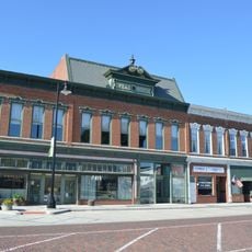
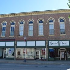
Schuyler County, Administrative division in West Central Illinois, United States

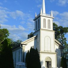
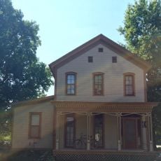
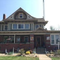
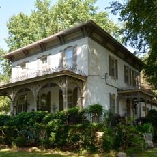
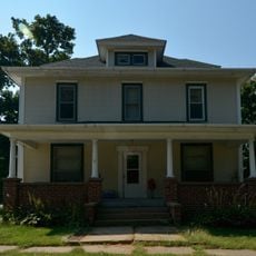
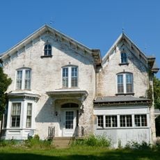
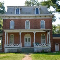
Schuyler County is an administrative division in West Central Illinois comprising agricultural lands, small towns, and roads connecting thirteen townships. The area is primarily rural with dispersed settlement patterns.

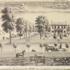
The county was established in 1825 and named after Philip Schuyler, a Major General from 18th-century conflicts. Its founding coincided with the early settlement period of the American Midwest.

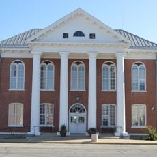
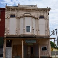
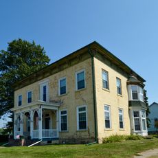
The Schuyler Jail Museum in Rushville displays exhibits about pioneer life and the early settlement of the region. Visitors can explore the stories of the county's first residents through its collections.

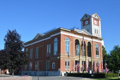
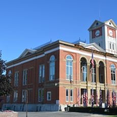
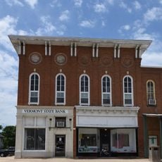
The County Clerk's office in Rushville handles vital records, elections, and property taxes while offering passport application services. Check office hours before visiting to address any official document needs.

Marriage records have been continuously kept since the county's 1825 establishment, while birth records only began in 1877. This archive makes the area valuable for genealogical research.

Location: Illinois

Inception: 1825

Capital city: Rushville

Shares border with: Hancock County, McDonough County, Fulton County, Mason County, Cass County, Brown County, Adams County

Website: http://schuylercountyillinois.com

GPS coordinates: 40.16000,-90.61000

Latest update: December 8, 2025 13:43

Photos
Around this place
La Grange Lock and Dam
United States of America

La Grange Lock and Dam

25.2 km
Sanganois State Fish and Wildlife Area
United States of America

Sanganois State Fish and Wildlife Area

24.2 km
Mount Sterling Commercial Historic District
United States of America

Mount Sterling Commercial Historic District

23.4 km
Phoenix Opera House Block
United States of America

Phoenix Opera House Block

6 km
Beardstown Grand Opera House
United States of America

Beardstown Grand Opera House

21.8 km
Bernadotte Bridge
United States of America

Bernadotte Bridge

36.6 km
Brown County Courthouse
United States of America

Brown County Courthouse

23.3 km
Robert Dilworth House
United States of America

Robert Dilworth House

22 km
Table Grove Community Church
United States of America

Table Grove Community Church

27.9 km
Harvey Lee Ross House
United States of America

Harvey Lee Ross House

21.1 km
Vermont Masonic Hall
United States of America

Vermont Masonic Hall

21.6 km
Schuyler County Courthouse
United States of America

Schuyler County Courthouse

5.9 km
Lucinda Hunter House
United States of America

Lucinda Hunter House

21.3 km
Henry H. Page House
United States of America

Henry H. Page House

21.8 km
William Franklin and Rebecca Durell House
United States of America

William Franklin and Rebecca Durell House

21.2 km
Edith Chipman House
United States of America

Edith Chipman House

21.5 km
Daniel O'Connell House
United States of America

Daniel O'Connell House

21.7 km
William Hoopes House
United States of America

William Hoopes House

21.6 km
Joab Mershon House
United States of America

Joab Mershon House

21.1 km
Welling-Everly Horse Barn
United States of America

Welling-Everly Horse Barn

31.1 km
South Fulton Churchhouse
United States of America

South Fulton Churchhouse

22.7 km
Edward Hamer House
United States of America

Edward Hamer House

21.6 km
Elsworth Snowden House
United States of America

Elsworth Snowden House

21.3 km
Patterson Hamer House
United States of America

Patterson Hamer House

21.2 km
Vermont Historic District
United States of America

Vermont Historic District

21.6 km
Charles Emmor McCormick House
United States of America

Charles Emmor McCormick House

21.2 km
Stapleford-Hoover-Whitney House
United States of America

Stapleford-Hoover-Whitney House

21.8 km
John Roy Site
United States of America

John Roy Site

33 km
Show the full map
Reviews

Visited this place? Tap the stars to rate it and share your experience / photos with the community! Try now! You can cancel it anytime.

« Schuyler County - Administrative division in West Central Illinois, United States » is provided by Around Us (aroundus.com). Images and texts are derived from Wikimedia project under a Creative Commons license. You are allowed to copy, distribute, and modify copies of this page, under the conditions set by the license, as long as this note is clearly visible.

Discover hidden gems everywhere you go!

From secret cafés to breathtaking viewpoints, skip the crowded tourist spots and find places that match your style. Our app makes it easy with voice search, smart filtering, route optimization, and insider tips from travelers worldwide. Download now for the complete mobile experience.

Around Us App Screenshot

A unique approach to discovering new places

Le Figaro

All the places worth exploring

France Info

A tailor-made excursion in just a few clicks

20 Minutes