Jessamine County, Administrative division in central Kentucky, United States
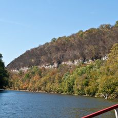
Jessamine County is an administrative region in central Kentucky with Nicholasville as its county seat and a mix of urban and rural character. The area spans multiple communities and features the Kentucky River as a defining natural boundary.
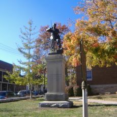
The county was established in 1798 when pioneers from Virginia migrated into the area and established settlements. These founding years shaped the region's structure and development.
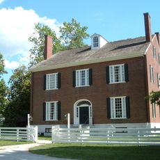
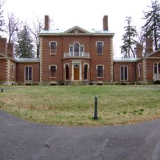
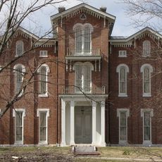
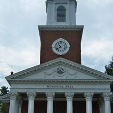
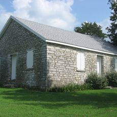
The county's name comes from a toxic plant that early settlers encountered throughout the region. Communities here have shaped the area over generations, and their marks remain visible in how people use and value the land.
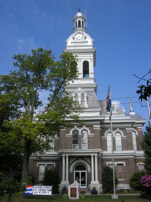
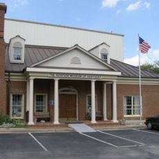
Nicholasville is where to handle administrative matters and serves as the main hub for exploring the area. Spring and fall offer the most pleasant weather for visiting and experiencing what the region has to offer.
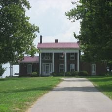
The region was home to one of America's earliest commercial wine-producing operations in the late 1700s. This viticultural past makes it worth noting for anyone interested in how agricultural traditions began in the country.
The community of curious travelers
AroundUs brings together thousands of curated places, local tips, and hidden gems, enriched daily by 60,000 contributors worldwide.