Traverse County

Log in to your account

AroundUs is a community-driven map of interesting places, built by curious explorers like you. It grows with every review, story, and photo you share.
Connect to save your favorite spots, contribute locations, and create personalized routes.
Continue with Google
Continue with Apple
Continue with X
Continue with Facebook
Continue with email
By continuing, you accept our Terms and Conditions and our Privacy Policy
Create an account
Add to collection
Map
Suggest a change
Share

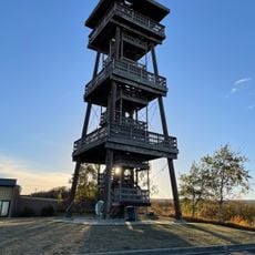
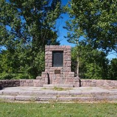
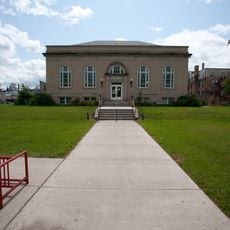
Traverse County, Administrative county in western Minnesota, US

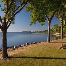
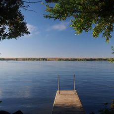
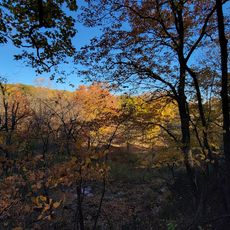
Traverse County is an administrative county in western Minnesota featuring rolling terrain and farmland. The Mustinka River runs through the northern section, creating a natural water feature across the landscape.

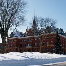
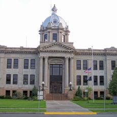
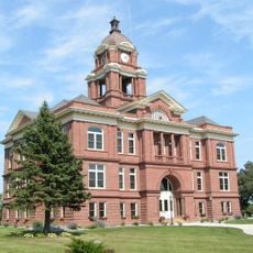
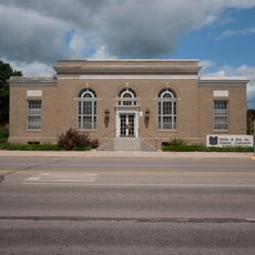
The county was created in 1862, but official settlement and administration did not begin until 1881 with Wheaton established as the county seat. This gap between creation and active settlement reflected patterns common across rural Minnesota.

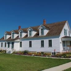
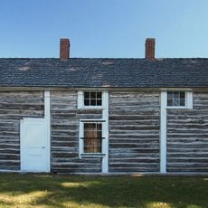
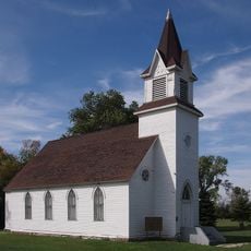
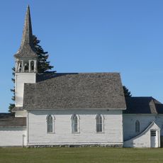
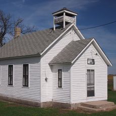
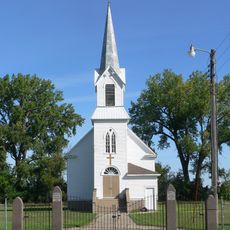
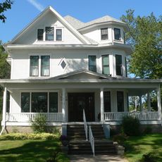
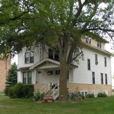
Farming traditions shape how residents live and work throughout the area, visible in the scattered farms and small towns that dot the landscape. These practices connect people to the land and influence the rhythm of community life.

This sparsely populated area requires a personal vehicle or public transit to travel between communities. The Rainbow Rider transportation service operates throughout the county and neighboring regions to support daily travel needs.

This is one of Minnesota's least densely populated areas with just a few thousand residents spread across a large territory. The Reservation Dam State Wildlife Management Area along the western boundary provides habitat for wildlife and migratory birds.

Location: Minnesota

Inception: February 20, 1862

Capital city: Wheaton

Shares border with: Wilkin County, Big Stone County, Grant County, Stevens County, Richland County, Roberts County

Website: http://co.traverse.mn.us

GPS coordinates: 45.77000,-96.47000

Latest update: December 10, 2025 15:52

Photos
Around this place
Big Stone Lake
United States of America

Big Stone Lake

41.9 km
Big Stone Lake State Park
United States of America

Big Stone Lake State Park

43.3 km
Frederick A. and Sophia Bagg Bonanza Farm
United States of America

Frederick A. and Sophia Bagg Bonanza Farm

61.9 km
Sam Brown Memorial State Wayside
United States of America

Sam Brown Memorial State Wayside

34.8 km
Park Region Luther College
United States of America

Park Region Luther College

63.9 km
Wilkin County Courthouse
United States of America

Wilkin County Courthouse

55.3 km
Richland County Courthouse
United States of America

Richland County Courthouse

56.4 km
Stiklestad United Lutheran Church
United States of America

Stiklestad United Lutheran Church

45.6 km
Zoar Norwegian Lutheran Church
United States of America

Zoar Norwegian Lutheran Church

64.9 km
District No. 44 School
United States of America

District No. 44 School

25.7 km
Walla Lutheran Church
United States of America

Walla Lutheran Church

34.2 km
Grant County Courthouse
United States of America

Grant County Courthouse

45.7 km
Browns Valley Carnegie Library
United States of America

Browns Valley Carnegie Library

34.2 km
Morris Carnegie Library
United States of America

Morris Carnegie Library

47.6 km
Lewis H. Stanton House
United States of America

Lewis H. Stanton House

47.1 km
Big Stone County Courthouse
United States of America

Big Stone County Courthouse

51.9 km
Roosevelt Hall
United States of America

Roosevelt Hall

47.8 km
Palestine Evangelical Lutheran Church
United States of America

Palestine Evangelical Lutheran Church

63.8 km
Roberts County Courthouse
United States of America

Roberts County Courthouse

46.2 km
Andrew and Mary Stavig House
United States of America

Andrew and Mary Stavig House

46.9 km
Alberta Teachers House
United States of America

Alberta Teachers House

39.3 km
Wahpeton Post Office
United States of America

Wahpeton Post Office

56 km
Sisseton Carnegie Library
United States of America

Sisseton Carnegie Library

46.4 km
Sica Hollow State Park
United States of America

Sica Hollow State Park

59.1 km
Nicollet Tower & Interpretive Center
United States of America

Nicollet Tower & Interpretive Center

53 km
Graceville Historical Marker
United States of America

Graceville Historical Marker

22.5 km
Leach Public Library
United States of America

Leach Public Library

56.1 km
West Central School of Agriculture and Experiment Station Historic District
United States of America

West Central School of Agriculture and Experiment Station Historic District

48.6 km
Show the full map
Reviews

Visited this place? Tap the stars to rate it and share your experience / photos with the community! Try now! You can cancel it anytime.

« Traverse County - Administrative county in western Minnesota, US » is provided by Around Us (aroundus.com). Images and texts are derived from Wikimedia project under a Creative Commons license. You are allowed to copy, distribute, and modify copies of this page, under the conditions set by the license, as long as this note is clearly visible.

Discover hidden gems everywhere you go!

From secret cafés to breathtaking viewpoints, skip the crowded tourist spots and find places that match your style. Our app makes it easy with voice search, smart filtering, route optimization, and insider tips from travelers worldwide. Download now for the complete mobile experience.

Around Us App Screenshot

A unique approach to discovering new places

Le Figaro

All the places worth exploring

France Info

A tailor-made excursion in just a few clicks

20 Minutes