
Roseau County, Administrative division in northwestern Minnesota, United States.
Roseau County spans 1,678 square miles of land with low rolling hills, agricultural fields, lakes, and woodlands along the Canada-US border.
The county emerged from Kittson County through a petition in 1894, when eastern settlers requested independence due to their distance from the county seat.
The population of 15,331 residents maintains strong connections to Norwegian, German, and Swedish heritage, reflecting the European settlement patterns of the region.
The territory contains two airports, multiple state highways, and several protected natural areas, including Hayes Lake State Park.
The county shares its northern boundary with Canada and features the Piney Pinecreek Border Airport, which serves as an entry point between both countries.
Location: Minnesota
Inception: February 28, 1894
Capital city: Roseau
Shares border with: Piney, Lake of the Woods County, Kittson County, Marshall County, Beltrami County
Website: http://co.roseau.mn.us
GPS coordinates: 48.77000,-95.80000
Latest update: March 18, 2025 14:26
Fort Saint Charles
88.9 km
Lake Bronson State Park
59.2 km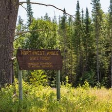
Northwest Angle State Forest
86.9 km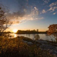
Zippel Bay State Park
69.7 km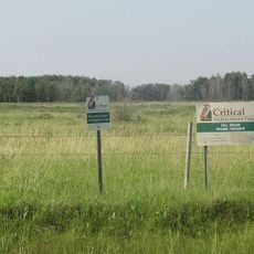
Manitoba Tall Grass Prairie Preserve
58 km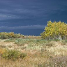
Agassiz National Wildlife Refuge
48 km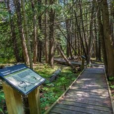
Hayes Lake State Park
27 km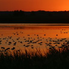
Agassiz Wilderness
47.7 km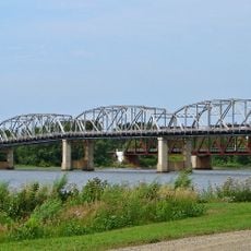
Baudette – Rainy River International Bridge
89 km
St. Malo Provincial Park
102.6 km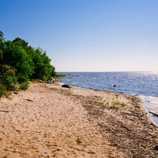
Birch Point Provincial Park
60.7 km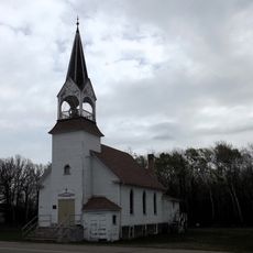
Clearwater Evangelical Lutheran Church
93.7 km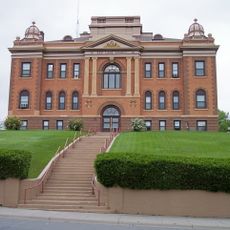
Red Lake County Courthouse
104.6 km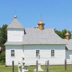
St. Nicholas Orthodox Church
53.2 km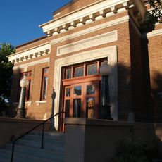
Thief River Falls Public Library
77.9 km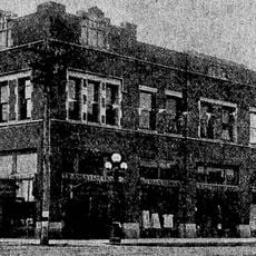
K. J. Taralseth Company
96.1 km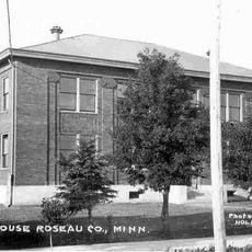
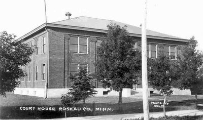
Roseau County Courthouse
8.8 km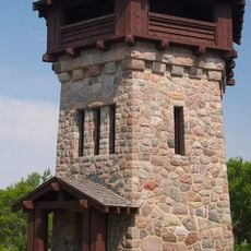
Lake Bronson State Park WPA/Rustic Style Historic Resources
60.6 km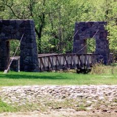
Old Mill State Park WPA/Rustic Style Historic Resources
72.9 km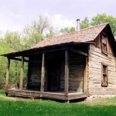
Old Mill State Park
72.7 km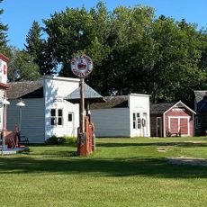
Peder Engelstad Pioneer Village
79 km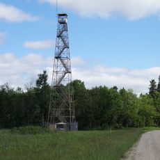
Agassiz Headquarters Fire Observation Tower
54.1 km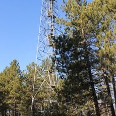
Faunce Lookout Tower
65.2 km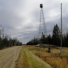
Rapid River Fire Tower
95.4 km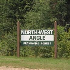
Northwest Angle Provincial Forest
65.7 km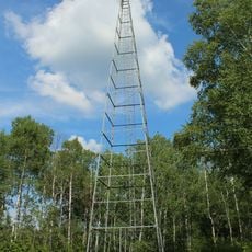
Prosper Lookout Tower
64.1 km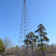
Linder Fire Tower
62.2 km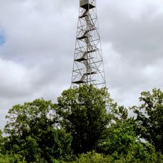
Lawson Lookout Tower
28.6 kmReviews
Visited this place? Tap the stars to rate it and share your experience / photos with the community! Try now! You can cancel it anytime.
Discover hidden gems everywhere you go!
From secret cafés to breathtaking viewpoints, skip the crowded tourist spots and find places that match your style. Our app makes it easy with voice search, smart filtering, route optimization, and insider tips from travelers worldwide. Download now for the complete mobile experience.

A unique approach to discovering new places❞
— Le Figaro
All the places worth exploring❞
— France Info
A tailor-made excursion in just a few clicks❞
— 20 Minutes