Montgomery County

Log in to your account

AroundUs is a community-driven map of interesting places, built by curious explorers like you. It grows with every review, story, and photo you share.
Connect to save your favorite spots, contribute locations, and create personalized routes.
By continuing, you accept our Terms and Conditions and our Privacy Policy
Add to collection
Map
Suggest a change
Share

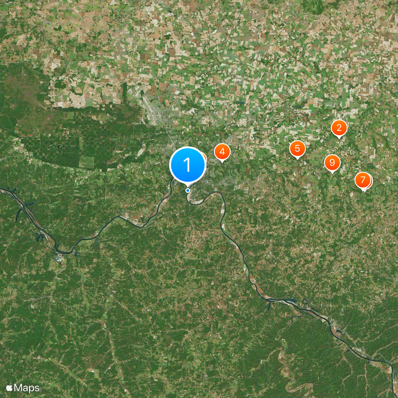
Montgomery County, County in northern Tennessee, United States.

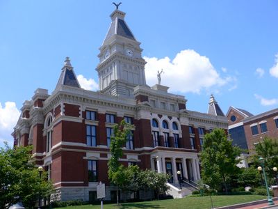
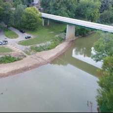
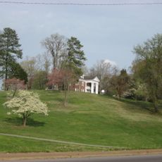
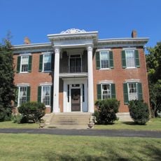
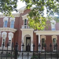
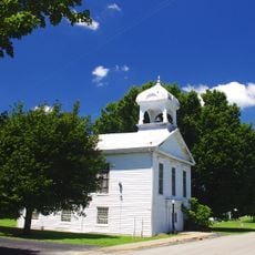
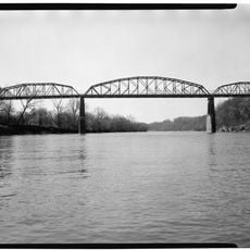
Montgomery County is an administrative division in northern Tennessee that stretches across rolling terrain between the Cumberland River and the Kentucky border. The county encompasses multiple towns and communities, with Clarksville serving as the main administrative hub.

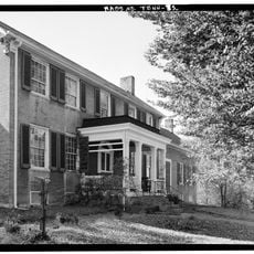
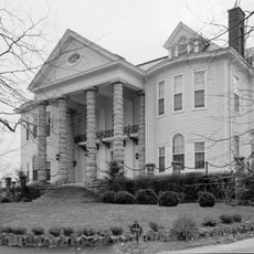
Montgomery County was established on April 9, 1796 by the Tennessee General Assembly and named after John Montgomery, a settler who founded Clarksville. Over two centuries, the region developed into an important administrative and economic center for the northern part of the state.

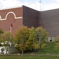
The county contains Fort Campbell military base, which shapes the local community through military families, veterans, and defense-related economic activities.

The area is best explored by car, as various towns are spread throughout farmland and forested areas. Visitors can find shops, restaurants, and public facilities in Clarksville and surrounding communities.

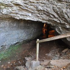
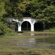
The Land Between the Lakes National Recreation Area extends partly into this county and offers forested landscapes for hiking and exploring. This natural area draws visitors seeking outdoor activities and nature-based recreation.

Location: Tennessee

Inception: April 9, 1796

Capital city: Clarksville

Shares border with: Christian County, Dickson County, Todd County, Robertson County, Cheatham County, Houston County, Stewart County

Website: https://mcgtn.org

GPS coordinates: 36.50000,-87.38000

Latest update: December 7, 2025 10:03

Photos
Around this place
Bell Witch Cave
United States of America

Bell Witch Cave

30.7 km
Highland Rim
United States of America

Highland Rim

34 km
Dunbar Cave State Park
United States of America

Dunbar Cave State Park

8.7 km
Port Royal State Park
United States of America

Port Royal State Park

22 km
Winfield Dunn Center
United States of America

Winfield Dunn Center

4.5 km
Wessyngton
United States of America

Wessyngton

33.7 km
Customs House Museum and Cultural Center
United States of America

Customs House Museum and Cultural Center

3.5 km
Glen Raven
United States of America

Glen Raven

28 km
Guthrie Historic District
United States of America

Guthrie Historic District

25.3 km
Emerald Hill
United States of America

Emerald Hill

3.8 km
Madison Street Methodist Church
United States of America

Madison Street Methodist Church

20.3 km
Tip Top
United States of America

Tip Top

4.7 km
Bethlehem Methodist Church and Cemetery
United States of America

Bethlehem Methodist Church and Cemetery

10 km
Quarry Limekiln
United States of America

Quarry Limekiln

36.1 km
Clarksville Methodist Church
United States of America

Clarksville Methodist Church

3.9 km
V.R. Harris House
United States of America

V.R. Harris House

35.3 km
First Presbyterian Church Manse
United States of America

First Presbyterian Church Manse

3.8 km
Madison Street Historic District
United States of America

Madison Street Historic District

4.4 km
Forbes-Mabry House
United States of America

Forbes-Mabry House

4.3 km
Samuel Rexinger House
United States of America

Samuel Rexinger House

4.3 km
Johnson-Hach House
United States of America

Johnson-Hach House

4 km
Sanford Wilson House
United States of America

Sanford Wilson House

15.9 km
Alfred A. Robb House
United States of America

Alfred A. Robb House

4.4 km
Oak Top
United States of America

Oak Top

4.6 km
Northington-Beach House
United States of America

Northington-Beach House

3.7 km
Lafayette Methodist Church
United States of America

Lafayette Methodist Church

30.7 km
Dunbar Cave
United States of America

Dunbar Cave

9.2 km
John T. Cunningham Memorial Bridge
United States of America

John T. Cunningham Memorial Bridge

330 m
Show the full map
Reviews

Visited this place? Tap the stars to rate it and share your experience / photos with the community! Try now! You can cancel it anytime.

Administrative divisions
« Montgomery County - County in northern Tennessee, United States » is provided by Around Us (aroundus.com). Images and texts are derived from Wikimedia project under a Creative Commons license. You are allowed to copy, distribute, and modify copies of this page, under the conditions set by the license, as long as this note is clearly visible.

Discover hidden gems everywhere you go!

From secret cafés to breathtaking viewpoints, skip the crowded tourist spots and find places that match your style. Our app makes it easy with voice search, smart filtering, route optimization, and insider tips from travelers worldwide. Download now for the complete mobile experience.

Around Us App Screenshot

A unique approach to discovering new places

Le Figaro

All the places worth exploring

France Info

A tailor-made excursion in just a few clicks

20 Minutes