Enable Location

We need your location to show you interesting places around you

Discover nearby places

Find interesting locations and hidden gems around you

Precise directions

Get accurate directions and distances to places

Your location is never shared with other users. It's only used when you tap the location button.

Casey County

Log in to your account

Start exploring — it's free

Trusted by 62,994 travelers worldwide

Continue with Google
Continue with Apple
or

We will send you a code to connect

By continuing, you accept our Terms and Conditions and our Privacy Policy

Check your inbox

We've sent a pincode in your inbox. Please enter the code below.

Discussion Reviews 1 Photos
15k Popularity

Casey County, Administrative county in Kentucky, United States

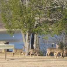
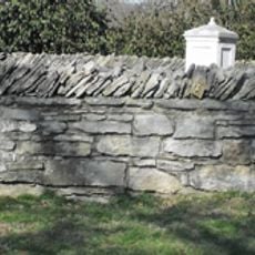
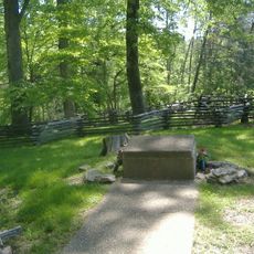
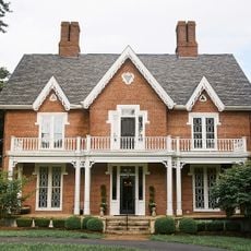
Casey County spreads across central Kentucky with rolling terrain and farmland as its main features. The landscape reflects a rural character shaped by agricultural use and natural geography.

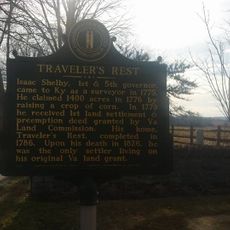
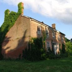
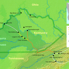
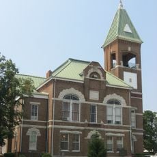
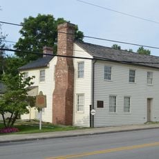
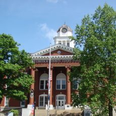
Kentucky created this county in 1806 and named it after an early frontier settler. It developed as a farming community with a local government center in Liberty.

The Casey County News, founded in 1904, documents local events, governmental activities, and community developments through weekly publications for county residents.

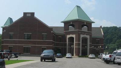
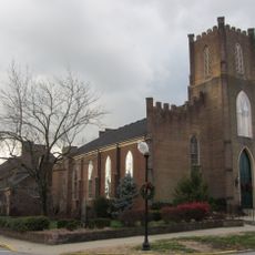
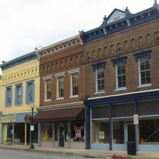
County government operates from Liberty, where you can find administrative services for residents. Spring through fall offers the best time to visit and see the rural landscape at its most active.

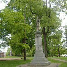
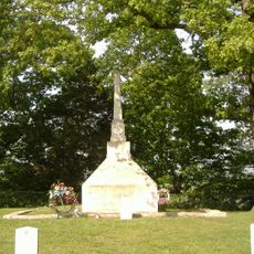
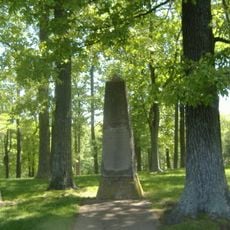
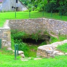
Early settlers left their mark on the land through family names that still appear in property records and local directories. This connection to frontier roots remains woven into the community's sense of place.

The community of curious travelers

AroundUs brings together thousands of curated places, local tips, and hidden gems, enriched daily by 60,000 contributors worldwide.

Start exploring
Location
Inception
November 14, 1806
Capital city
Liberty
Shares border with
Boyle County, Lincoln County, Pulaski County, Russell County, Adair County, Taylor County, Marion County
GPS coordinates
37.32000,-84.93000
Latest update
December 7, 2025 19:32
Around this place
United States of America

Cedar Creek Lake

37.5 km
William Whitley House State Historic Site
United States of America

William Whitley House State Historic Site

37.4 km
Green River Lake State Park
United States of America

Green River Lake State Park

36.2 km
Confederate Monument in Danville
United States of America

Confederate Monument in Danville

38.7 km
Traveler's Rest
United States of America

Traveler's Rest

30.1 km
Mill Springs National Cemetery
United States of America

Mill Springs National Cemetery

32.8 km
Isaac Shelby Cemetery State Historic Site
United States of America

Isaac Shelby Cemetery State Historic Site

30.9 km
Battle of Dutton's Hill Monument
United States of America

Battle of Dutton's Hill Monument

36.7 km
Confederate Mass Grave Monument in Somerset
United States of America

Confederate Mass Grave Monument in Somerset

33.9 km
Elmwood Inn
United States of America

Elmwood Inn

36.6 km
Waveland
United States of America

Waveland

36.8 km
Battle of Tebb's Bend Monument
United States of America

Battle of Tebb's Bend Monument

38.3 km
General Felix K. Zollicoffer Monument
United States of America

General Felix K. Zollicoffer Monument

33.9 km
Logan Trace
United States of America

Logan Trace

36.7 km
First Presbyterian Church
United States of America

First Presbyterian Church

38.7 km
Warrenwood Manor
United States of America

Warrenwood Manor

34.2 km
Campbellsville Historic Commercial District
United States of America

Campbellsville Historic Commercial District

36.7 km
Casey County Courthouse
United States of America

Casey County Courthouse

952 m
Perryville Historic District
United States of America

Perryville Historic District

36.7 km
First Christian Church
United States of America

First Christian Church

31.9 km
Liberty Downtown Historic District
United States of America

Liberty Downtown Historic District

896 m
James W. Alcorn House
United States of America

James W. Alcorn House

33.1 km
Carnegie Library
United States of America

Carnegie Library

38.5 km
Samuel and Mary Logan Briggs House
United States of America

Samuel and Mary Logan Briggs House

33 km
Mill Springs Battlefield Visitor Center and Museum
United States of America

Mill Springs Battlefield Visitor Center and Museum

32.8 km
Kentucky School for the Deaf
United States of America

Kentucky School for the Deaf

38.4 km
Lincoln County Courthouse
United States of America

Lincoln County Courthouse

33.3 km
Star Theater
United States of America

Star Theater

32 km
Show the full map
Reviews
Share your experience

No review yet

Discussions
Start a discussion...

No discussion yet

« Casey County - Administrative county in Kentucky, United States » is provided by Around Us (aroundus.com). Images and texts are derived from Wikimedia project under a Creative Commons license. You are allowed to copy, distribute, and modify copies of this page, under the conditions set by the license, as long as this note is clearly visible.

Discover hidden gems everywhere you go!

From secret cafés to breathtaking viewpoints, skip the crowded tourist spots and find places that match your style. Our app makes it easy with voice search, smart filtering, route optimization, and insider tips from travelers worldwide. Download now for the complete mobile experience.

Around Us App Screenshot

A unique approach to discovering new places

Le Figaro

All the places worth exploring

France Info

A tailor-made excursion in just a few clicks

20 Minutes

Around Us
Travel Guide & Maps
Download

Send to your phone

QR Code
1

Open the camera app on your mobile.

2

Point at the QR code with your camera. A notification will appear.

3

Tap the notification to open the link.