Bell County, County administration center in southeastern Kentucky, United States.
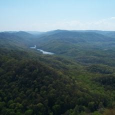
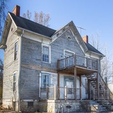
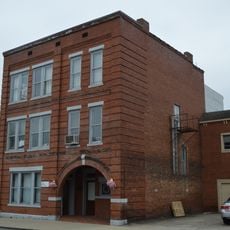
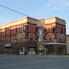
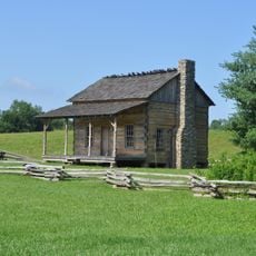
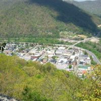
Bell County is an administrative region in Kentucky's Appalachian Mountains, covering forested hills and valleys with two main towns at Middlesboro and Pineville. The landscape shapes daily life here, with winding roads connecting communities through tree-covered terrain and mountain passages.
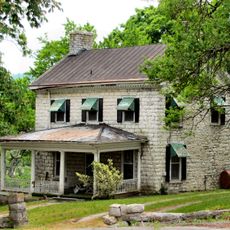
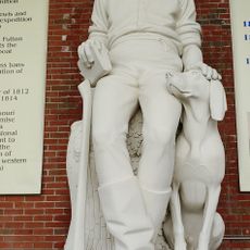
The region was established in 1867 from parts of neighboring counties and named after a former congressman. This founding marked the area's development as a growing Appalachian settlement during the late 1800s.
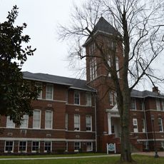
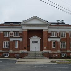
Three separate school districts operate within Bell County, each maintaining its educational traditions while serving different parts of the 24,097-person population.
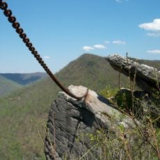
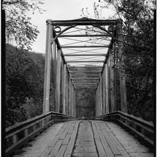
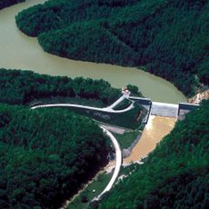
Cumberland Gap National Historical Park and Pine Mountain State Resort Park offer trails and outdoor activities for different ability levels. The mountainous terrain requires proper planning for longer excursions through the hillside areas.
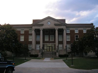
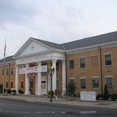
The historic courthouse was destroyed and rebuilt multiple times due to fires and flooding, reflecting its importance to the local community. These events remain part of the region's collective memory.
The community of curious travelers
AroundUs brings together thousands of curated places, local tips, and hidden gems, enriched daily by 60,000 contributors worldwide.