Otsego County, Administrative county in northern Michigan, US
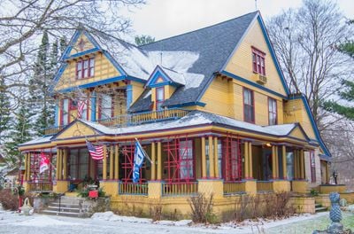
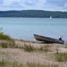
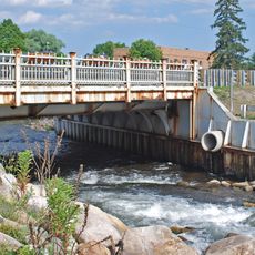
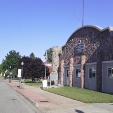
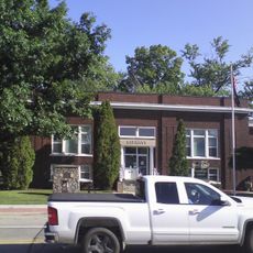
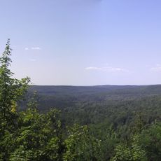
Otsego is an administrative county in northern Michigan that spans a large territory containing numerous lakes and extensive forest areas. The county seat of Gaylord serves as the center for government services and serves residents across the region.
The county was established in 1840 under the name Okkuddo County and renamed in 1843, taking inspiration from a similarly named county in New York. This change reflected the early development of Michigan's administrative organization.
The name Otsego comes from a Native American language and may mean 'place of the rock' or 'meeting place'. You can see this heritage reflected in local place names and how people speak about the land around them.
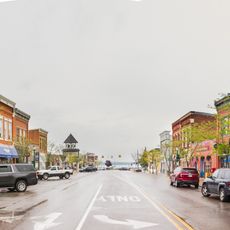
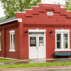
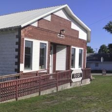
Government offices and administrative services are located in Gaylord, the main city in the region. Local resources such as the twice-weekly newspaper can help visitors understand current events and community information.
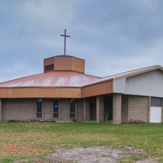
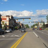
A strong tornado struck Gaylord in May 2022 and changed the downtown area significantly. The aftermath remains visible in the rebuilt structures and landscape of the community.
The community of curious travelers
AroundUs brings together thousands of curated places, local tips, and hidden gems, enriched daily by 60,000 contributors worldwide.