Lawrence County

Log in to your account

AroundUs is a community-driven map of interesting places, built by curious explorers like you. It grows with every review, story, and photo you share.
Connect to save your favorite spots, contribute locations, and create personalized routes.
Continue with Google
Continue with Apple
Continue with X
Continue with Facebook
Continue with email
By continuing, you accept our Terms and Conditions and our Privacy Policy
Create an account
Add to collection
Map
Suggest a change
Share

Lawrence County, County administrative division in eastern Kentucky, United States

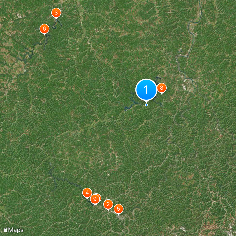
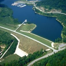
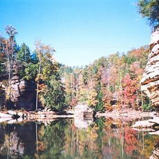
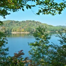
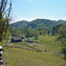
Lawrence County is a county in eastern Kentucky with rolling terrain and the Big Sandy River forming its eastern border with West Virginia. The landscape is heavily forested, and Yatesville Lake creates a large body of water in the center of the area.

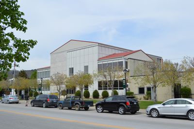
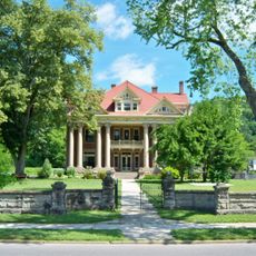
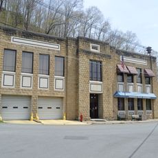
The county was formed in 1821 from parts of Floyd and Greenup Counties, with Louisa designated as its administrative center. This division established the political structure that remains in place today.

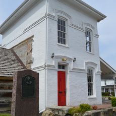
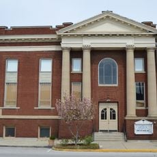
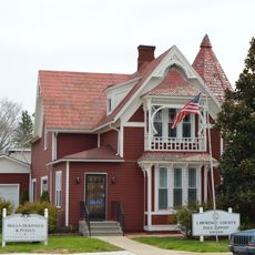
The county maintains four courthouses throughout its territory, serving as centers for governmental operations and community gatherings since 1823.

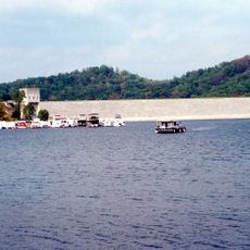
Yatesville Lake State Park offers opportunities for fishing, boating, and outdoor activities in all seasons. Access to these recreational options is available from various points around the lake.

The bridge connecting Louisa to Fort Gay features an unusual T-shaped design that links Kentucky with West Virginia across state lines. This architectural approach is a rare example of a structure serving two states in an unconventional way.

Location: Kentucky

Inception: December 14, 1821

Capital city: Louisa

Shares border with: Wayne County, Martin County, Johnson County, Morgan County, Elliott County, Carter County, Boyd County

Website: http://lawrencecoky.com

GPS coordinates: 38.06000,-82.73000

Latest update: December 20, 2025 02:15

Photos
Around this place
U.S. 23 Country Music Highway Museum
United States of America

U.S. 23 Country Music Highway Museum

27.7 km
Grayson Lake
United States of America

Grayson Lake

30.8 km
Paintsville Lake
United States of America

Paintsville Lake

27.4 km
Mayo Mansion
United States of America

Mayo Mansion

28 km
Grayson Lake State Park
United States of America

Grayson Lake State Park

30.6 km
Paintsville Lake State Park
United States of America

Paintsville Lake State Park

27.5 km
Yatesville Lake State Park
United States of America

Yatesville Lake State Park

4.7 km
Mountain Homeplace
United States of America

Mountain Homeplace

27.8 km
Elliott County Kimberlite
United States of America

Elliott County Kimberlite

24 km
Fred M. Vinson Birthplace
United States of America

Fred M. Vinson Birthplace

12.8 km
David McKenzie Log Cabin
United States of America

David McKenzie Log Cabin

25.4 km
United States of America

Stambaugh Church of Christ

20.1 km
Paintsville City Hall
United States of America

Paintsville City Hall

28 km
First United Methodist Church
United States of America

First United Methodist Church

12.5 km
Louisa United Methodist Church
United States of America

Louisa United Methodist Church

12.8 km
Paintsville Public Library Building
United States of America

Paintsville Public Library Building

28.1 km
Captain Freese House
United States of America

Captain Freese House

12.7 km
United States of America

Van Kitchen House

30.3 km
Louisa Commercial Historic District
United States of America

Louisa Commercial Historic District

12.8 km
United States of America

Yatesville Covered Bridge

10.2 km
Big Sandy Milling Company
United States of America

Big Sandy Milling Company

12.6 km
United States of America

Jeff Bond House

24.9 km
Atkins–Carter House
United States of America

Atkins–Carter House

12.8 km
United States of America

Grayson Lake Wildlife Management Area

28.4 km
United States of America

Eagle Ridge Golf Course

3.3 km
United States of America

Statue, Work of art

9.1 km
United States of America

Statue, Work of art

9.1 km
United States of America

Scenic viewpoint

7.6 km
Show the full map
Reviews

Visited this place? Tap the stars to rate it and share your experience / photos with the community! Try now! You can cancel it anytime.

« Lawrence County - County administrative division in eastern Kentucky, United States » is provided by Around Us (aroundus.com). Images and texts are derived from Wikimedia project under a Creative Commons license. You are allowed to copy, distribute, and modify copies of this page, under the conditions set by the license, as long as this note is clearly visible.

Discover hidden gems everywhere you go!

From secret cafés to breathtaking viewpoints, skip the crowded tourist spots and find places that match your style. Our app makes it easy with voice search, smart filtering, route optimization, and insider tips from travelers worldwide. Download now for the complete mobile experience.

Around Us App Screenshot

A unique approach to discovering new places

Le Figaro

All the places worth exploring

France Info

A tailor-made excursion in just a few clicks

20 Minutes