Manistee County

Log in to your account

AroundUs is a community-driven map of interesting places, built by curious explorers like you. It grows with every review, story, and photo you share.
Connect to save your favorite spots, contribute locations, and create personalized routes.
By continuing, you accept our Terms and Conditions and our Privacy Policy
Add to collection
Map
Suggest a change
Share

Manistee County, Administrative county in Michigan, United States

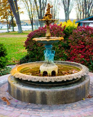
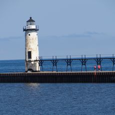
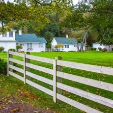
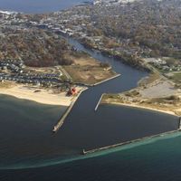
Manistee County stretches across northern Michigan with forests, lakes, and rivers creating a varied natural landscape. The area includes residential communities mixed with open spaces and water systems that shape the region.

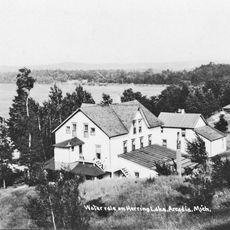
The county was established in 1840, creating a local governance structure that supported lumber and fishing industries. These industries shaped economic growth and settlement patterns across the region for many decades.

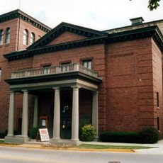
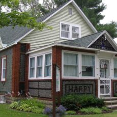
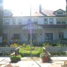
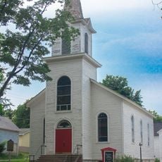
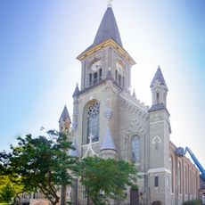
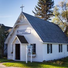
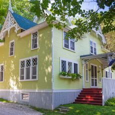
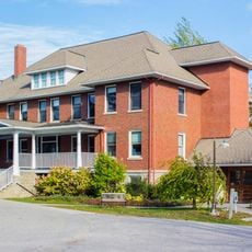
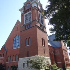
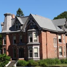
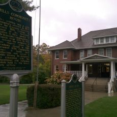
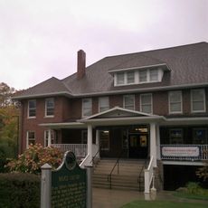
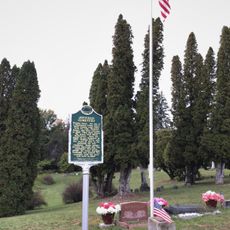
The area preserves Native American heritage through visible sites and shows buildings from different eras that reflect how people lived here over time. Walking through communities, you can see how the past shapes the present landscape.

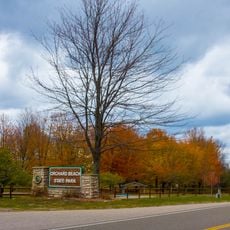
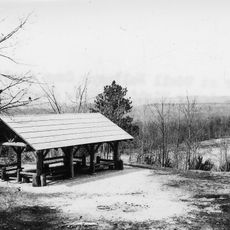
Visitors can access several recreational areas spread throughout the county with designated fishing spots, hiking trails, and seasonal camping options. It helps to learn about local fishing and hiking rules beforehand to plan your visit during the best season.

The county administration works with neighboring Missaukee and Wexford counties through a collaborative system to manage environmental projects together. This cross-boundary approach shows how local governments share resources and planning to protect larger natural areas.

Location: Michigan

Inception: 1840

Capital city: Manistee

Shares border with: Benzie County, Mason County, Grand Traverse County, Wexford County, Lake County, Manitowoc County, Kewaunee County

Website: http://manisteecounty.net

GPS coordinates: 44.30000,-86.31000

Latest update: December 7, 2025 20:41

Photos
Around this place
SS City of Milwaukee
United States of America

SS City of Milwaukee

4.5 km
Orchard Beach State Park
United States of America

Orchard Beach State Park

2.4 km
Watervale
United States of America

Watervale

29.2 km
Ramsdell Theatre
United States of America

Ramsdell Theatre

6.1 km
John J. Makinen Bottle House
United States of America

John J. Makinen Bottle House

25.2 km
Manistee Pierhead lights
United States of America

Manistee Pierhead lights

6.1 km
Udell Lookout Tower
United States of America

Udell Lookout Tower

19.6 km
Camp Arcadia
United States of America

Camp Arcadia

22.5 km
Our Saviour's Evangelical Lutheran Church
United States of America

Our Saviour's Evangelical Lutheran Church

6.3 km
Guardian Angels Church
United States of America

Guardian Angels Church

6.5 km
Chapel of St. John-by-the-Lake
United States of America

Chapel of St. John-by-the-Lake

10.8 km
Camp Tosebo
United States of America

Camp Tosebo

7.7 km
Mills Community House
United States of America

Mills Community House

39.2 km
First Congregational Church
United States of America

First Congregational Church

6.2 km
Manistee Iron Works
United States of America

Manistee Iron Works

5.6 km
Manistee Harbor, South Breakwater
United States of America

Manistee Harbor, South Breakwater

6.3 km
Simeon Babcock House
United States of America

Simeon Babcock House

6.3 km
Sandenburgh-Rogers Summer Resort Complex
United States of America

Sandenburgh-Rogers Summer Resort Complex

7.5 km
Manistee Golf & Country Club
United States of America

Manistee Golf & Country Club

7.3 km
Bottle House Museum
United States of America

Bottle House Museum

25.3 km
Vogue Theatre
United States of America

Vogue Theatre

5.9 km
Benzonia Congregational Church Historical Marker
United States of America

Benzonia Congregational Church Historical Marker

38.9 km
Mills Community House Historical Marker
United States of America

Mills Community House Historical Marker

39.3 km
Betsie Valley District Library
United States of America

Betsie Valley District Library

38 km
Benzonia Public Library
United States of America

Benzonia Public Library

39.2 km
Onekama Branch Library
United States of America

Onekama Branch Library

11.3 km
Udell Rollways Day Use Area
United States of America

Udell Rollways Day Use Area

18.9 km
Joyfield Cemetery Historical Marker
United States of America

Joyfield Cemetery Historical Marker

32.4 km
Show the full map
Reviews

Visited this place? Tap the stars to rate it and share your experience / photos with the community! Try now! You can cancel it anytime.

Administrative divisions
« Manistee County - Administrative county in Michigan, United States » is provided by Around Us (aroundus.com). Images and texts are derived from Wikimedia project under a Creative Commons license. You are allowed to copy, distribute, and modify copies of this page, under the conditions set by the license, as long as this note is clearly visible.

Discover hidden gems everywhere you go!

From secret cafés to breathtaking viewpoints, skip the crowded tourist spots and find places that match your style. Our app makes it easy with voice search, smart filtering, route optimization, and insider tips from travelers worldwide. Download now for the complete mobile experience.

Around Us App Screenshot

A unique approach to discovering new places

Le Figaro

All the places worth exploring

France Info

A tailor-made excursion in just a few clicks

20 Minutes