Enable Location

We need your location to show you interesting places around you

Discover nearby places

Find interesting locations and hidden gems around you

Precise directions

Get accurate directions and distances to places

Your location is never shared with other users. It's only used when you tap the location button.

Robertson County

Log in to your account

Save your favorite places
Create custom travel routes
Rate and review places
Access the full interactive map
Continue with Google
Continue with Apple
Continue with email
By continuing, you accept our Terms and Conditions and our Privacy Policy
Create an account
Add to collection
Map
Suggest a change
Share

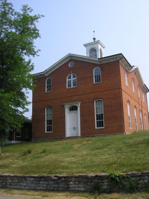
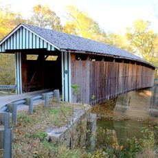
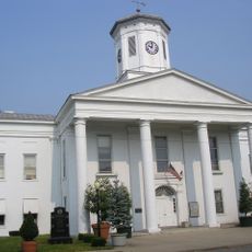
Robertson County, County seat in eastern Kentucky, United States

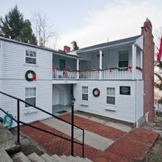
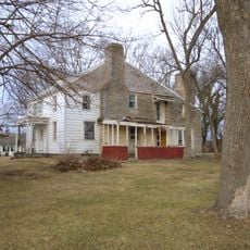
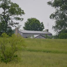
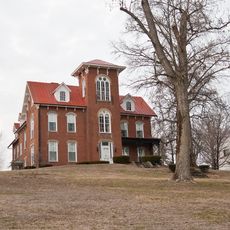
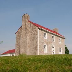
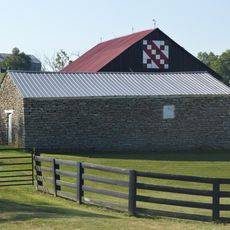
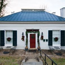
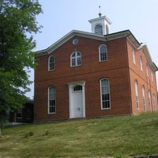
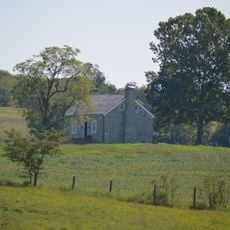
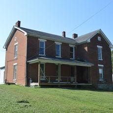
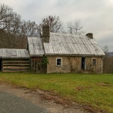
Robertson County sits in the gentle rolling landscapes of eastern Kentucky, composed of farmland, small villages, and country roads spread across several townships. Administrative services and the public library are centered in Mount Olivet, the county seat.

The county was officially established on February 11, 1867, created from sections of neighboring Bracken and Mason counties during Kentucky's post-Civil War reorganization. This period of boundary changes reflected broader efforts to reshape the state's administrative structure.

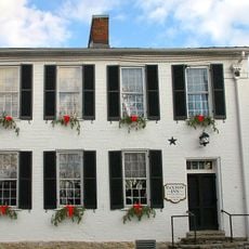
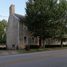
Mount Olivet, the county seat, carries a biblical name reflecting the religious convictions of its early settlers who shaped the region. The name choice shows how faith guided the founding of this rural community.

Mount Olivet is accessible by car via rural highways and offers parking near the administrative offices and public library. Visitors should note that services may have varying hours, so calling ahead is recommended for current operating times.

Mount Olivet was founded with an unusual geometric boundary: the original town area formed a perfect circle centered at the intersection of Main and Walnut streets. This rare approach to town planning from the 1800s remains visible in how the streets radiate from that central point.

Location: Kentucky

Inception: February 11, 1867

Capital city: Mount Olivet

Shares border with: Bracken County, Mason County, Fleming County, Nicholas County, Harrison County

Website: http://robertsoncounty.ky.gov

GPS coordinates: 38.51000,-84.05000

Latest update: December 7, 2025 20:41

Photos
Around this place
John Brett Richeson House
United States of America

John Brett Richeson House

28.7 km
Blue Licks Battlefield State Park
United States of America

Blue Licks Battlefield State Park

10.3 km
Confederate Monument in Cynthiana
United States of America

Confederate Monument in Cynthiana

23.9 km
Colville Covered Bridge
United States of America

Colville Covered Bridge

24.6 km
Johnson Creek Covered Bridge
United States of America

Johnson Creek Covered Bridge

7.1 km
Washington Historic District
United States of America

Washington Historic District

24 km
Forest Retreat
United States of America

Forest Retreat

19.6 km
Spur Gasoline Station
United States of America

Spur Gasoline Station

25.4 km
Confederate Monument in Augusta
United States of America

Confederate Monument in Augusta

29.1 km
Walcott Covered Bridge
United States of America

Walcott Covered Bridge

25.2 km
Church of the Advent, Episcopal
United States of America

Church of the Advent, Episcopal

25.4 km
Bracken Baptist Church
United States of America

Bracken Baptist Church

24.6 km
Newdigate-Reed House
United States of America

Newdigate-Reed House

28.1 km
Thomas Metcalf House
United States of America

Thomas Metcalf House

4.1 km
Point Au View
United States of America

Point Au View

28.4 km
Elizaville Presbyterian Church
United States of America

Elizaville Presbyterian Church

22.1 km
Poague House
United States of America

Poague House

20.2 km
Harrison County Courthouse
United States of America

Harrison County Courthouse

25.4 km
May's Lick Negro School
United States of America

May's Lick Negro School

18.4 km
Stone Barn on Brushy Creek
United States of America

Stone Barn on Brushy Creek

20 km
Henry Perviance Peers House
United States of America

Henry Perviance Peers House

28.8 km
Robertson County Courthouse
United States of America

Robertson County Courthouse

2.7 km
William Mathers House
United States of America

William Mathers House

22.1 km
Erasmus Riggs House
United States of America

Erasmus Riggs House

27.2 km
Thomas A. Dorsey Farmhouse
United States of America

Thomas A. Dorsey Farmhouse

22.4 km
Ben Moran House
United States of America

Ben Moran House

26.7 km
McKee-Vimont Row Houses
United States of America

McKee-Vimont Row Houses

25.1 km
Covered Bridge over the South Fork of Licking River
United States of America

Covered Bridge over the South Fork of Licking River

25.6 km
Show the full map
Reviews

Visited this place? Tap the stars to rate it and share your experience / photos with the community! Try now! You can cancel it anytime.

« Robertson County - County seat in eastern Kentucky, United States » is provided by Around Us (aroundus.com). Images and texts are derived from Wikimedia project under a Creative Commons license. You are allowed to copy, distribute, and modify copies of this page, under the conditions set by the license, as long as this note is clearly visible.

Discover hidden gems everywhere you go!

From secret cafés to breathtaking viewpoints, skip the crowded tourist spots and find places that match your style. Our app makes it easy with voice search, smart filtering, route optimization, and insider tips from travelers worldwide. Download now for the complete mobile experience.

Around Us App Screenshot

A unique approach to discovering new places

Le Figaro

All the places worth exploring

France Info

A tailor-made excursion in just a few clicks

20 Minutes