Perry County, County division in Eastern Kentucky, US
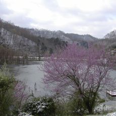
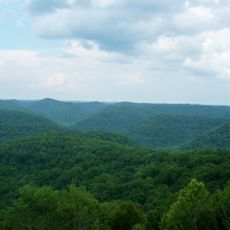
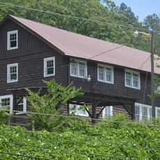
Perry County is an administrative division in eastern Kentucky's Appalachian region, shaped by rolling hills and valleys. The North Fork Kentucky River flows through its landscape alongside forested areas.
The county was established in 1820 and named after a naval officer who served during the War of 1812. This creation marked part of Kentucky's early expansion and administrative organization.
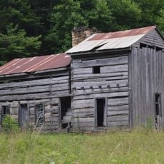
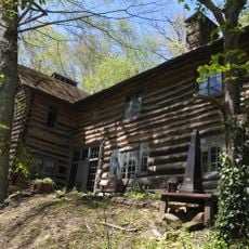
The region is deeply rooted in Appalachian traditions, with music, crafts, and storytelling woven into daily life. These customs are kept alive through local gatherings and community events where people share their skills and heritage.
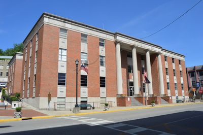
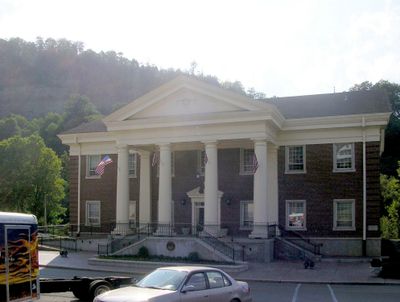
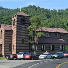
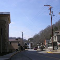
County services are centered in Hazard, where the courthouse handles administrative matters for residents. Visitors should know that rural areas are spread out, so travel times between locations can be longer than expected.
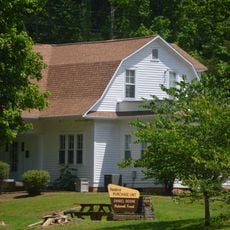
The area focuses on local conservation efforts that protect watersheds and forest lands. This work shows how the community values safeguarding its natural surroundings.
The community of curious travelers
AroundUs brings together thousands of curated places, local tips, and hidden gems, enriched daily by 60,000 contributors worldwide.