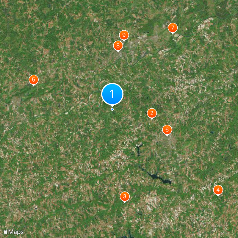
Rockingham County, County in North Carolina, United States
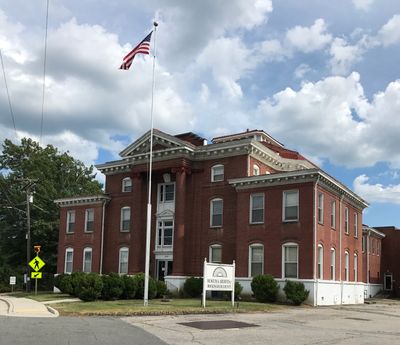
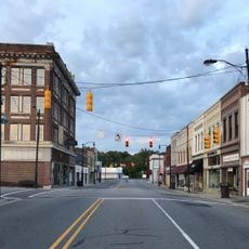
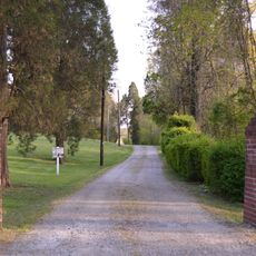
Rockingham County is an administrative region in North Carolina with rolling terrain and multiple rivers flowing through its area. The county seat of Wentworth serves as the governmental center where official business is conducted.
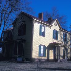
Established in 1785, the county grew from colonial settlements into an organized administrative area. Its framework has shaped local governance and community development throughout the region's history.
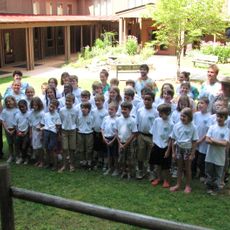
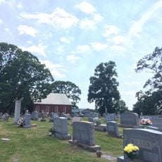
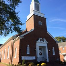
The county hosts seasonal festivals and community events where residents gather to celebrate local traditions and share their heritage. These gatherings reflect how people in the region maintain connection to their land and way of life.
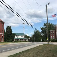
The Justice Center in Wentworth handles governmental matters for county residents and visitors seeking administrative services. It is best to explore this region with personal transportation since destinations are spread across a wide area.
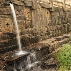
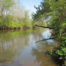
Four different rivers define the county's borders: the Dan, Mayo, Smith, and Haw rivers. These waterways create natural divisions and are visible features as people travel through the landscape.
The community of curious travelers
AroundUs brings together thousands of curated places, local tips, and hidden gems, enriched daily by 60,000 contributors worldwide.