Price County

Log in to your account

AroundUs is a community-driven map of interesting places, built by curious explorers like you. It grows with every review, story, and photo you share.
Connect to save your favorite spots, contribute locations, and create personalized routes.
Continue with Google
Continue with Apple
Continue with X
Continue with Facebook
Continue with email
By continuing, you accept our Terms and Conditions and our Privacy Policy
Create an account
Add to collection
Map
Suggest a change
Share

Price County, Administrative county in Wisconsin, United States.

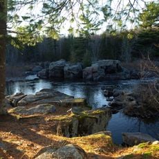
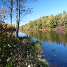
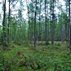
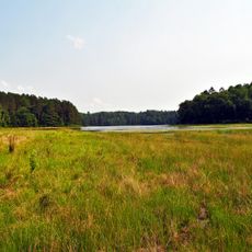
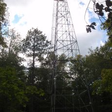
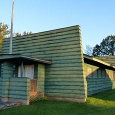
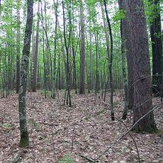
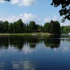
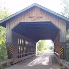
Price County is an administrative county in northern Wisconsin with forests, rivers, and numerous lakes spread throughout. The landscape is defined by these natural features that cover the area.

The county was established in 1879 and named after William T. Price, a logger and former president of the Wisconsin Senate. The region grew through the timber industry, which shaped its early development.

German, Norwegian, Swedish, Polish, Irish, and Czech traditions shape how people in this area celebrate and gather together throughout the year. You can see these influences in the way communities organize festivals and maintain their customs.

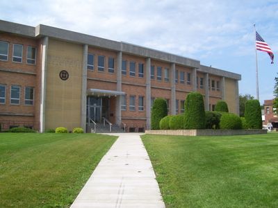
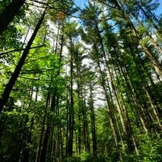
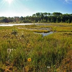
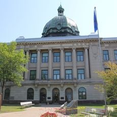
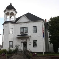
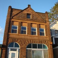
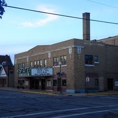
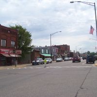
The area is heavily forested and filled with lakes, so plan for outdoor activities and bring appropriate gear. Local governance is based in Phillips, where you can find information about the county.

Timms Hill, located within the county, is the highest natural point in Wisconsin. This peak offers hikers a quiet spot away from crowded destinations.

Location: Wisconsin

Inception: 1879

Capital city: Phillips

Shares border with: Ashland County, Iron County, Vilas County, Oneida County, Lincoln County, Taylor County, Rusk County, Sawyer County

Website: http://co.price.wi.us

GPS coordinates: 45.68000,-90.36000

Latest update: December 7, 2025 20:26

Photos
Around this place
Grandfather Falls
United States of America

Grandfather Falls

60.7 km
Lidice Memorial
United States of America

Lidice Memorial

4 km
United States of America

Northern Highland-American Legion State Forest

68.4 km
Council Grounds State Park
United States of America

Council Grounds State Park

73.2 km
United States of America

Powell Marsh Wildlife Area

57.3 km
Flambeau River State Forest
United States of America

Flambeau River State Forest

32.3 km
Wisconsin Concrete Park
United States of America

Wisconsin Concrete Park

2.4 km
Black Tern Bog State Natural Area
United States of America

Black Tern Bog State Natural Area

60.5 km
Twin Lakes Bog State Natural Area
United States of America

Twin Lakes Bog State Natural Area

45.7 km
Wind Pudding Lake State Natural Area
United States of America

Wind Pudding Lake State Natural Area

57.3 km
Oneida County Courthouse
United States of America

Oneida County Courthouse

74.3 km
Jersey City Flowage
United States of America

Jersey City Flowage

51.9 km
Rice Creek State Natural Area
United States of America

Rice Creek State Natural Area

71.8 km
Solon and Mathilda Sutliff House
United States of America

Solon and Mathilda Sutliff House

74.3 km
Fifield Fire Lookout Tower
United States of America

Fifield Fire Lookout Tower

23.2 km
First National Bank
United States of America

First National Bank

74 km
Mellen City Hall
United States of America

Mellen City Hall

75.6 km
Fifield Town Hall
United States of America

Fifield Town Hall

22.5 km
Jump River Town Hall
United States of America

Jump River Town Hall

50.3 km
Marion Park Pavilion
United States of America

Marion Park Pavilion

53.6 km
Medford Free Public Library
United States of America

Medford Free Public Library

60.8 km
Taylor County Courthouse
United States of America

Taylor County Courthouse

60.4 km
Glidden State Bank
United States of America

Glidden State Bank

53.6 km
Finnerud Forest Scientific Area
United States of America

Finnerud Forest Scientific Area

51.5 km
PPHC - Railroad Museum
United States of America

PPHC - Railroad Museum

74.3 km
Mondeaux Dam Recreation Area
United States of America

Mondeaux Dam Recreation Area

39.2 km
State Theatre
United States of America

State Theatre

73.8 km
Smith Rapids Covered Bridge
United States of America

Smith Rapids Covered Bridge

29.6 km
Show the full map
Reviews

Visited this place? Tap the stars to rate it and share your experience / photos with the community! Try now! You can cancel it anytime.

Administrative divisions
« Price County - Administrative county in Wisconsin, United States » is provided by Around Us (aroundus.com). Images and texts are derived from Wikimedia project under a Creative Commons license. You are allowed to copy, distribute, and modify copies of this page, under the conditions set by the license, as long as this note is clearly visible.

Discover hidden gems everywhere you go!

From secret cafés to breathtaking viewpoints, skip the crowded tourist spots and find places that match your style. Our app makes it easy with voice search, smart filtering, route optimization, and insider tips from travelers worldwide. Download now for the complete mobile experience.

Around Us App Screenshot

A unique approach to discovering new places

Le Figaro

All the places worth exploring

France Info

A tailor-made excursion in just a few clicks

20 Minutes