Trempealeau County

Log in to your account

AroundUs is a community-driven map of interesting places, built by curious explorers like you. It grows with every review, story, and photo you share.
Connect to save your favorite spots, contribute locations, and create personalized routes.
Continue with Google
Continue with Apple
Continue with X
Continue with Facebook
Continue with email
By continuing, you accept our Terms and Conditions and our Privacy Policy
Create an account
Add to collection
Map
Suggest a change
Share

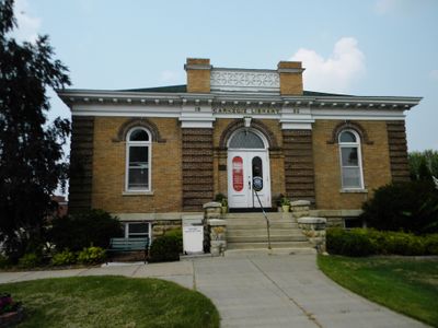
Trempealeau County, County seat in Wisconsin, United States

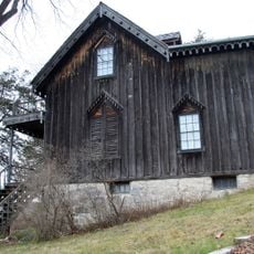
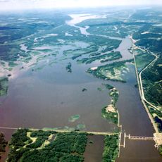
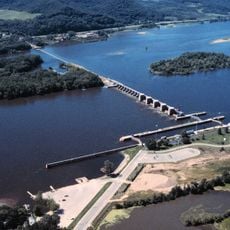
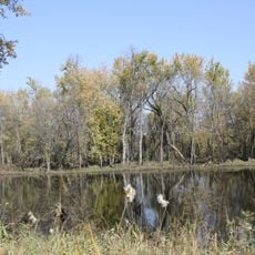
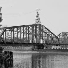
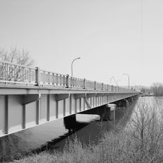
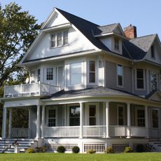
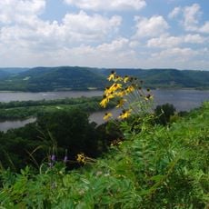
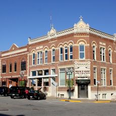
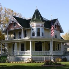
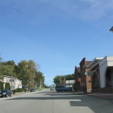
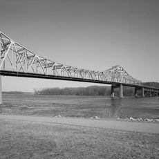
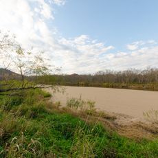
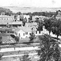
Trempealeau County is an administrative area in western Wisconsin containing farmland, forests, and rivers that shape the local landscape. Several towns and villages spread across the region, with Whitehall serving as the main administrative center.

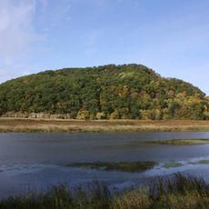
French fur traders named a local mountain La Montagne qui trempe à l'eau, which gave rise to the county's name when it was established in 1854. Waves of European immigration later transformed the area into farming communities and small towns.

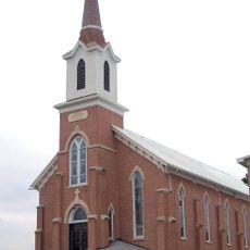
Norwegian and Polish immigrants shaped communities here starting in the late 1800s, leaving traditions that remain visible in local gatherings and customs today. These influences continue to show in how families celebrate and how people connect with one another in the region.

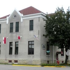
The administrative office in Whitehall serves residents and visitors with information and services related to county matters. Spring through fall offers the easiest access for exploration, as roads and local attractions are most accessible during these seasons.

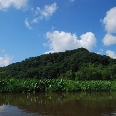
The Department of Land Management runs an annual plant sale offering native trees and shrubs to help landowners restore wildlife habitats. Residents can use these plants to improve their properties while supporting local animal populations and conservation efforts.

Location: Wisconsin

Inception: 1854

Capital city: Whitehall

Shares border with: Buffalo County, Eau Claire County, Jackson County, La Crosse County, Winona County

Website: http://tremplocounty.com

GPS coordinates: 44.30000,-91.35000

Latest update: December 7, 2025 20:23

Photos
Around this place
Perrot State Park
United States of America

Perrot State Park

32.7 km
Basilica of Saint Stanislaus Kostka
United States of America

Basilica of Saint Stanislaus Kostka

35.6 km
Gale College
United States of America

Gale College

24.7 km
Willard Bunnell House
United States of America

Willard Bunnell House

35.2 km
Lock and Dam No. 5A
United States of America

Lock and Dam No. 5A

35.2 km
Lock and Dam No. 6
United States of America

Lock and Dam No. 6

34.2 km
Trempealeau Mountain State Natural Area
United States of America

Trempealeau Mountain State Natural Area

33.1 km
Trempealeau National Wildlife Refuge
United States of America

Trempealeau National Wildlife Refuge

32.8 km
Winona Rail Bridge
United States of America

Winona Rail Bridge

34.6 km
North Channel Bridge
United States of America

North Channel Bridge

35 km
Sacred Heart-Saint Wenceslaus Church
United States of America

Sacred Heart-Saint Wenceslaus Church

23.2 km
Tollef Jensen House
United States of America

Tollef Jensen House

24.2 km
Fort Trempealeau
United States of America

Fort Trempealeau

33.3 km
Latsch Building
United States of America

Latsch Building

35.6 km
Arcadia Free Public Library
United States of America

Arcadia Free Public Library

12.8 km
Brady's Bluff Prairie State Natural Area
United States of America

Brady's Bluff Prairie State Natural Area

33 km
Bridge No. 4
United States of America

Bridge No. 4

30.9 km
Coman House
United States of America

Coman House

33.6 km
Fugina House
United States of America

Fugina House

34.8 km
Harmonia Hall
United States of America

Harmonia Hall

29.7 km
Downtown Historic District
United States of America

Downtown Historic District

24.2 km
Ridge Avenue Historic District
United States of America

Ridge Avenue Historic District

24.1 km
Polish Cultural Institute and Museum
United States of America

Polish Cultural Institute and Museum

35.5 km
John F. Cance House
United States of America

John F. Cance House

24.2 km
Main Street Historic District
United States of America

Main Street Historic District

33.7 km
Main Channel Bridge
United States of America

Main Channel Bridge

35.6 km
Watkins Museum
United States of America

Watkins Museum

35.6 km
Van Loon Wildlife Area
United States of America

Van Loon Wildlife Area

30.8 km
Show the full map
Reviews

Visited this place? Tap the stars to rate it and share your experience / photos with the community! Try now! You can cancel it anytime.

Administrative divisions
« Trempealeau County - County seat in Wisconsin, United States » is provided by Around Us (aroundus.com). Images and texts are derived from Wikimedia project under a Creative Commons license. You are allowed to copy, distribute, and modify copies of this page, under the conditions set by the license, as long as this note is clearly visible.

Discover hidden gems everywhere you go!

From secret cafés to breathtaking viewpoints, skip the crowded tourist spots and find places that match your style. Our app makes it easy with voice search, smart filtering, route optimization, and insider tips from travelers worldwide. Download now for the complete mobile experience.

Around Us App Screenshot

A unique approach to discovering new places

Le Figaro

All the places worth exploring

France Info

A tailor-made excursion in just a few clicks

20 Minutes