·

Enable Location

We need your location to show you interesting places around you

Discover nearby places

Find interesting locations and hidden gems around you

Precise directions

Get accurate directions and distances to places

Your location is never shared with other users. It's only used when you tap the location button.

Wayne County

Log in to your account

Start exploring — it's free

Trusted by 62,747 travelers worldwide

Continue with Google
Continue with Apple
or

We will send you a code to connect

By continuing, you accept our Terms and Conditions and our Privacy Policy

Check your inbox

We've sent a pincode in your inbox. Please enter the code below.

Wayne County, County in southern Tennessee, US

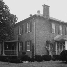
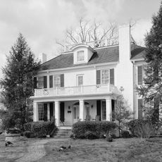
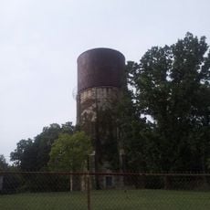
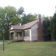
Wayne County is a county in south central Tennessee, covering an area of wooded hills and river terrain. The region is marked by small communities, with Waynesboro serving as the administrative hub that provides local services to surrounding areas.

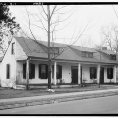
The county was established in 1817 from parts of neighboring counties, with Waynesboro becoming the county seat three years later. Early development was shaped by pioneer settlement in the fertile river valleys and local economic activity.

The Wayne County History and Craft Fair brings together local artisans, traditional craftspeople, and residents to celebrate regional traditions through exhibitions and demonstrations.

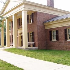
The area has schools and a small college extension that serve local educational needs. Visitors should expect rural infrastructure with public services spread across several small towns.

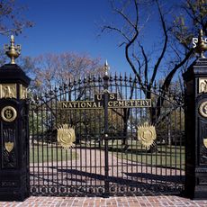
During the Civil War, the county displayed unexpected Union sympathies, with voting results showing clear support for the North. This was an unusual stance for a district in a Southern state and revealed the political divisions of that era.

The community of curious travelers

AroundUs brings together thousands of curated places, local tips, and hidden gems, enriched daily by 60,000 contributors worldwide.

Start exploring
Location
Inception
1817
Capital city
Waynesboro
Shares border with
Perry County, Lewis County, Lawrence County, Lauderdale County, Hardin County, Decatur County
GPS coordinates
35.24000,-87.79000
Latest update
December 7, 2025 19:25
Around this place
Pickwick Lake
United States of America

Pickwick Lake

42.9 km
The Elephant Sanctuary
United States of America

The Elephant Sanctuary

43.6 km
Sweetwater Mansion
United States of America

Sweetwater Mansion

48.2 km
David Crockett State Park
United States of America

David Crockett State Park

40 km
Braly Municipal Stadium
United States of America

Braly Municipal Stadium

49 km
Cherry Mansion
United States of America

Cherry Mansion

42.5 km
Shiloh Indian Mounds Site
United States of America

Shiloh Indian Mounds Site

49.7 km
Pickwick Landing State Park
United States of America

Pickwick Landing State Park

45.8 km
Mousetail Landing State Park
United States of America

Mousetail Landing State Park

50.3 km
Shiloh National Cemetery
United States of America

Shiloh National Cemetery

49.2 km
Wesleyan Hall
United States of America

Wesleyan Hall

49 km
Rogers Hall
United States of America

Rogers Hall

49.4 km
Riverton Lock
United States of America

Riverton Lock

45.7 km
Hufstedler Gravehouse
United States of America

Hufstedler Gravehouse

36.4 km
Lewis County Courthouse
United States of America

Lewis County Courthouse

40.8 km
Sacred Heart of Jesus Church
United States of America

Sacred Heart of Jesus Church

41.3 km
United States of America

James Graham House

39.8 km
Old Florence Water Tower
United States of America

Old Florence Water Tower

47.1 km
Perry County Courthouse
United States of America

Perry County Courthouse

42.2 km
James Martin House
United States of America

James Martin House

47.9 km
Wood Avenue Historic District
United States of America

Wood Avenue Historic District

49.3 km
Garrett House
United States of America

Garrett House

41.3 km
Cherry Street Historic District
United States of America

Cherry Street Historic District

49.3 km
William Bowen Lustron House
United States of America

William Bowen Lustron House

48 km
Meady White House
United States of America

Meady White House

41 km
College Place Historic District
United States of America

College Place Historic District

48.5 km
Tennessee River Museum
United States of America

Tennessee River Museum

42 km
Shiloh National Military Park Visitor Center
United States of America

Shiloh National Military Park Visitor Center

49.4 km
Show the full map
Administrative divisions
« Wayne County - County in southern Tennessee, US » is provided by Around Us (aroundus.com). Images and texts are derived from Wikimedia project under a Creative Commons license. You are allowed to copy, distribute, and modify copies of this page, under the conditions set by the license, as long as this note is clearly visible.

Discover hidden gems everywhere you go!

From secret cafés to breathtaking viewpoints, skip the crowded tourist spots and find places that match your style. Our app makes it easy with voice search, smart filtering, route optimization, and insider tips from travelers worldwide. Download now for the complete mobile experience.

Around Us App Screenshot

A unique approach to discovering new places

Le Figaro

All the places worth exploring

France Info

A tailor-made excursion in just a few clicks

20 Minutes

Around Us
Travel Guide & Maps
Download

Send to your phone

QR Code
1

Open the camera app on your mobile.

2

Point at the QR code with your camera. A notification will appear.

3

Tap the notification to open the link.