Claiborne County, Administrative county in Tennessee, United States.
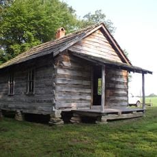
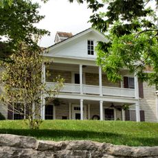
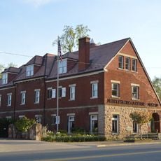
Claiborne County extends across eastern Tennessee with varied landscapes including hills, valleys, and waterways. The area is administered from the town of Tazewell, which hosts educational institutions, healthcare centers, and county offices.
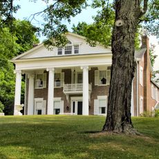
The Tennessee General Assembly established this county on October 29, 1801, with Tazewell designated as its administrative center. The creation reflected the state's early expansion into its eastern regions.
Local festivals throughout the year celebrate Tennessee traditions with music performances, craft demonstrations, and agricultural exhibitions. These gatherings reflect the rural identity and community bonds that define life here.
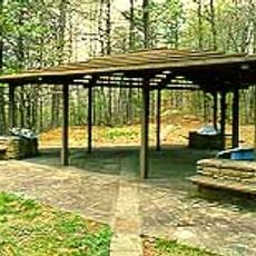
Visitors find the area most active during local festivals and community events. Since this is a rural region, planning travel in advance helps navigate the spread-out landscape effectively.
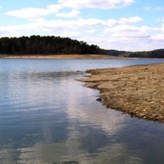
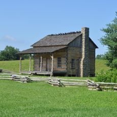
Multiple rivers and streams flow through the area and once powered mills and industrial sites that shaped early settlement patterns. These waterways remain defining features of the landscape today.
The community of curious travelers
AroundUs brings together thousands of curated places, local tips, and hidden gems, enriched daily by 60,000 contributors worldwide.