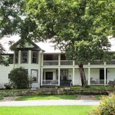
Hancock County, County administrative division in northeastern Tennessee, United States
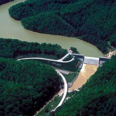
Hancock County is an administrative division in northeastern Tennessee with mountains, valleys, and two major rivers that wind through the landscape. The Clinch and Powell Rivers create natural features that shape how the land looks and how people move through it.
The Tennessee Supreme Court established Hancock County in 1848 to resolve legal disputes between residents of neighboring Hawkins and Claiborne counties. This creation came from conflicts over land boundaries and which county should govern certain areas.
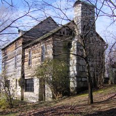
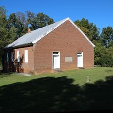
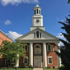
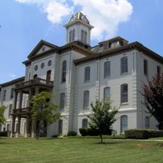
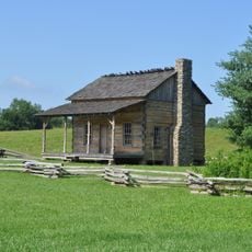
The Vardy Community School represents an important part of local history by documenting how education served mixed-ancestry communities in the early 1900s. Walking through the region, you can sense how learning institutions shaped the identity of people who lived here.
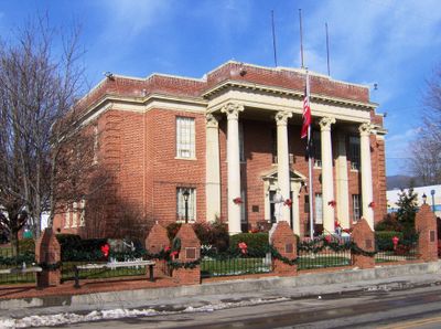
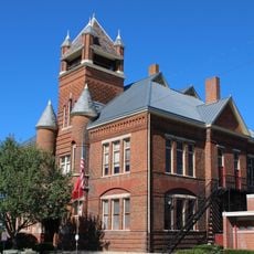
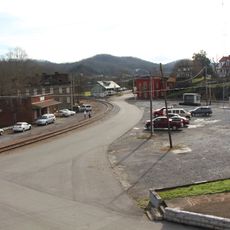
County government offices are located in Sneedville and handle services like building permits, waste management, and road maintenance. It helps to call ahead or check local information before visiting for any administrative matters you may need to address.
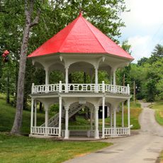
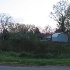
Hancock County ranks among Tennessee's least populated counties, with large stretches of land that feel open and spacious. This quietness makes the area feel quite different from more crowded regions of the state.
Location: Tennessee
Inception: 1844
Capital city: Sneedville
Shares border with: Lee County, Scott County, Hawkins County, Grainger County, Claiborne County
Website: http://hancockcountytn.com
GPS coordinates: 36.53000,-83.22000
Latest update: December 7, 2025 10:08
United States Penitentiary
27.4 km
Morristown College
35 kmWilderness Road State Park
29.5 km
Crockett Tavern Museum
34.6 km
Vardy Community School
6.7 kmMorristown Main Street Historic District
35.9 km
Tate Springs Springhouse
24.1 km
The Cedars Natural Area Preserve
15.9 km
Rose Center
36 km
Amis House
26.7 km
Bethesda Presbyterian Church
31.5 km
Rogersville Historic District
23.6 km
Hawkins County Courthouse
23.6 kmOverton Lodge
23.7 km
Bulls Gap Historic District
33 km
St. Marks Presbyterian Church
23.2 km
Hamblen County Courthouse
36.1 km
New Providence Presbyterian Church, Academy, and Cemetery
35.7 km
Stony Point
36 km
Jonesville Methodist Campground
18.3 km
Long Meadow
32.8 km
William Cocke House
33.1 km
Dickinson-Milbourn House
19.5 km
Hale Springs Inn
23.5 km
Wilderness Road State Park
29.6 km
Kesterson-Watkins House
24.8 km
Crockett Tavern Museum
34.6 km
Martins Fork Lake
24.3 kmVisited this place? Tap the stars to rate it and share your experience / photos with the community! Try now! You can cancel it anytime.
Discover hidden gems everywhere you go!
From secret cafés to breathtaking viewpoints, skip the crowded tourist spots and find places that match your style. Our app makes it easy with voice search, smart filtering, route optimization, and insider tips from travelers worldwide. Download now for the complete mobile experience.
A unique approach to discovering new places❞
— Le Figaro
All the places worth exploring❞
— France Info
A tailor-made excursion in just a few clicks❞
— 20 Minutes