Lincoln County, County in West Virginia, United States.
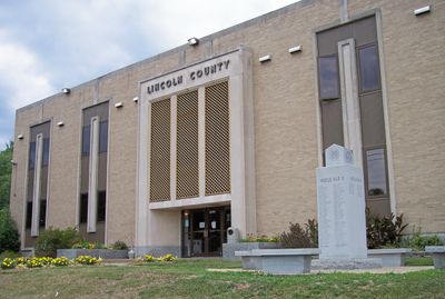
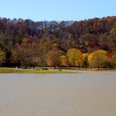
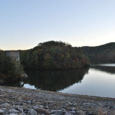
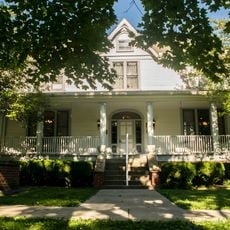
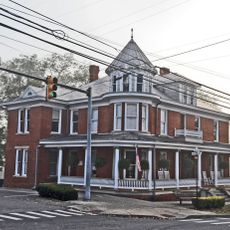
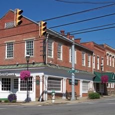
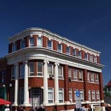
Lincoln County is an administrative division in West Virginia characterized by forested hills, open valleys, and the Guyandotte River valley running through it. Hamlin serves as the county seat, functioning as the center for local services in this rural area.
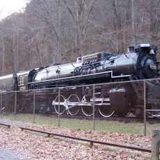
The county was formed in 1867 from portions of neighboring counties and named for President Abraham Lincoln. The local economy shifted from tobacco cultivation to timber harvesting after the Civil War, with natural gas becoming important later.
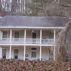
Residents maintain strong ties to the land through farming families who have worked the same properties for generations, visible in scattered homesteads and agricultural fields across the valleys.
The area is accessible via U.S. Route 119, which passes through Hamlin and connects to nearby regions. Visiting typically requires a car since public transportation is limited in this rural setting.
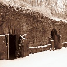
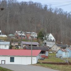
The area underwent economic transformation in the 20th century when mining operations created infrastructure that still shapes the local landscape today. This industrialization left a distinctive terrain where mountains show visible traces of that extractive history.
Location: West Virginia
Inception: February 23, 1867
Capital city: Hamlin
Shares border with: Putnam County, Mingo County, Logan County, Boone County, Kanawha County, Cabell County, Wayne County
Website: http://lincolncountywv.org
GPS coordinates: 38.18000,-82.07000
Latest update: December 7, 2025 20:21
Mardi Gras Casino and Resort
35.1 km
Beech Fork State Park
28.3 km
Chief Logan State Park
32.2 km
Kanawha State Forest
39.1 km
Beech Fork Lake
31.3 km
East Lynn Lake
27.7 km
Hermitage of the Holy Cross
25.4 km
Cabwaylingo State Forest
34.8 km
Chesapeake and Ohio 2755
32.4 km
Mud River Covered Bridge
28.6 km
Canty House
35 km
Lincoln National Bank
11.2 km
Chilton House
30.6 km
William E. Mohler House
30.6 km
Dutch Hollow Wine Cellars
35.9 km
St. Albans Post Office
30.8 km
Madison National Bank
25.2 km
Holley Hills Estate
24.3 km
The Beeches
30.7 km
East Hall
34.4 km
Boone County Courthouse
25.4 km
Thornburg House
32.2 km
St. Albans Main Street Historic District
30.6 km
Barboursville Historic District
32.2 km
Asbury House
28.6 km
Bank of St. Albans Building
30.6 km
James Weimer House
30.7 km
Nellis Historic District
28.9 kmVisited this place? Tap the stars to rate it and share your experience / photos with the community! Try now! You can cancel it anytime.
Discover hidden gems everywhere you go!
From secret cafés to breathtaking viewpoints, skip the crowded tourist spots and find places that match your style. Our app makes it easy with voice search, smart filtering, route optimization, and insider tips from travelers worldwide. Download now for the complete mobile experience.
A unique approach to discovering new places❞
— Le Figaro
All the places worth exploring❞
— France Info
A tailor-made excursion in just a few clicks❞
— 20 Minutes