
Preston County, Administrative county in Appalachian Mountains, West Virginia, United States
Preston County sits at an elevation of 526 meters and extends across mountain terrain with Kingwood serving as the central administrative hub.
The county formed from Monongalia County in 1818 and transferred from Virginia to West Virginia in 1863 during the American Civil War period.
The annual Buckwheat Festival brings residents together to celebrate local traditions through agricultural displays and preparation of buckwheat pancakes.
The Preston County Commission provides essential services through departments including animal shelter operations, tax collection, and emergency management systems.
The county maintains communication with residents through WENS, delivering immediate notifications about local emergencies and weather conditions.
Location: West Virginia
Inception: January 19, 1818
Capital city: Kingwood
Elevation above the sea: 526 m
Shares border with: Fayette County, Garrett County, Tucker County, Grant County, Barbour County, Taylor County, Monongalia County
Website: http://prestoncountywv.org
GPS coordinates: 39.47000,-79.67000
Latest update: May 27, 2025 10:04

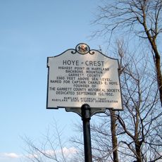
Hoye-Crest
30.4 km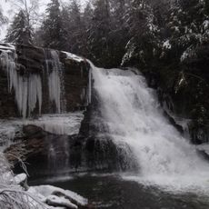
Swallow Falls State Park
21.2 km
Fairfax Stone State Park
34.4 km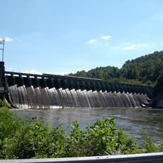
Cheat Lake
32.1 km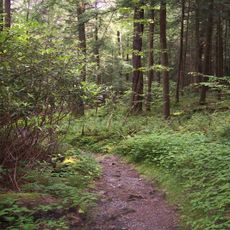
Cathedral State Park
19.6 km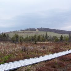
Cranesville Swamp Preserve
17.5 km
Mont Chateau State Park
26 km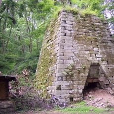
Henry Clay Furnace
23.6 km
Elkins Coal and Coke Company Historic District
14.6 km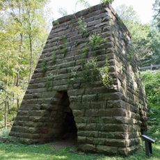
Virginia Furnace
7.3 km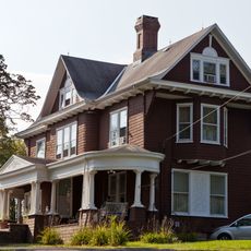
James S. Lakin House
10.9 km
Potomac-Garrett State Forest
18.4 km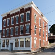
Terra Alta Bank
11 km
Garrett County Courthouse
23.7 km
Old Hemlock
20.4 km
Brookside Historic District
19.8 km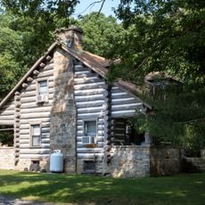
Cooper's Rock State Forest Superintendent's House and Garage
23.3 km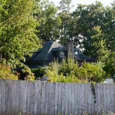
Indian Rocks Dining Hall
9.3 km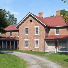
James Clark McGrew House
1.4 km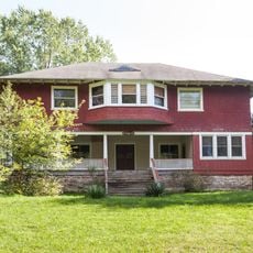
Gaymont
19.8 km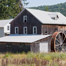
Reckart Mill
15.3 km
Camp Rhododendron
22.4 km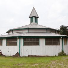
Ralphsnyder Decagonal Barn
12.2 km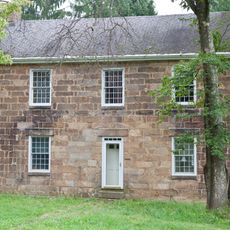
Col. Thomas Brown House
12.2 km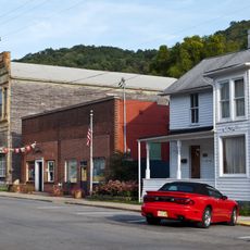
Downtown Rowlesburg Historic District
13.7 km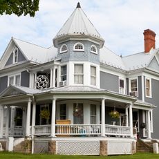
Kingwood Historic District
1.5 km
Arthurdale Historic District
12.8 km
Fairfax Stone Historical Monument
34.4 kmReviews
Visited this place? Tap the stars to rate it and share your experience / photos with the community! Try now! You can cancel it anytime.
Discover hidden gems everywhere you go!
From secret cafés to breathtaking viewpoints, skip the crowded tourist spots and find places that match your style. Our app makes it easy with voice search, smart filtering, route optimization, and insider tips from travelers worldwide. Download now for the complete mobile experience.

A unique approach to discovering new places❞
— Le Figaro
All the places worth exploring❞
— France Info
A tailor-made excursion in just a few clicks❞
— 20 Minutes